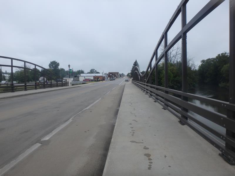
Road Stream Crossing Site TBW_TBMO206
Thunder Bay River Watershed, Thunder Bay River
State Street
Hillman Twp,
Montmorency County
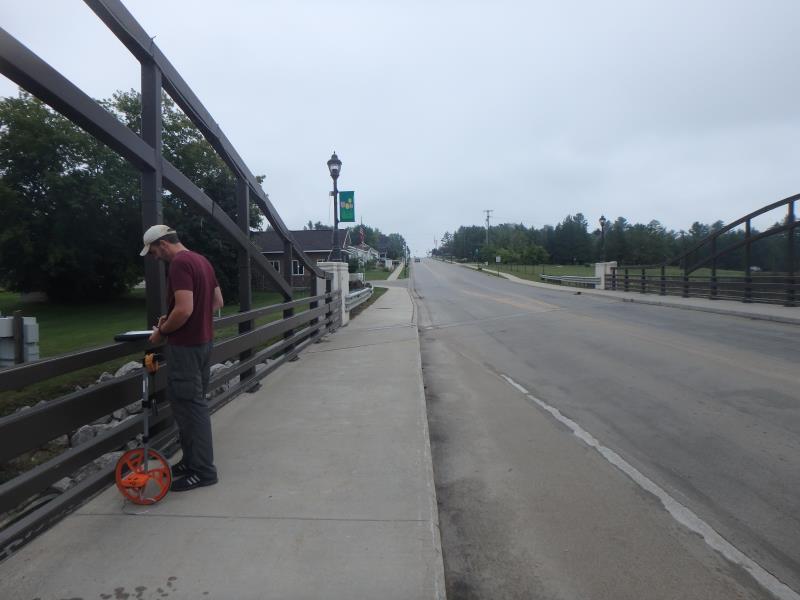
Information collected by:
Site Location
GPS Coordinates: 45.06309
, -83.90086
T31N
R4E
Sec 24
Owned by Local Government
Fish Passability 0.5
Structure is NOT Perched
Total Erosion: 5.2752 tons/year
Severity: Severe
Year Inventoried: 2017

Site ID
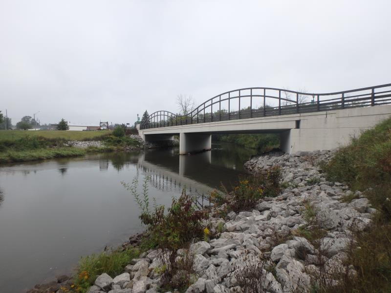
Inlet
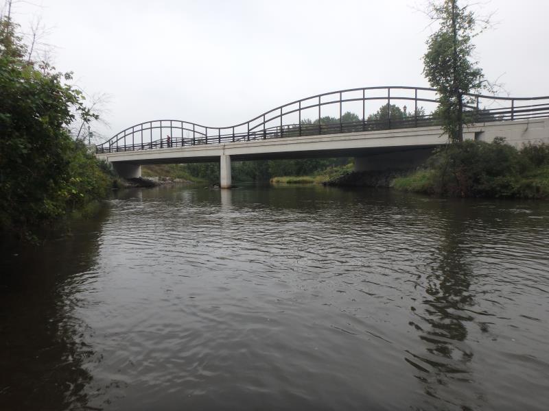
Outlet
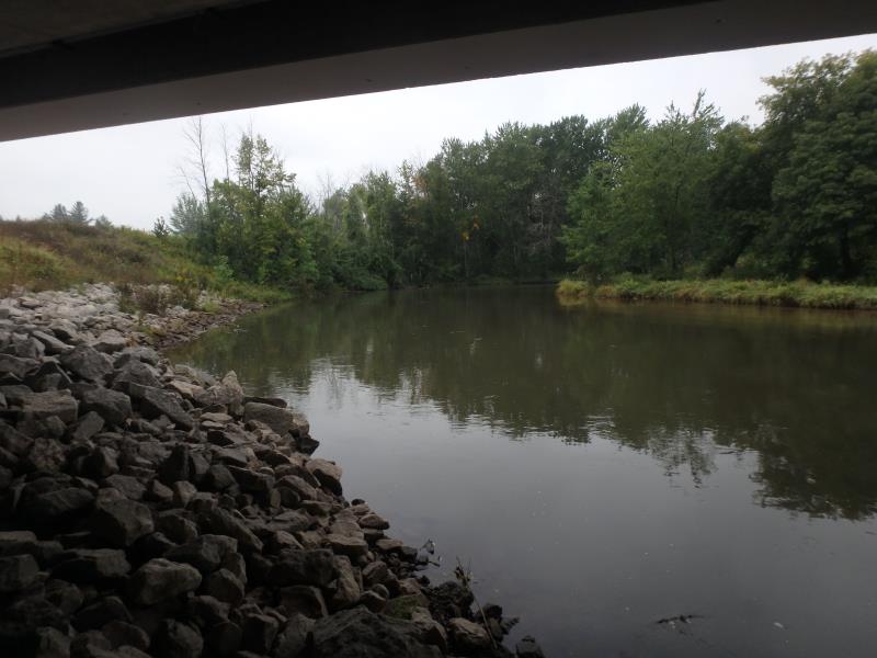
Upstream Conditions
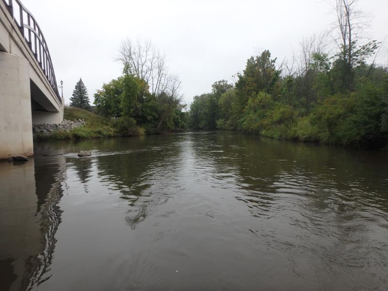
Downstream Conditions
Road Approach - Left
Road Approach - Right
Crossing Information
Type of Crossing: Bridge
Structure Shape: Open Bottom Square/Rectangle
Inlet Type: Projecting
Outlet Type: At Stream Grade
Structure Material: Concrete
Structure Substrate: Gravel
General Conditions: Good
Structure Interior: smooth
Dimensions of Structure: Length 48.5 ft.
, Width 195.5 ft.
, Height 17 ft.
Structure is NOT Perched
Structure Inlet
Water Depth: 2.5 ft.
Water Velocity*: 1.8 ft./sec.
Structure Outlet
Water Depth: 1.95 ft.
Water Velocity*: 2.1 ft./sec.
*Water Velocities were measured 0.3 ft. below Surface
(with Meter)
Stream Information
Stream Flow: Less than Bankfull
Riffle Information
Water Depth: 3.2 ft.
Bankfull Width: 106 ft.
Wetted Width: 84 ft.
Water Velocity: 2 ft./sec.
(Measured with Meter)
Dominant Substrate: Gravel
Road Information
Paved
Town Road
Road Condition: Good
Road Width at Culvert: 32.5 ft.
Location of Low Point: Other
Runoff Path: Roadway
Fill Depth: 0 ft.
Slope: Vertical
Fill Depth: 0 ft.
Slope: Vertical
Approaches
Left Approach
Length: 0 ft.
Slope: 1% to 5%
Vegetation: None
LS Factor: 0.17
Erosion: 0 tons/year
Right Approach
Length: 1000 ft.
Slope: 6% to 10%
Vegetation: None
LS Factor: 4.91
Erosion: 5.2752 tons/year
Erosion Information
Total Erosion at Crossing: 5.2752 tons/year
Extent of Erosion: Minor
Summary Information
Fish Passability 0.5
These non-native species were observerd at this site: Spotted Knapweed, Reed Canary Grass, Autumn Olive
�