Road Stream Crossing Site TBW_TBMO208
Thunder Bay River Watershed, Unnamed
W 3rd ST
Hillman Twp,
Montmorency County
Information collected by:
Site Location
GPS Coordinates: 45.06652
, -83.90427
T31N
R4E
Sec 23
Owned by Local Government
Fish Passability 0.5
Structure is NOT Perched
Total Erosion: 0.2952 tons/year
Severity: Moderate
Year Inventoried: 2017
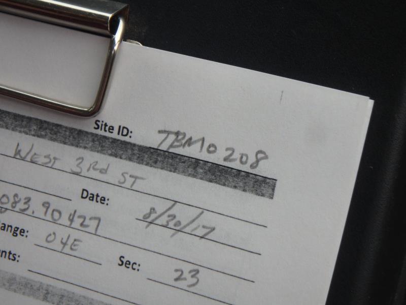
Site ID
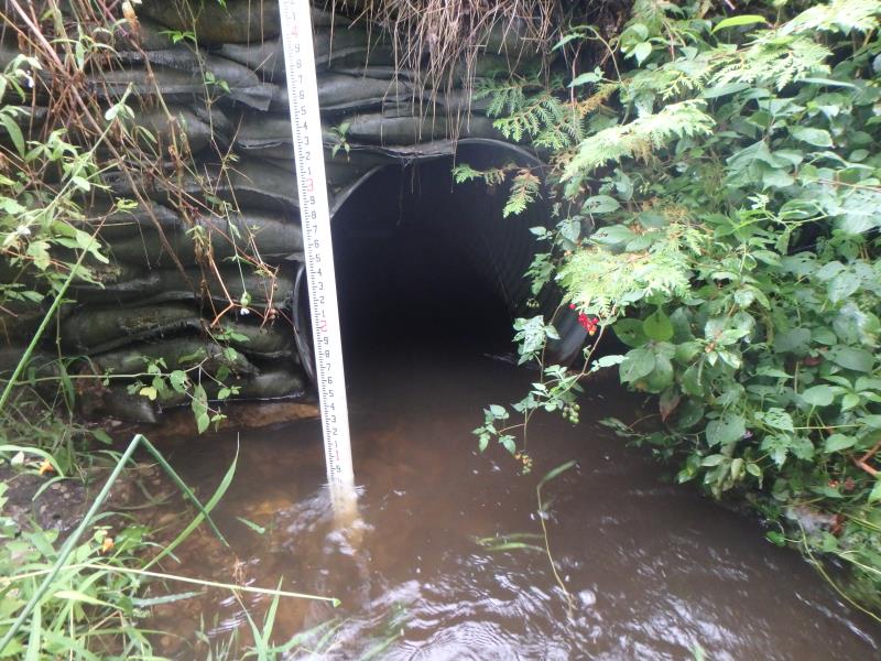
Inlet
Outlet
Upstream Conditions
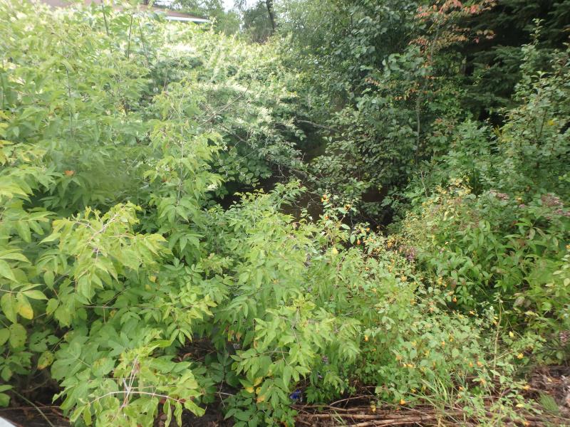
Downstream Conditions
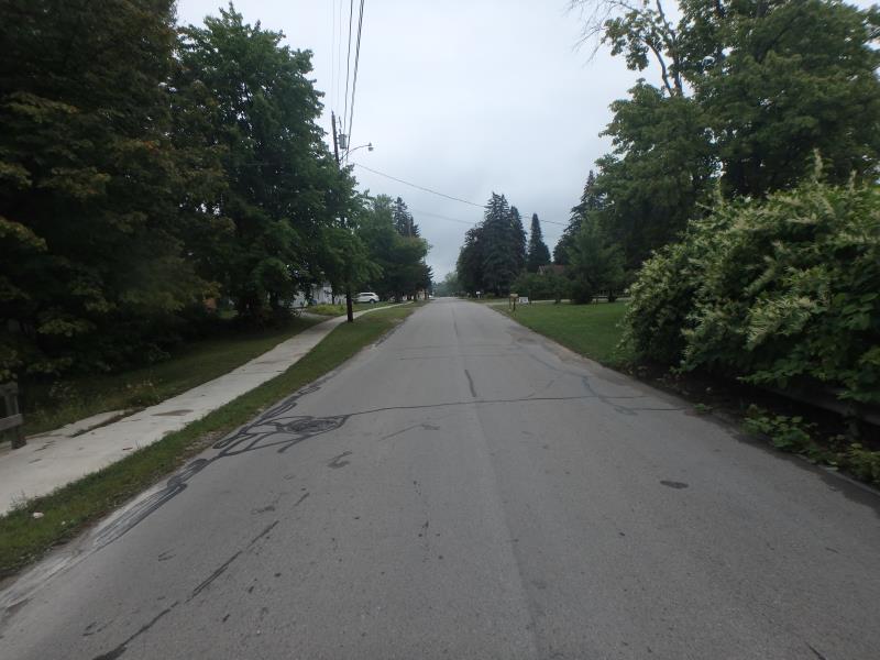
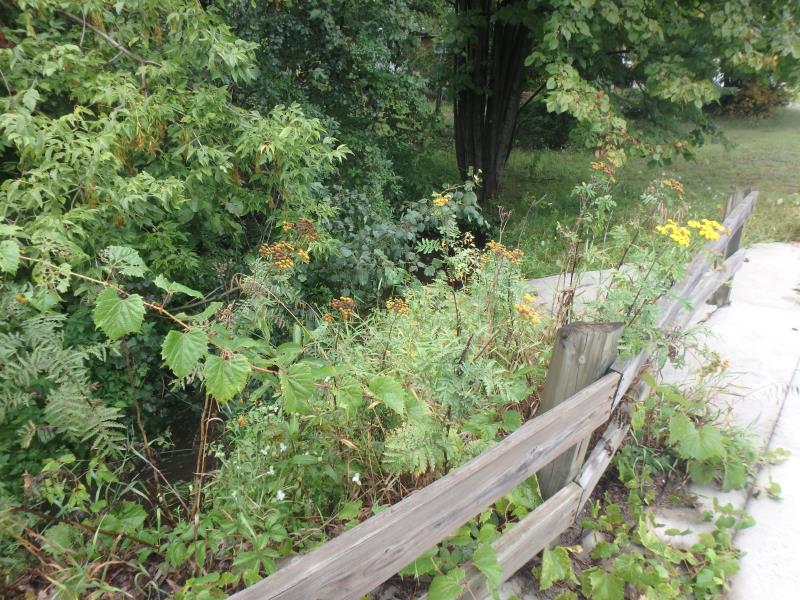
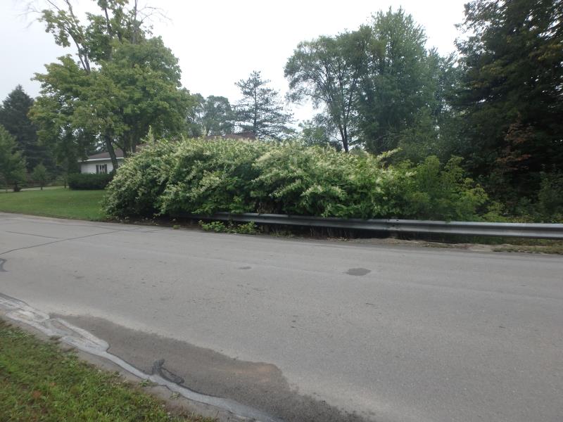
Road Approach - Left
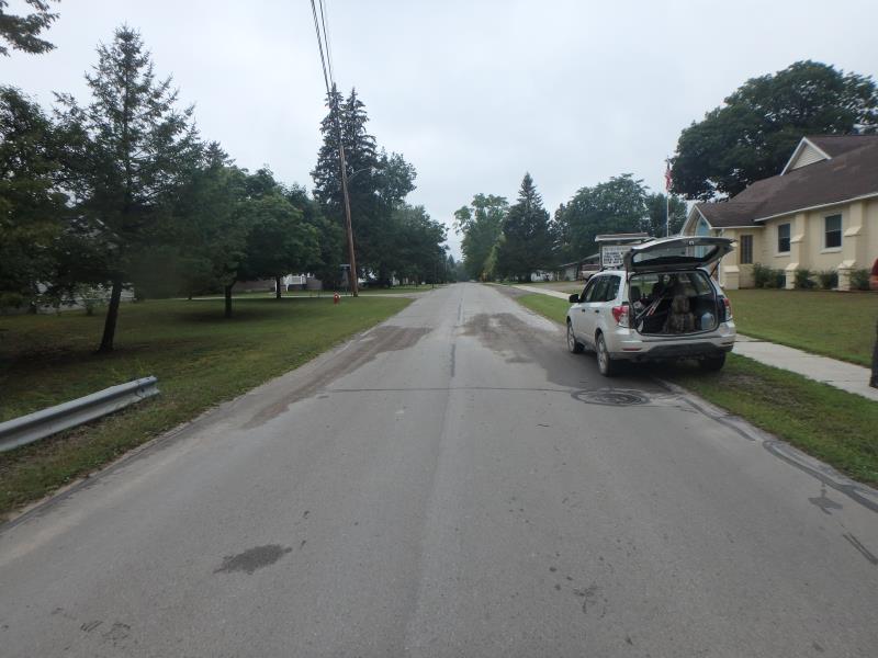
Road Approach - Right
other
other
Crossing Information
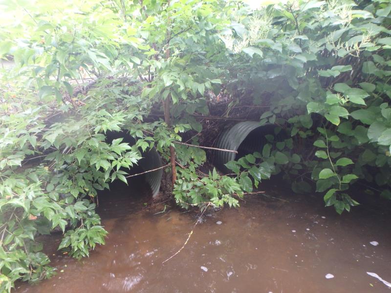
Type of Crossing: culvert(s)
Number of Structures: 2
Structure Shape: Round
Inlet Type: Headwall
Outlet Type: At Stream Grade
Structure Material: Metal
Structure Substrate: None
General Conditions: Poor
Multiple Culverts/Spans | ||||
Culvert/Span | Width | Length | Height | Material |
1 |
3 ft. |
38 ft. |
3 ft. |
Metal |
2 |
3 ft. |
38 ft. |
3 ft. |
Metal |
Structure Interior: corrugated
Structure is Rusted through
Dimensions of Structure: Length 38 ft.
, Width 3 ft.
, Height 3 ft.
Structure is NOT Perched
Structure Inlet
Water Depth: 0.7 ft.
Embedded Depth of Structure: 0 ft.
Water Velocity*: 2 ft./sec.
Structure Outlet
Water Depth: 0.6 ft.
Embedded Depth of Structure: 0 ft.
Water Velocity*: 2.3 ft./sec.
*Water Velocities were measured 0.3 ft. below Surface
(with Meter)
Stream Information
Stream Flow: More than Bankfull
Scour Pool: Length 32.5 ft.
, Width 18.5 ft.
, Depth 2.4 ft.
Riffle Information
Water Depth: 0.8 ft.
Bankfull Width: 14 ft.
Wetted Width: 17 ft.
Water Velocity: 0.4 ft./sec.
(Measured with Meter)
Dominant Substrate: Sand
Road Information
Paved
Town Road
Road Condition: Fair
Road Width at Culvert: 21 ft.
Location of Low Point: At Stream
Runoff Path: Roadway
Embankments
Upstream
Fill Depth: 2 ft.
Slope: Vertical
Downstream
Fill Depth: 1.5 ft.
Slope: Vertical
Approaches
Left Approach
Length: 276 ft.
Slope: 1% to 5%
Vegetation: Partial
LS Factor: 0.536
Erosion: 0.1026 tons/year
Right Approach
Length: 448 ft.
Slope: 1% to 5%
Vegetation: Partial
LS Factor: 0.619
Erosion: 0.1926 tons/year
Erosion Information
Total Erosion at Crossing: 0.2952 tons/year
Extent of Erosion: Minor
Erosion is occurring and corrective actions can be installed to address the problem.
Summary Information
Fish Passability 0.5
Erosion is an area of concern for this site.
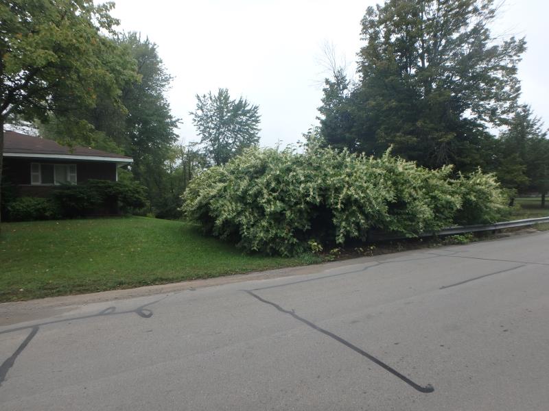
CONCRETE CRUMBLING AND PRESENCE OF JAPANESE KNOTWEED MAY CONTRIBUTE TO MORE CRUMBLING
These non-native species were observerd at this site: Japanese Knotweed and Queen Anne's Lace
�