Road Stream Crossing Site TBW_TBMO210
Thunder Bay River Watershed, Unnamed
Sunrise Lane
Hillman Twp,
Montmorency County
Information collected by:
Site Location
GPS Coordinates: 45.09645
, -83.96713
T31N
R4E
Sec 08
Owned by Private
State
State
Fish Passability 0.9
Structure is NOT Perched
Total Erosion: 0.2534 tons/year
Severity: Moderate
Year Inventoried: 2017
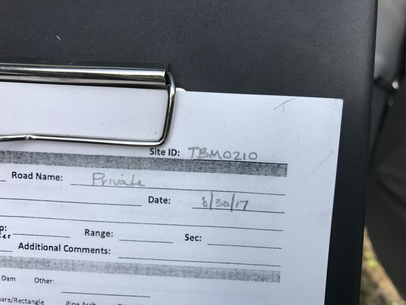
Site ID
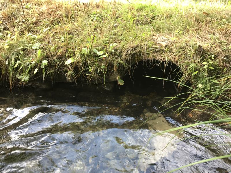
Inlet
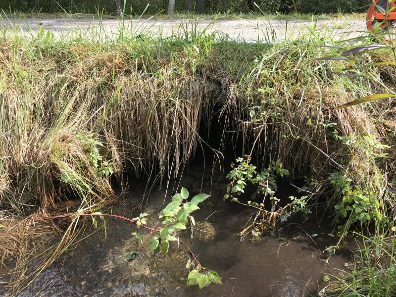
Outlet
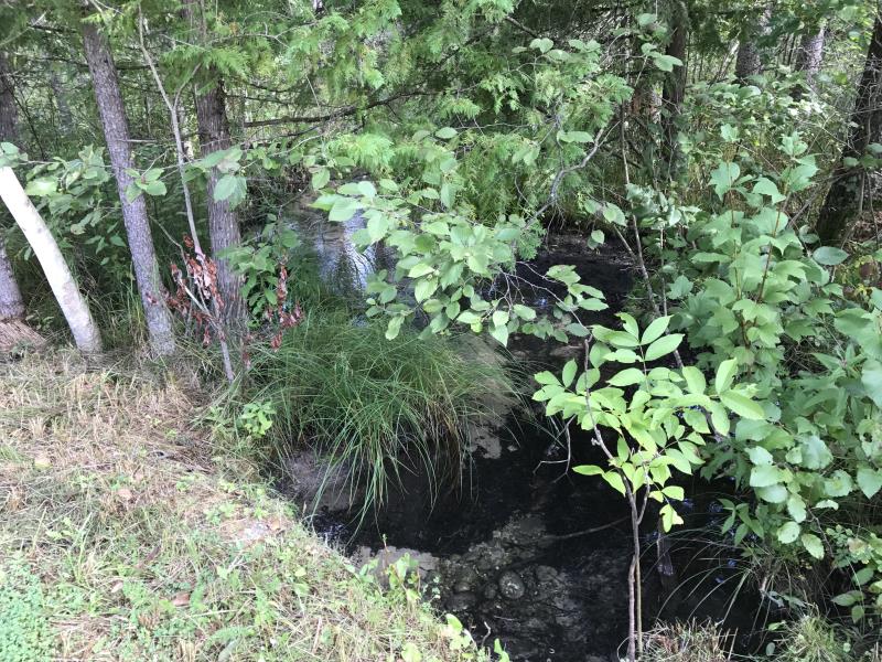
Upstream Conditions
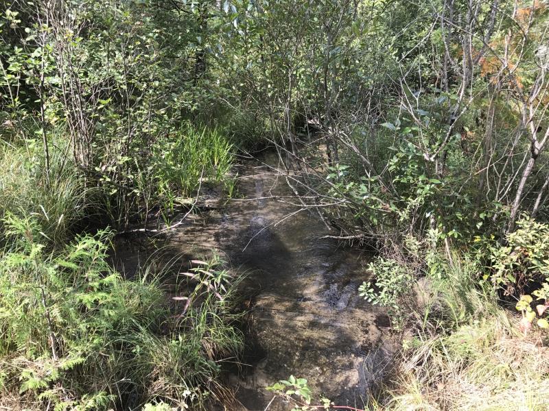
Downstream Conditions
Road Approach - Left
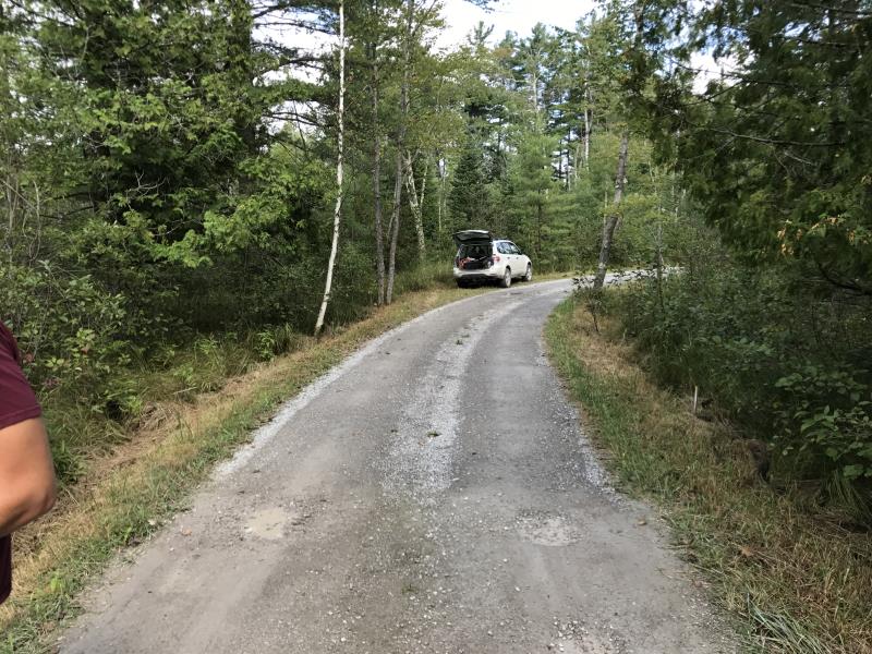
Road Approach - Right
Crossing Information
Type of Crossing: culvert(s)
Number of Structures: 1
Structure Shape: Round
Inlet Type: Headwall
Outlet Type: At Stream Grade
Structure Material: Concrete
Structure Substrate: Mixture
General Conditions: Fair
Structure Interior: corrugated
Dimensions of Structure: Length 16.2 ft.
, Width 2 ft.
, Height 2 ft.
Structure is NOT Perched
Structure Inlet
Water Depth: 0.7 ft.
Embedded Depth of Structure: 0.2 ft.
Water Velocity*: 1.1 ft./sec.
Structure Outlet
Water Depth: 0.6 ft.
Embedded Depth of Structure: 0 ft.
Water Velocity*: 1.6 ft./sec.
*Water Velocities were measured 0.3 ft. below Surface
(with Meter)
Stream Information
Stream Flow: Less than 1/2 Bankfull
Riffle Information
Water Depth: 0.8 ft.
Bankfull Width: 5 ft.
Wetted Width: 4 ft.
Water Velocity: 0.8 ft./sec.
(Measured with Meter)
Dominant Substrate: Sand
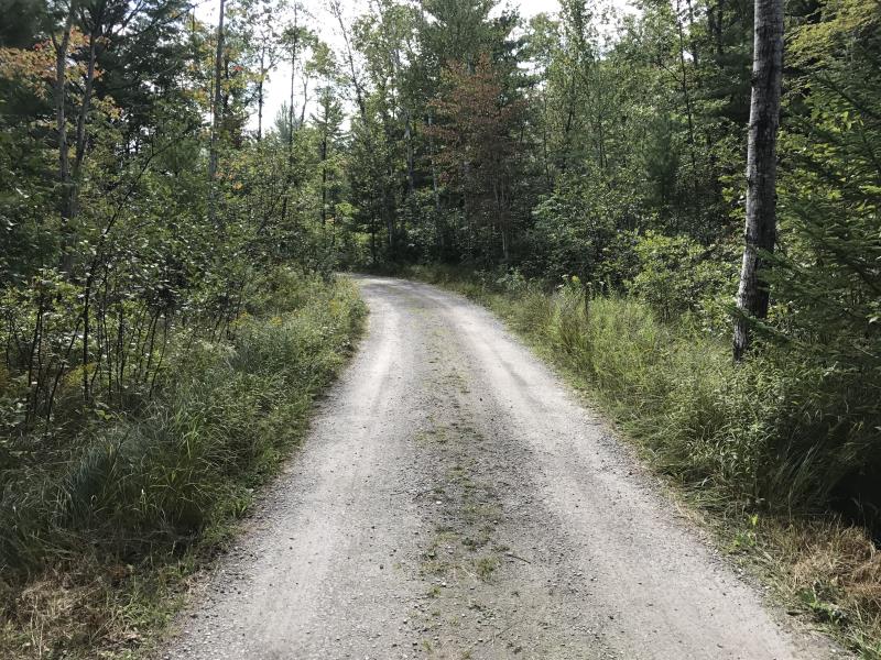
Road Information
Gravel
Private Road
Road Condition: Good
Road Width at Culvert: 9.2 ft.
Location of Low Point: At Stream
Runoff Path: Ditch
Embankments
Upstream
Fill Depth: 1 ft.
Slope: More than 1:2
Downstream
Fill Depth: 0.8 ft.
Slope: 1:2
Approaches
Left Approach
Length: 1000 ft.
Slope: Less Than 1%
Vegetation: Heavy
LS Factor: 0.05
Erosion: 0.1267 tons/year
Right Approach
Length: 1000 ft.
Slope: Less Than 1%
Vegetation: Heavy
LS Factor: 0.05
Erosion: 0.1267 tons/year
Erosion Information
Total Erosion at Crossing: 0.2534 tons/year
Extent of Erosion: Minor
Erosion is occurring and corrective actions can be installed to address the problem.
Summary Information
Fish Passability 0.9
�