Road Stream Crossing Site TBW_TBMO211
Thunder Bay River Watershed, Little Brush Creek
County Road 624
Hillman Twp,
Montmorency County
Information collected by:
Site Location
GPS Coordinates: 45.08804
, -83.97479
T31N
R4E
Sec 08
Owned by Private
Fish Passability 0.5
Structure is NOT Perched
Total Erosion: 1.9033 tons/year
Severity: Moderate
Year Inventoried: 2017
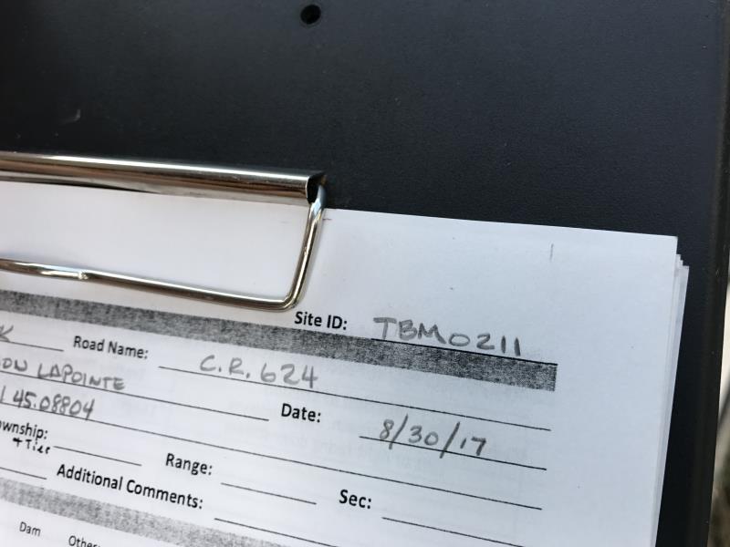
Site ID
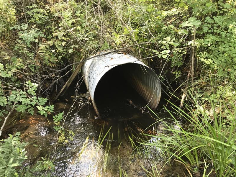
Inlet
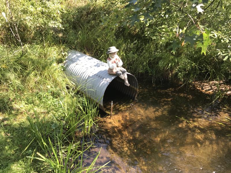
Outlet
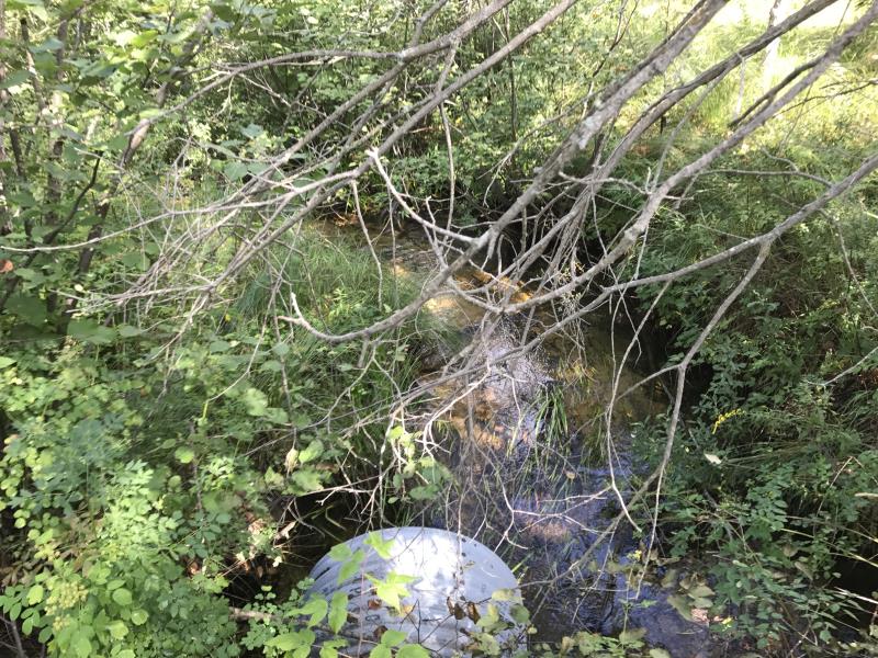
Upstream Conditions
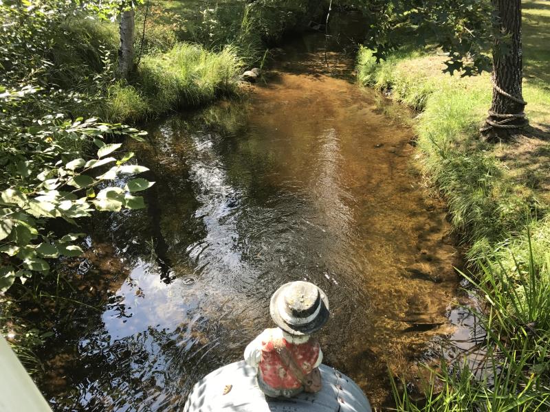
Downstream Conditions
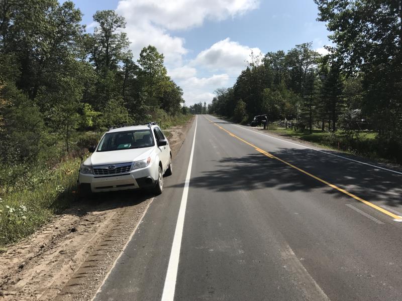
Road Approach - Left
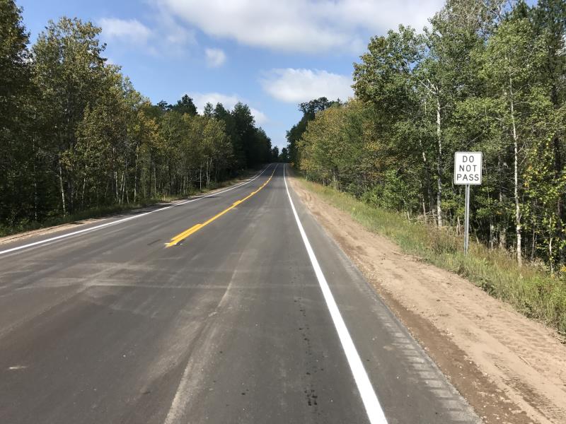
Road Approach - Right
Crossing Information
Type of Crossing: culvert(s)
Number of Structures: 1
Structure Shape: Round
Inlet Type: Projecting
Outlet Type: At Stream Grade
Structure Material: Metal
Structure Substrate: None
General Conditions: Fair
Structure Interior: corrugated
Dimensions of Structure: Length 128 ft.
, Width 3 ft.
, Height 3 ft.
Structure is NOT Perched
Structure Inlet
Water Depth: 0.7 ft.
Embedded Depth of Structure: 0 ft.
Water Velocity*: 2.1 ft./sec.
Structure Outlet
Water Depth: 0.7 ft.
Embedded Depth of Structure: 0 ft.
Water Velocity*: 2.4 ft./sec.
*Water Velocities were measured 0.3 ft. below Surface
(with Meter)
Additional Comments
RIFFLE TAKEN UPSTREAM OF STRUCTURE
Stream Information
Stream Flow: Less than 1/2 Bankfull
Scour Pool: Length 29 ft.
, Width 16.5 ft.
, Depth 3.1 ft.
Riffle Information
Water Depth: 1.1 ft.
Bankfull Width: 13 ft.
Wetted Width: 7 ft.
Water Velocity: 0.9 ft./sec.
(Measured with Meter)
Dominant Substrate: Sand
Road Information
Paved
County Road
Road Condition: Good
Road Width at Culvert: 28 ft.
Location of Low Point: Other
Runoff Path: Ditch
Embankments
Upstream
Fill Depth: 12 ft.
Slope: 1:2
Downstream
Fill Depth: 13 ft.
Slope: 1:2
Approaches
Left Approach
Length: 1000 ft.
Slope: 6% to 10%
Vegetation: Heavy
LS Factor: 2.05
Erosion: 1.8975 tons/year
Right Approach
Length: 0 ft.
Slope: 6% to 10%
Vegetation: Heavy
LS Factor: 0.54
Erosion: 0 tons/year
Erosion Information
Total Erosion at Crossing: 1.9033 tons/year
Extent of Erosion: Minor
Notes: MINOR EROSION ON EMBANKMENTS
Location of Erosion | Erosion Dimensions | Eroded Material | Material Eroded | Total Erosion | ||
facing downstream | Length | Width | Depth | Reaching Stream? | (tons/year) | |
Left Downstream Embankment |
30 ft. |
2 ft. |
0.2 ft. |
no |
Sandy Loam |
0.0058 |
Summary Information
Fish Passability 0.5
A future visit to this site is recommended. SCOURING
These non-native species were observerd at this site: Spotted Knapweed and Autumn Olive
�