Road Stream Crossing Site TBW_TBMO23
Thunder Bay River Watershed, Stanniger Creek
McCormick Lake Road
Vienna Twp,
Montmorency County
Information collected by:
Site Location
GPS Coordinates: 44.95884
, -84.25555
T30N
R01E
Sec 25
Owned by State
Fish Passability 0
Structure is NOT Perched
Total Erosion: 3.876 tons/year
Severity: Severe
Year Inventoried: 2017
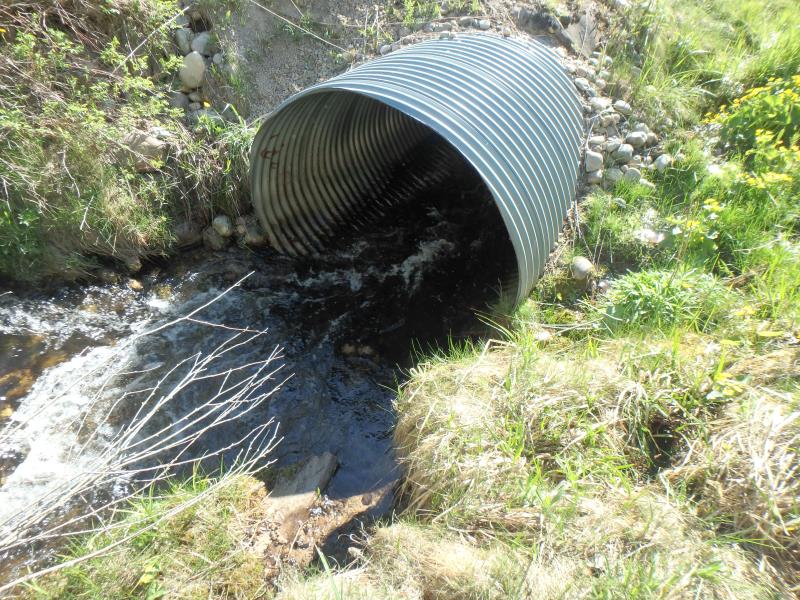
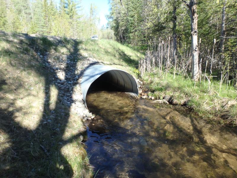
Inlet
Outlet
Upstream Conditions
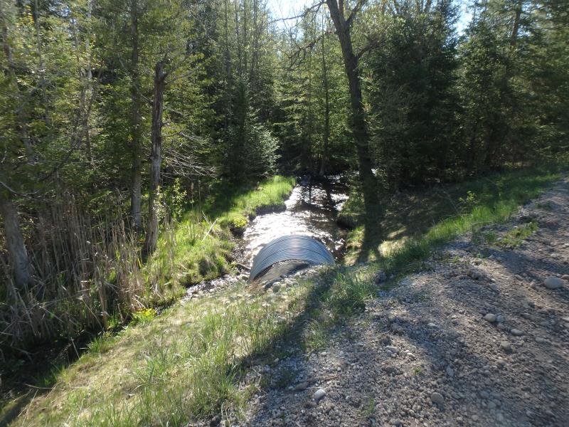
Downstream Conditions
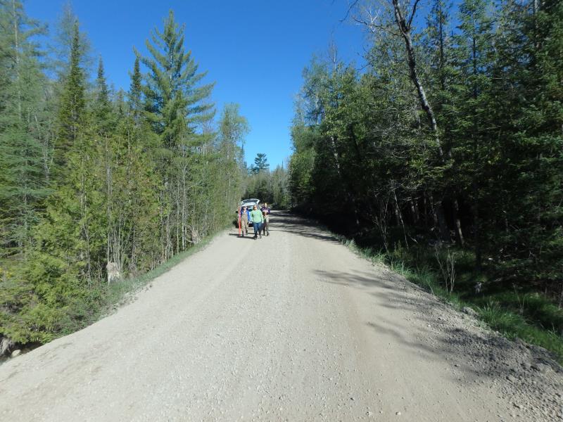
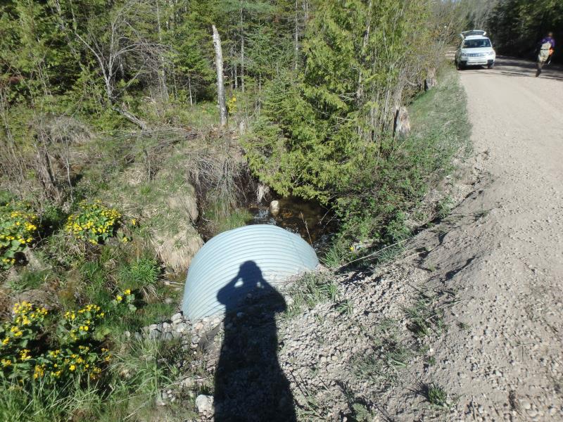
Road Approach - Left
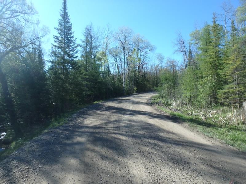
Road Approach - Right
Crossing Information
Type of Crossing: culvert(s)
Number of Structures: 1
Structure Shape: Pipe Arch
Inlet Type: Projecting
Outlet Type: At Stream Grade
Structure Material: Metal
Structure Substrate: None
General Conditions: Good
Structure Interior: corrugated
Dimensions of Structure: Length 65 ft.
, Width 6 ft.
, Height 5 ft.
Structure is NOT Perched
Structure Inlet
Water Depth: 0.9 ft.
Embedded Depth of Structure: 0 ft.
Water Velocity*: 6.5 ft./sec.
Structure Outlet
Water Depth: 1.2 ft.
Embedded Depth of Structure: 0 ft.
Water Velocity*: 2.1 ft./sec.
*Water Velocities were measured 0.5 ft. below Surface
(with Meter)
Stream Information
Stream Flow: Less than 1/2 Bankfull
Scour Pool: Length 17 ft.
, Width 12.4 ft.
, Depth 1.35 ft.
Riffle Information
Water Depth: 1.45 ft.
Bankfull Width: 11 ft.
Wetted Width: 10.4 ft.
Water Velocity: 1.9 ft./sec.
(Measured with Meter)
Dominant Substrate: Sand
Road Information
Gravel
County Road
Road Condition: Good
Road Width at Culvert: 19 ft.
Location of Low Point: At Stream
Runoff Path: Ditch
Embankments
Upstream
Fill Depth: 3 ft.
Slope: 1:2
Downstream
Fill Depth: 4.8 ft.
Slope: More than 1:2
Approaches
Left Approach
Length: 1000 ft.
Slope: 1% to 5%
Vegetation: Heavy
LS Factor: 0.57
Erosion: 2.9835 tons/year
Right Approach
Length: 350 ft.
Slope: 1% to 5%
Vegetation: Heavy
LS Factor: 0.47
Erosion: 0.861 tons/year
Erosion Information
Total Erosion at Crossing: 3.876 tons/year
Extent of Erosion: Moderate
Erosion is occurring and corrective actions can be installed to address the problem.
Location of Erosion | Erosion Dimensions | Eroded Material | Material Eroded | Total Erosion | ||
facing downstream | Length | Width | Depth | Reaching Stream? | (tons/year) | |
Left Upstream Embankment |
9 ft. |
6 ft. |
0.5 ft. |
yes |
Gravel |
0.0315 |
Summary Information
Fish Passability 0
Fish Passage is an area of concern for this site.
VELOCITY
These non-native species were observerd at this site: Mullein, Spotted Knapweed
�