Road Stream Crossing Site TBW_TBMO28
Thunder Bay River Watershed, Avery Lake tributary
Avery Hills
Albert Twp,
Montmorency County
Information collected by:
Site Location
GPS Coordinates: 44.91872
, -84.19743
T29N
R02E
Sec 09
Owned by State
Fish Passability 0.5
Structure is NOT Perched
Total Erosion: 2.3408 tons/year
Severity: Moderate
Year Inventoried: 2017
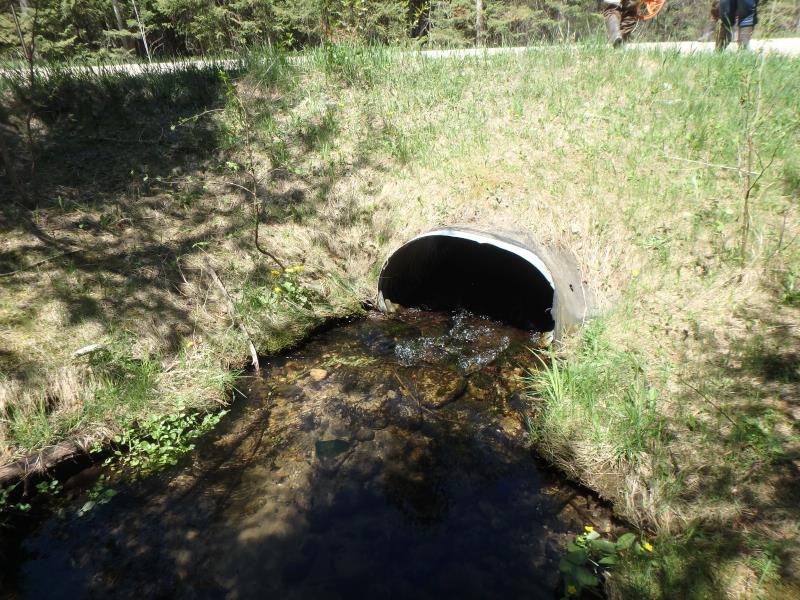
Inlet
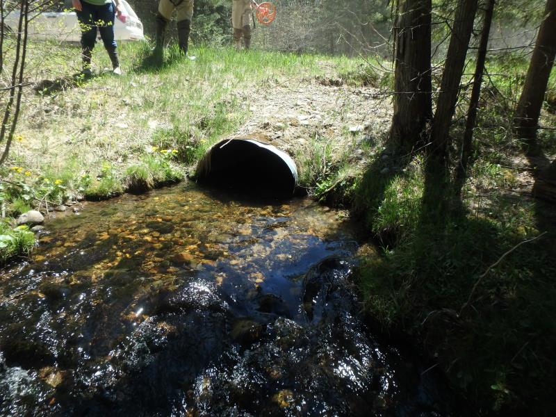
Outlet
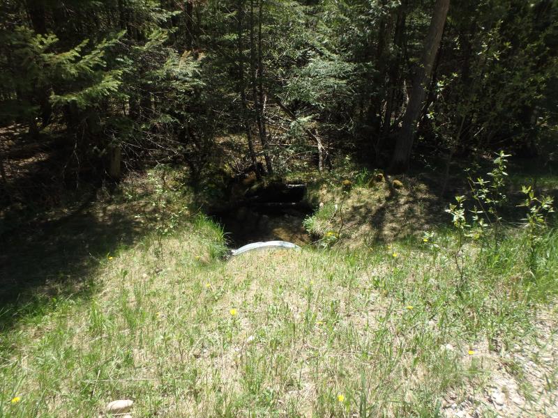
Upstream Conditions
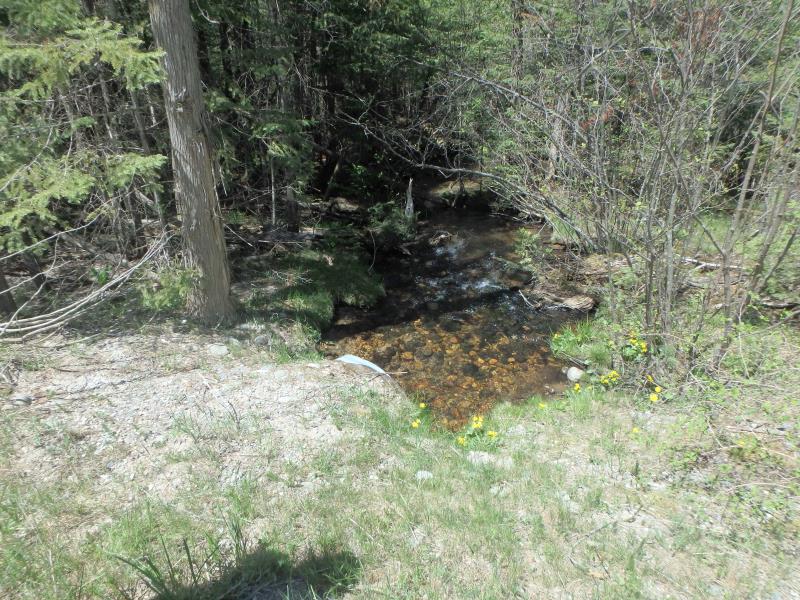
Downstream Conditions
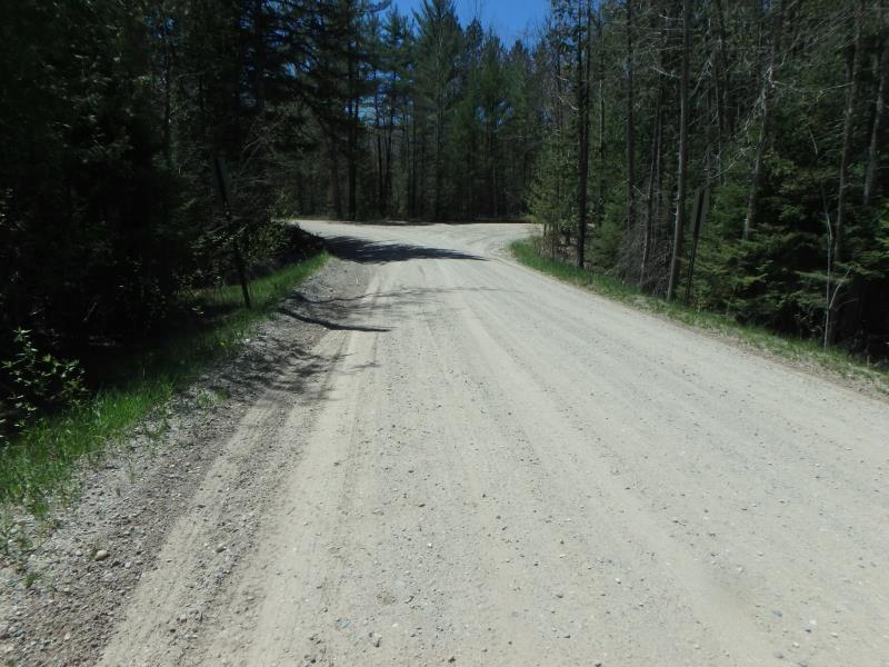
Road Approach - Left
Road Approach - Right
Crossing Information
Type of Crossing: culvert(s)
Number of Structures: 1
Structure Shape: Ellipse
Inlet Type: Projecting
Outlet Type: At Stream Grade
Structure Material: Metal
Structure Substrate: Rock
General Conditions: Good
Structure Interior: corrugated
Dimensions of Structure: Length 51 ft.
, Width 3.5 ft.
, Height 2.5 ft.
Structure is NOT Perched
Structure Inlet
Water Depth: 0.6 ft.
Embedded Depth of Structure: 0 ft.
Water Velocity*: 2.8 ft./sec.
Structure Outlet
Water Depth: 0.9 ft.
Embedded Depth of Structure: 0 ft.
Water Velocity*: 1.1 ft./sec.
*Water Velocities were measured 0.4 ft. below Surface
(with Meter)
Stream Information
Stream Flow: Less than 1/2 Bankfull
Riffle Information
Water Depth: 1.1 ft.
Bankfull Width: 8.7 ft.
Wetted Width: 6.5 ft.
Water Velocity: 1.1 ft./sec.
(Measured with Meter)
Dominant Substrate: Sand
Road Information
Sand
County Road
Road Condition: Fair
Road Width at Culvert: 21 ft.
Location of Low Point: Other
Runoff Path: Roadway
Embankments
Upstream
Fill Depth: 2.6 ft.
Slope: More than 1:2
Downstream
Fill Depth: 2.7 ft.
Slope: More than 1:2
Approaches
Left Approach
Length: 0 ft.
Slope: Less Than 1%
Vegetation: Partial
LS Factor: 0.05
Erosion: 0 tons/year
Right Approach
Length: 595 ft.
Slope: 1% to 5%
Vegetation: Partial
LS Factor: 0.678
Erosion: 2.3338 tons/year
Erosion Information
Total Erosion at Crossing: 2.3408 tons/year
Extent of Erosion: Minor
Erosion is occurring and corrective actions can be installed to address the problem.
Location of Erosion | Erosion Dimensions | Eroded Material | Material Eroded | Total Erosion | ||
facing downstream | Length | Width | Depth | Reaching Stream? | (tons/year) | |
Left Downstream Embankment |
10 ft. |
2 ft. |
0.7 ft. |
yes |
Gravel |
0.007 |
Summary Information
Fish Passability 0.5
A future visit to this site is recommended. POSSIBLE EROSION ISSUE FROM FOOT TRAFFIC
�