Road Stream Crossing Site TBW_TBMO29
Thunder Bay River Watershed, Avery Lake tributary
Shoreline Road
Albert Twp,
Montmorency County
Information collected by:
Site Location
GPS Coordinates: 44.91988
, -84.19933
T29N
R2E
Sec 09
Owned by State
Fish Passability 0.9
Structure is NOT Perched
Total Erosion: 1.7977 tons/year
Severity: Moderate
Year Inventoried: 2017
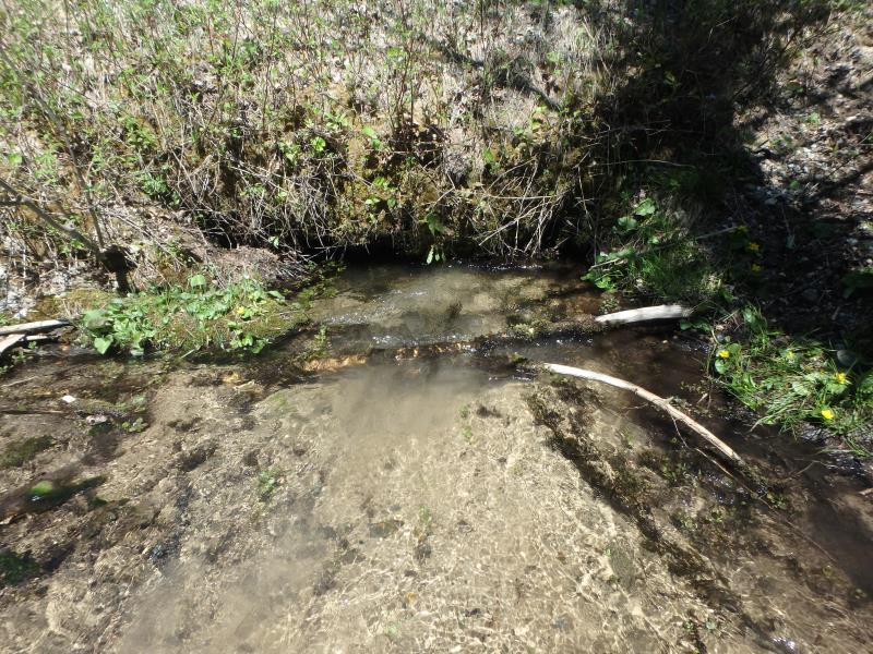
Inlet
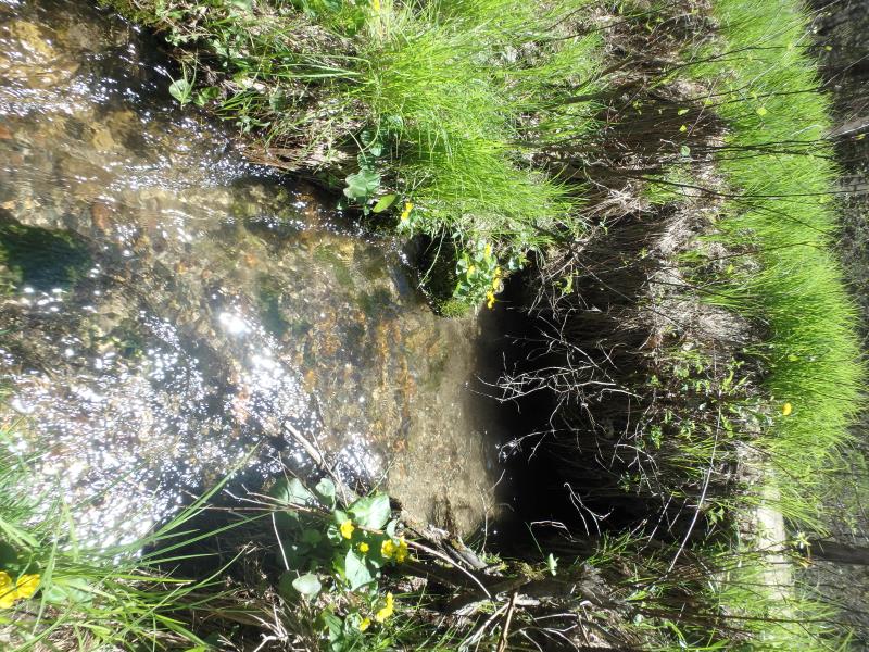
Outlet
Upstream Conditions
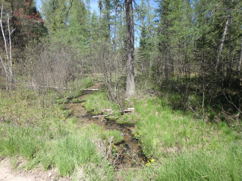
Downstream Conditions
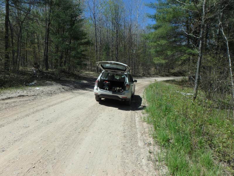
Road Approach - Left
Road Approach - Left
Crossing Information
Type of Crossing: culvert(s)
Number of Structures: 1
Structure Shape: Round
Inlet Type: Other
Outlet Type: At Stream Grade
Structure Material: Metal
Structure Substrate: None
General Conditions: Poor
Structure Interior: corrugated
Dimensions of Structure: Length 15 ft.
, Width 2.4 ft.
, Height 2.4 ft.
Structure is NOT Perched
Structure Inlet
Water Depth: 0.9 ft.
Water Velocity*: 1.3 ft./sec.
Structure Outlet
Water Depth: 1 ft.
Embedded Depth of Structure: 0.1 ft.
Water Velocity*: 1 ft./sec.
*Water Velocities were measured 0.6 ft. below Surface
(with Meter)
Additional Comments
INLET STARTS 2 FEET BEYOND EMBANKMENT
Stream Information
Stream Flow: Less than 1/2 Bankfull
Riffle Information
Water Depth: 0.6 ft.
Bankfull Width: 8.2 ft.
Wetted Width: 7.3 ft.
Water Velocity: 1.1 ft./sec.
(Measured with Meter)
Dominant Substrate: Sand
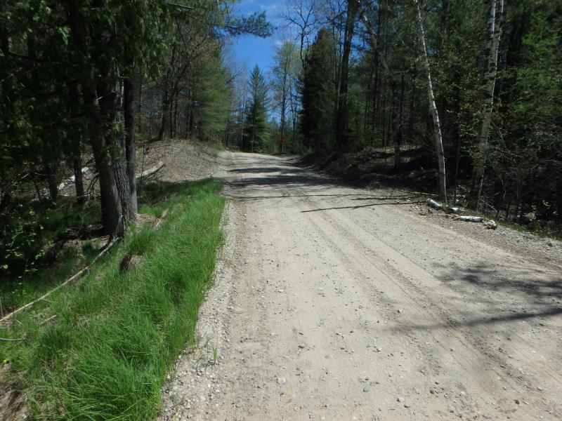
Road Information
Gravel
County Road
Road Condition: Fair
Road Width at Culvert: 14 ft.
Location of Low Point: At Stream
Runoff Path: Roadway
Embankments
Upstream
Fill Depth: 4.2 ft.
Slope: Vertical
Downstream
Fill Depth: 1.4 ft.
Slope: Vertical
Approaches
Left Approach
Length: 724 ft.
Slope: 1% to 5%
Vegetation: Heavy
LS Factor: 0.539
Erosion: 1.5039 tons/year
Right Approach
Length: 181 ft.
Slope: 1% to 5%
Vegetation: Heavy
LS Factor: 0.419
Erosion: 0.2922 tons/year
Erosion Information
Total Erosion at Crossing: 1.7977 tons/year
Extent of Erosion: Minor
Location of Erosion | Erosion Dimensions | Eroded Material | Material Eroded | Total Erosion | ||
facing downstream | Length | Width | Depth | Reaching Stream? | (tons/year) | |
Left Downstream Embankment |
1 ft. |
1 ft. |
1.7 ft. |
yes |
Sandy Loam |
0.0016 |
Summary Information
Fish Passability 0.9
Erosion is an area of concern for this site.
SHORT LENGTH OF CULVERT WITH VEGETATION GROWING OVER IT
A future visit to this site is recommended. EROSION
�