Road Stream Crossing Site TBW_TBMO30
Thunder Bay River Watershed, Avery Lake tributary
Shoreline Road
Albert Twp,
Montmorency County
Information collected by:
Site Location
GPS Coordinates: 44.92569
, -84.20394
T29N
R2E
Sec 09
Owned by Private
State
State
Fish Passability 0
Perch Height: 0.4 ft.
Total Erosion: 1.269 tons/year
Severity: Severe
Year Inventoried: 2017
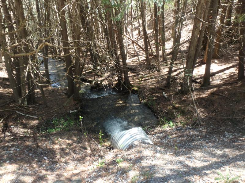
Inlet
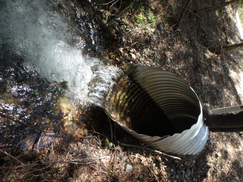
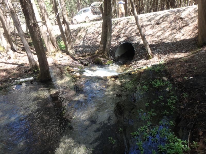
Outlet
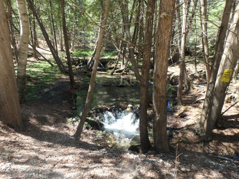
Upstream Conditions
Downstream Conditions
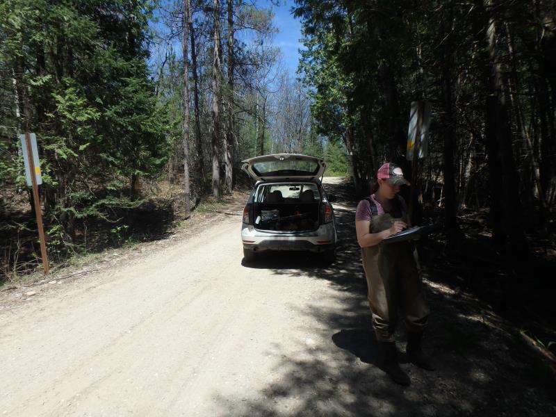
Road Approach - Left
Road Approach - Right
Crossing Information
Type of Crossing: culvert(s)
Number of Structures: 1
Structure Shape: Round
Inlet Type: Mitered
Outlet Type: Freefall into Pool
Structure Material: Metal
Structure Substrate: None
General Conditions: Fair
Structure Interior: corrugated
Dimensions of Structure: Length 37 ft.
, Width 3.1 ft.
, Height 3.1 ft.
Perch Height: 0.4 ft.
Structure Inlet
Water Depth: 0.7 ft.
Embedded Depth of Structure: 0 ft.
Water Velocity*: 4.1 ft./sec.
Structure Outlet
Water Depth: 0.9 ft.
Embedded Depth of Structure: 0 ft.
Water Velocity*: 3.8 ft./sec.
*Water Velocities were measured 0.5 ft. below Surface
(with Meter)
Additional Comments
WOODEN DAM UPSTREAM AND MAN MADE POOLS
Stream Information
Stream Flow: Less than Bankfull
Scour Pool: Length 12 ft.
, Width 10.7 ft.
, Depth 1.5 ft.
Upstream Pond: Length 34 ft.
, Width 24 ft.
Riffle Information
Water Depth: 0.5 ft.
Bankfull Width: 8.4 ft.
Wetted Width: 6.8 ft.
Water Velocity: 2.1 ft./sec.
(Measured with Meter)
Dominant Substrate: Gravel
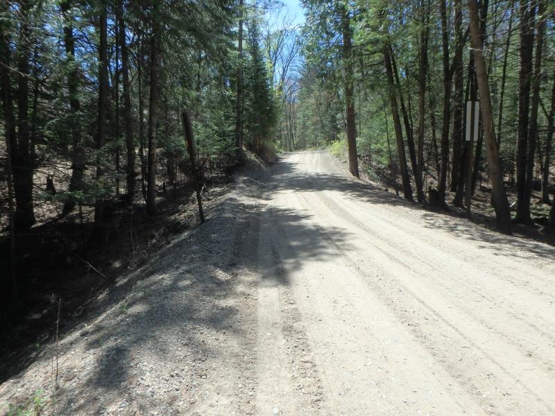
Road Information
Gravel
County Road
Road Condition: Good
Road Width at Culvert: 19 ft.
Location of Low Point: At Stream
Runoff Path: Roadway
Embankments
Upstream
Fill Depth: 3.2 ft.
Slope: 1:2
Downstream
Fill Depth: 3.4 ft.
Slope: 1:2
Approaches
Left Approach
Length: 145 ft.
Slope: 1% to 5%
Vegetation: Partial
LS Factor: 0.435
Erosion: 0.3301 tons/year
Right Approach
Length: 318 ft.
Slope: 1% to 5%
Vegetation: Partial
LS Factor: 0.559
Erosion: 0.9304 tons/year
Erosion Information
Total Erosion at Crossing: 1.269 tons/year
Extent of Erosion: Minor
Location of Erosion | Erosion Dimensions | Eroded Material | Material Eroded | Total Erosion | ||
facing downstream | Length | Width | Depth | Reaching Stream? | (tons/year) | |
Left Downstream Embankment |
7 ft. |
7.5 ft. |
1.2 ft. |
yes |
Gravel |
0.0084 |
Summary Information
Fish Passability 0
Fish Passage is an area of concern for this site.
PERCH, WATERFALLS, AND DAM UPSTREAM
�