Road Stream Crossing Site TBW_TBMO33
Thunder Bay River Watershed, Crooked Creek
Vincent Lane
Briley Twp,
Montmorency County
Information collected by:
Site Location
GPS Coordinates: 44.9877
, -84.14516
T30N
R2E
Sec 13
Owned by Private
Fish Passability 0.9
Structure is NOT Perched
Total Erosion: 1.146 tons/year
Severity: Moderate
Year Inventoried: 2017
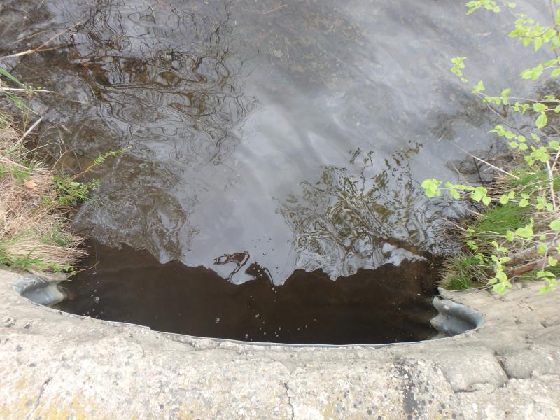
Inlet
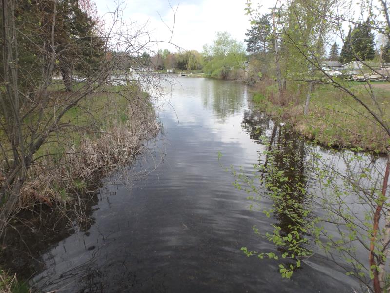
Upstream Conditions
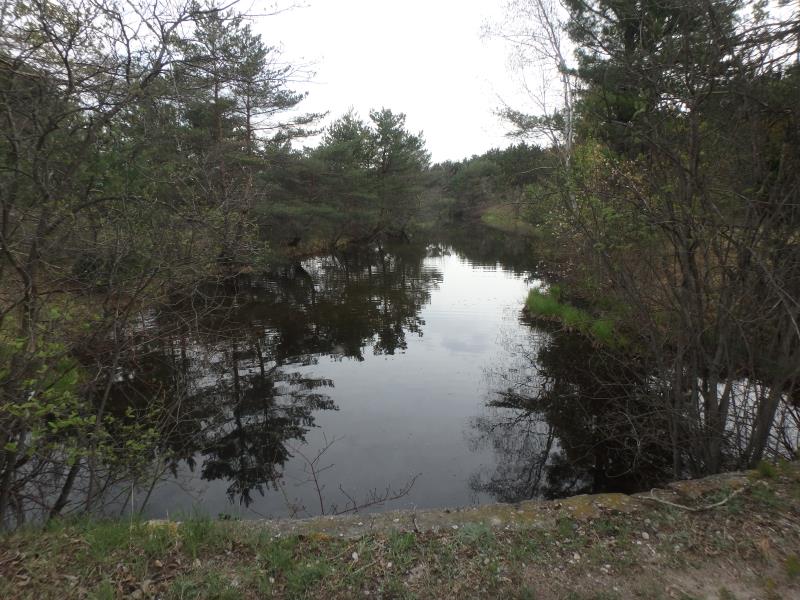
Downstream Conditions
Road Approach - Left
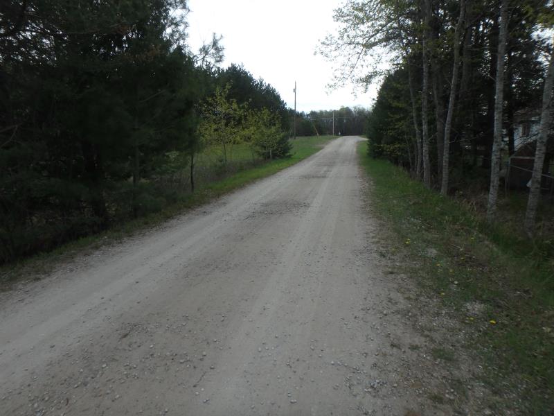
Road Approach - Right
Crossing Information
Type of Crossing: culvert(s)
Number of Structures: 1
Structure Shape: Ellipse
Inlet Type: Headwall
Outlet Type: At Stream Grade
Structure Material: Concrete
Structure Substrate: Sand
General Conditions: Good
Structure Interior: corrugated
Dimensions of Structure: Length 20 ft.
, Width 9 ft.
, Height 7 ft.
Structure is NOT Perched
Structure Inlet
Water Depth: 1 ft.
Embedded Depth of Structure: 0.8 ft.
Water Velocity*: 0 ft./sec.
Structure Outlet
Water Depth: 1.2 ft.
Embedded Depth of Structure: 0.2 ft.
Water Velocity*: 0 ft./sec.
*Water Velocities were measured 0.5 ft. below Surface
(with Meter)
Stream Information
Stream Flow: Less than 1/2 Bankfull
Riffle Information
Water Depth: 3.6 ft.
Bankfull Width: 38 ft.
Wetted Width: 35 ft.
Water Velocity: 0 ft./sec.
(Measured with Meter)
Dominant Substrate: Silt
Road Information
Gravel
Private Road
Road Condition: Fair
Road Width at Culvert: 13 ft.
Location of Low Point: Other
Runoff Path: Roadway
Fill Depth: 0 ft.
Slope: Vertical
Fill Depth: 0 ft.
Slope: Vertical
Approaches
Left Approach
Length: 0 ft.
Slope: Less Than 1%
Vegetation: Partial
LS Factor: 0.05
Erosion: 0 tons/year
Right Approach
Length: 500 ft.
Slope: 1% to 5%
Vegetation: Partial
LS Factor: 0.64
Erosion: 1.146 tons/year
Erosion Information
Total Erosion at Crossing: 1.146 tons/year
Extent of Erosion: Minor
Summary Information
Fish Passability 0.9
These non-native species were observerd at this site: Spotted Knapweed
�