Road Stream Crossing Site TBW_TBMO34
Thunder Bay River Watershed, Thunder Bay River
McMurphy Road
Avery Twp,
Montmorency County
Information collected by:
Site Location
GPS Coordinates: 44.98767
, -84.1451
T30N
R3E
Sec 20
Owned by Private
Fish Passability 0
Structure is NOT Perched
Total Erosion: 3.4566 tons/year
Severity: Severe
Year Inventoried: 2017
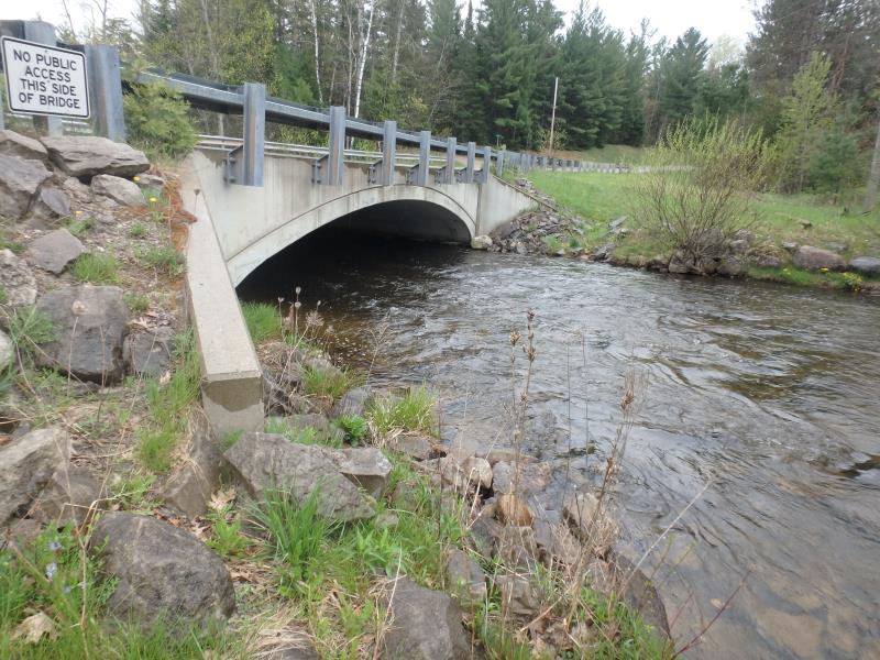
Inlet
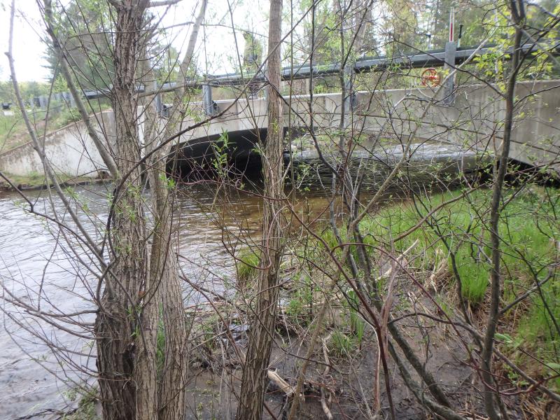
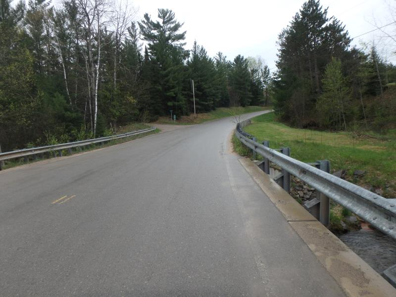
Outlet
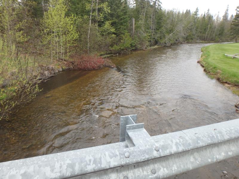
Upstream Conditions
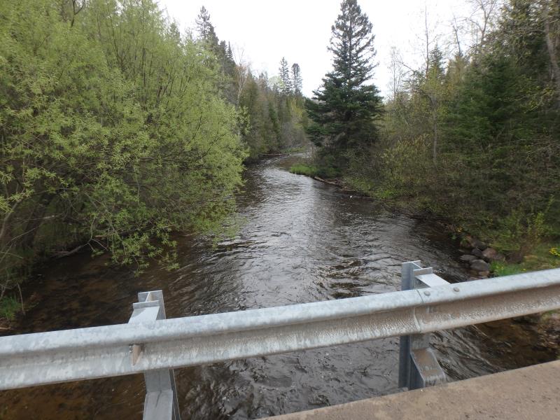
Downstream Conditions
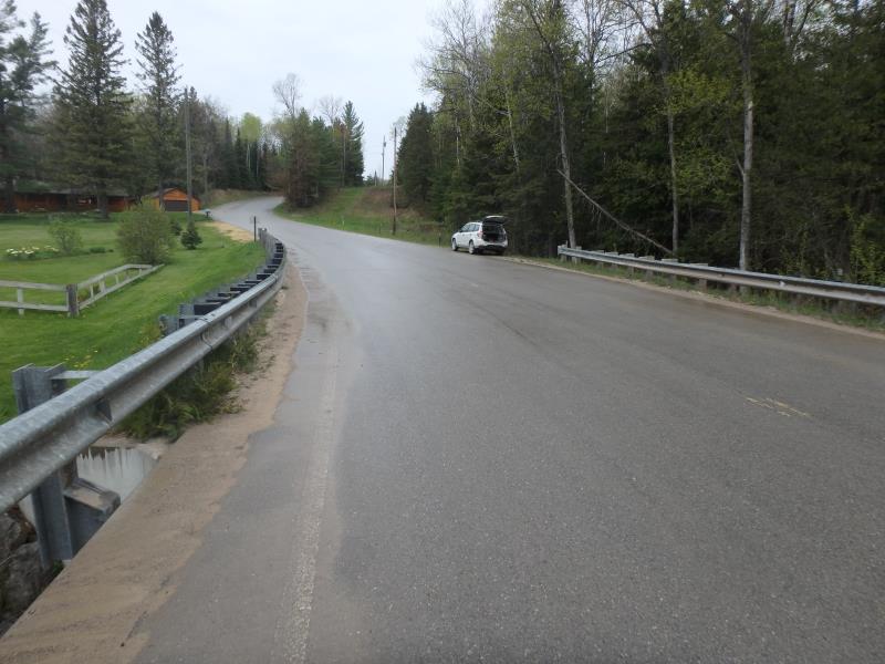
Road Approach - Left
Road Approach - Right
Crossing Information
Type of Crossing: Bridge
Structure Shape: Open Bottom Arch
Inlet Type: Wingwall 10-30 Degree
Outlet Type: At Stream Grade
Structure Material: Concrete
Structure Substrate: Sand
General Conditions: Good
Structure Interior: smooth
Dimensions of Structure: Length 32 ft.
, Width 40 ft.
, Height 10.2 ft.
Structure is NOT Perched
Structure Inlet
Water Depth: 2 ft.
Water Velocity*: 3.6 ft./sec.
Structure Outlet
Water Depth: 3.1 ft.
Water Velocity*: 2 ft./sec.
*Water Velocities were measured 1 ft. below Surface
(with Meter)
Stream Information
Stream Flow: Less than Bankfull
Riffle Information
Water Depth: 1 ft.
Bankfull Width: 67.5 ft.
Wetted Width: 63.5 ft.
Water Velocity: 3.2 ft./sec.
(Measured with Meter)
Dominant Substrate: Cobble
Road Information
Paved
County Road
Road Condition: Good
Road Width at Culvert: 32 ft.
Location of Low Point: At Stream
Runoff Path: Roadway
Fill Depth: 0 ft.
Slope: Vertical
Fill Depth: 0 ft.
Slope: Vertical
Approaches
Left Approach
Length: 675 ft.
Slope: 6% to 10%
Vegetation: Heavy
LS Factor: 1.804
Erosion: 1.288 tons/year
Right Approach
Length: 1000 ft.
Slope: 6% to 10%
Vegetation: Heavy
LS Factor: 2.05
Erosion: 2.1686 tons/year
Erosion Information
Total Erosion at Crossing: 3.4566 tons/year
Extent of Erosion: Stabilized
Summary Information
Fish Passability 0
These non-native species were observerd at this site: Mullein, Spotted Knapweed
�