Road Stream Crossing Site TBW_TBMO36
Thunder Bay River Watershed, Thunder Bay River
Airport Road
Avery Twp,
Montmorency County
Information collected by:
Site Location
GPS Coordinates: 45.00036
, -84.11905
T30N
R3E
Sec 07
Owned by Private
Fish Passability 0.5
Total Erosion: 0.0006 tons/year
Severity: Moderate
Year Inventoried: 2017
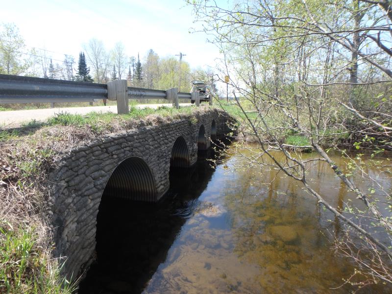
Inlet
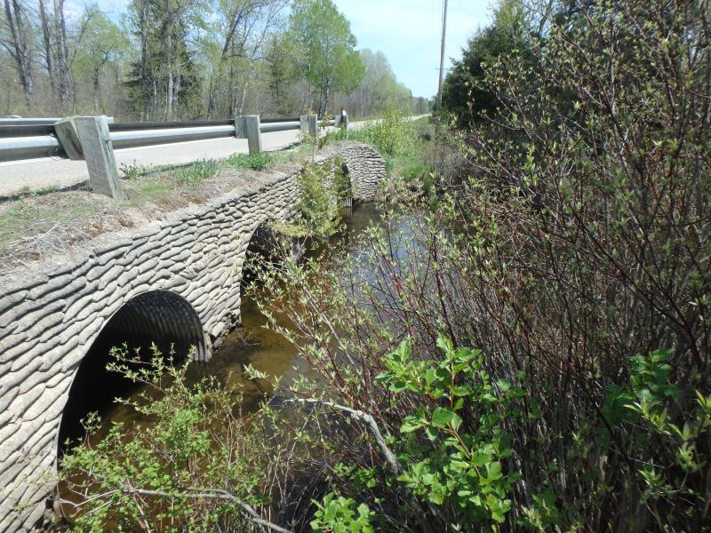
Outlet
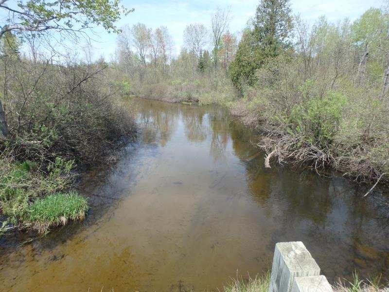
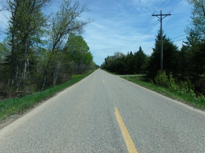
Upstream Conditions
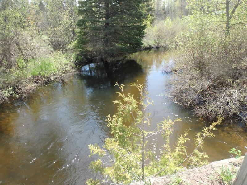
Downstream Conditions
Road Approach - Left
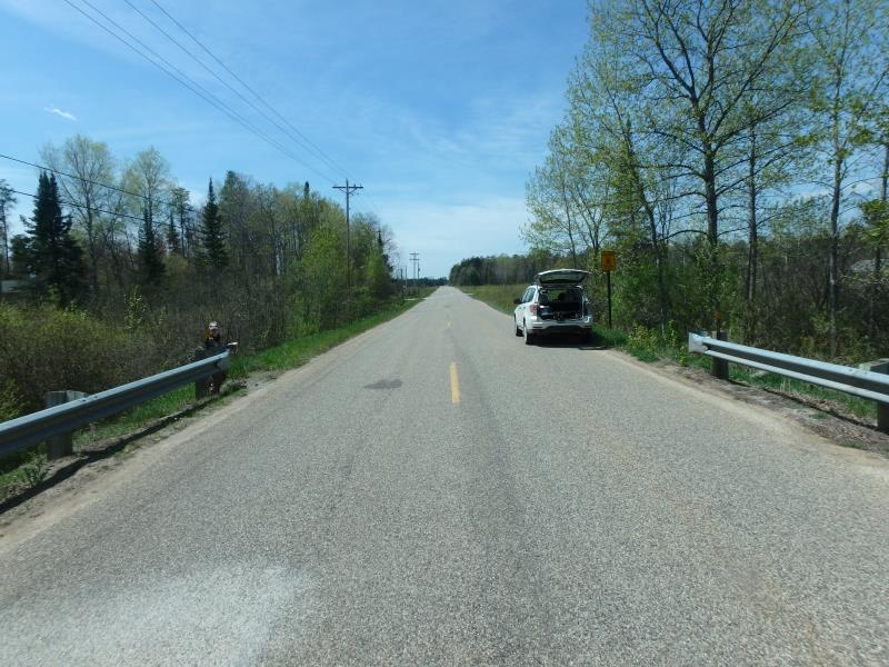
Road Approach - Right
Crossing Information
Type of Crossing: culvert(s)
Number of Structures: 4
Structure Shape: Round
Inlet Type: Headwall
Outlet Type: At Stream Grade
Structure Material: Metal
Structure Substrate: Rock
General Conditions: Good
Multiple Culverts/Spans | ||||
Culvert/Span | Width | Length | Height | Material |
1 |
7 ft. |
31 ft. |
6 ft. |
Metal |
2 |
7 ft. |
31 ft. |
6 ft. |
Metal |
3 |
7 ft. |
31 ft. |
6 ft. |
Metal |
Structure Interior: corrugated
Dimensions of Structure: Length 31 ft.
, Width 7 ft.
, Height 6 ft.
Structure Inlet
Water Depth: 1.6 ft.
Embedded Depth of Structure: 1 ft.
Water Velocity*: 1.9 ft./sec.
Structure Outlet
Water Depth: 2 ft.
Embedded Depth of Structure: 0.2 ft.
Water Velocity*: 2.1 ft./sec.
*Water Velocities were measured 1 ft. below Surface
(with Meter)
Stream Information
Stream Flow: Less than Bankfull
Riffle Information
Water Depth: 4 ft.
Bankfull Width: 30.5 ft.
Wetted Width: 26.5 ft.
Water Velocity: 2.3 ft./sec.
(Measured with Meter)
Dominant Substrate: Sand
Road Information
Paved
County Road
Road Width at Culvert: 25 ft.
Location of Low Point: At Stream
Runoff Path: Roadway
Embankments
Upstream
Fill Depth: 0.4 ft.
Slope: More than 1:2
Downstream
Fill Depth: 0.4 ft.
Slope: More than 1:2
Approaches
Left Approach
Length: 0 ft.
Slope: Less Than 1%
Vegetation: Heavy
LS Factor: 0.05
Erosion: 0 tons/year
Right Approach
Length: 0 ft.
Slope: Less Than 1%
Vegetation: Heavy
LS Factor: 0.05
Erosion: 0 tons/year
Erosion Information
Total Erosion at Crossing: 0.0006 tons/year
Extent of Erosion: Minor
Notes: FOOT TRAFFIC
Location of Erosion | Erosion Dimensions | Eroded Material | Material Eroded | Total Erosion | ||
facing downstream | Length | Width | Depth | Reaching Stream? | (tons/year) | |
Right Downstream Embankment |
1.5 ft. |
6 ft. |
0.4 ft. |
yes |
Gravel |
0.0006 |
Summary Information
Fish Passability 0.5
A future visit to this site is recommended. EROSION ISSUE
These non-native species were observerd at this site: Glossy Buckthorn, Spotted Knapweed
�