Road Stream Crossing Site TBW_TBMO37
Thunder Bay River Watershed, Haymeadow Creek
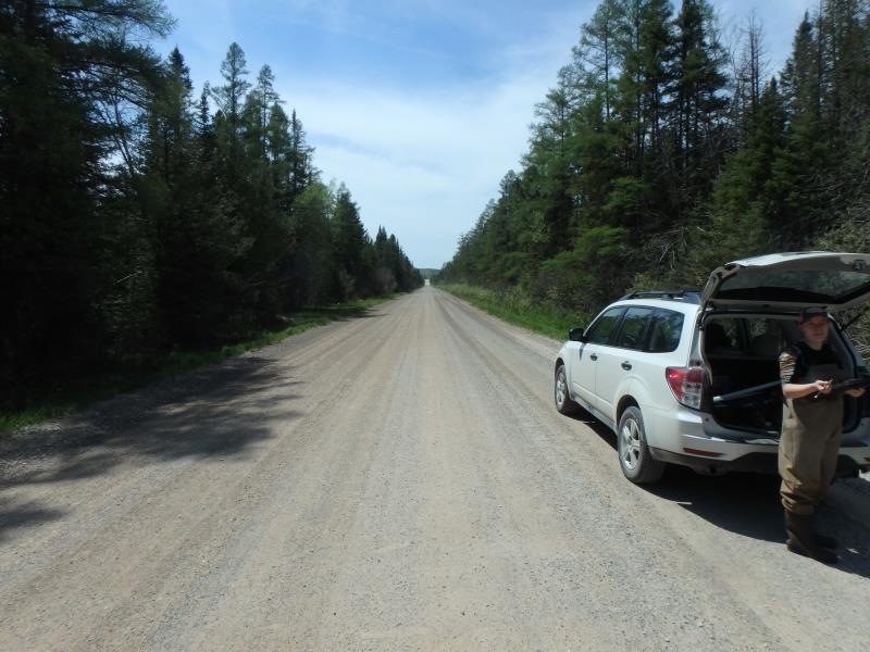
Kellyville Road
Briley Twp,
Montmorency County
Information collected by:
Site Location
GPS Coordinates: 45.02815
, -84.1741
T31N
R2E
Sec 34
Owned by State
Fish Passability 0
Total Erosion: 0 tons/year
Severity: Severe
Year Inventoried: 2017
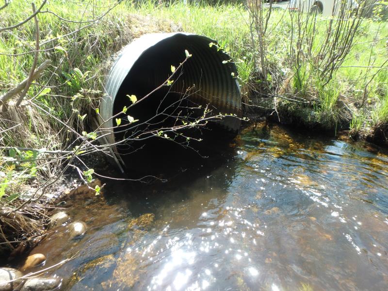
Inlet

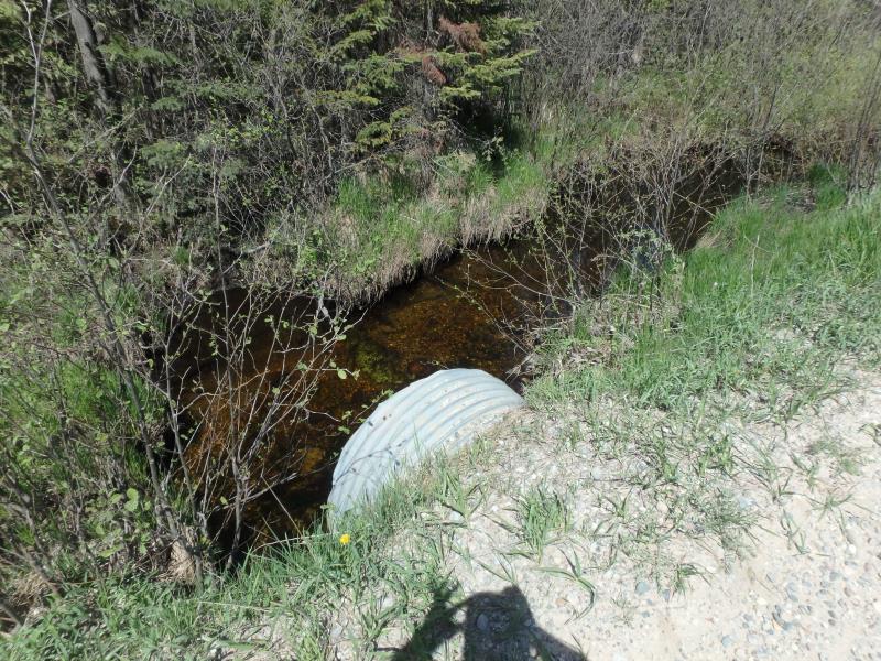
Outlet
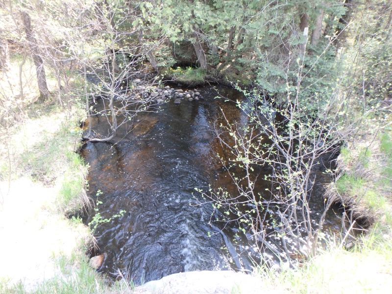
Upstream Conditions
Downstream Conditions
Road Approach - Left
Road Approach - Right
Crossing Information
Type of Crossing: culvert(s)
Number of Structures: 1
Structure Shape: Round
Inlet Type: Projecting
Outlet Type: At Stream Grade
Structure Material: Metal
Structure Substrate: None
General Conditions: Fair
Structure Interior: corrugated
Dimensions of Structure: Length 38 ft.
, Width 4 ft.
, Height 4 ft.
Structure Inlet
Water Depth: 1.1 ft.
Embedded Depth of Structure: 0 ft.
Water Velocity*: 0.9 ft./sec.
Structure Outlet
Water Depth: 0.6 ft.
Embedded Depth of Structure: 0 ft.
Water Velocity*: 3.6 ft./sec.
*Water Velocities were measured 0.5 ft. below Surface
(with Meter)
Stream Information
Stream Flow: Less than 1/2 Bankfull
Scour Pool: Length 22.5 ft.
, Width 17 ft.
, Depth 2.3 ft.
Riffle Information
Water Depth: 0.4 ft.
Bankfull Width: 17 ft.
Wetted Width: 12 ft.
Water Velocity: 1.9 ft./sec.
(Measured with Meter)
Dominant Substrate: Gravel
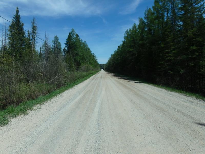
Road Information
Gravel
County Road
Road Condition: Fair
Road Width at Culvert: 25 ft.
Location of Low Point: At Stream
Runoff Path: Ditch
Embankments
Upstream
Fill Depth: 0.7 ft.
Slope: Vertical
Downstream
Fill Depth: 0.2 ft.
Slope: More than 1:2
Approaches
Left Approach
Length: 0 ft.
Slope: Less Than 1%
Vegetation: Heavy
LS Factor: 0.05
Erosion: 0 tons/year
Right Approach
Length: 0 ft.
Slope: Less Than 1%
Vegetation: Heavy
LS Factor: 0.05
Erosion: 0 tons/year
Erosion Information
Total Erosion at Crossing: 0 tons/year
Extent of Erosion: Minor
Summary Information
Fish Passability 0
Fish Passage is an area of concern for this site.
NEARLY PERCHED AND VELOCITY INCREASES GREATLY WITHIN THE CULVERT
�