Road Stream Crossing Site TBW_TBMO40
Thunder Bay River Watershed, Fuller Creek
Soden Rode
Albert Twp,
Montmorency County
Information collected by:
Site Location
GPS Coordinates: 44.86381
, -84.18369
T29N
R2E
Sec 34
Owned by State
Fish Passability 0.9
Structure is NOT Perched
Total Erosion: 11.8197 tons/year
Severity: Severe
Year Inventoried: 2017
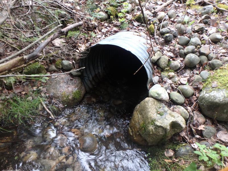
Inlet
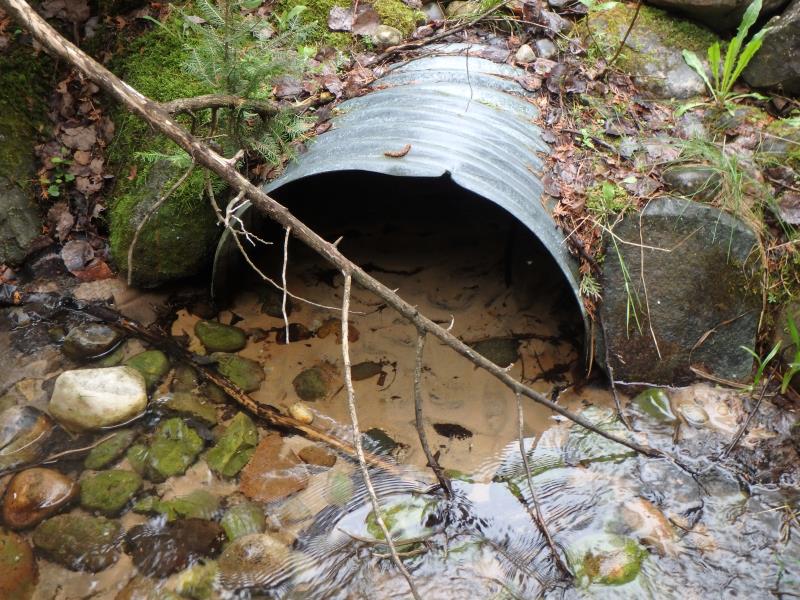
Outlet
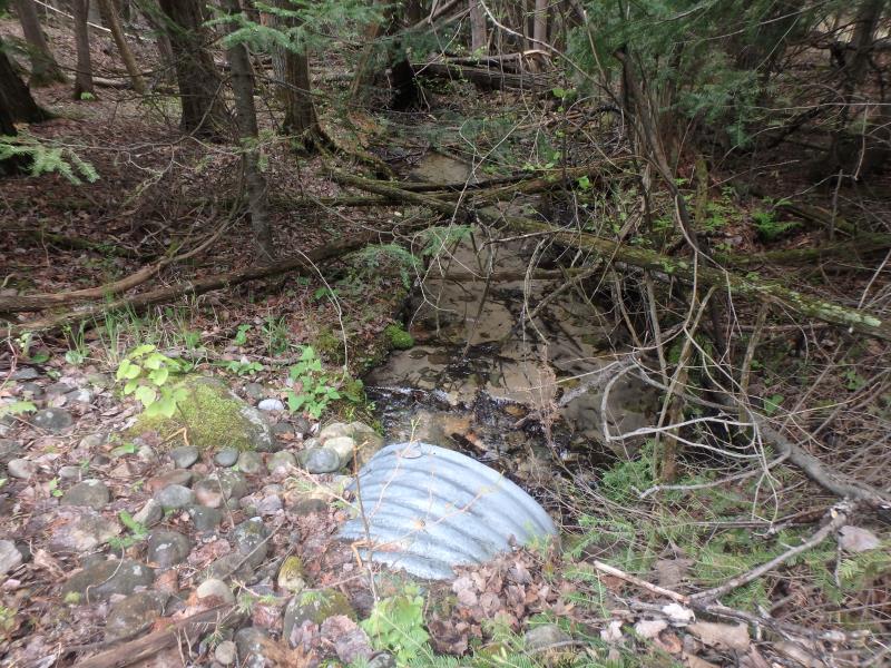
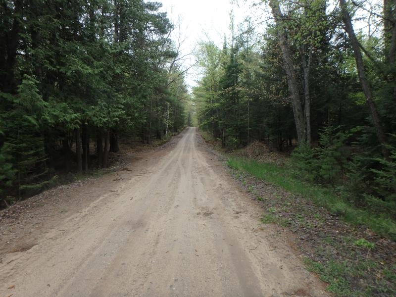
Upstream Conditions
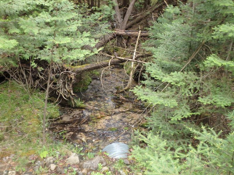
Downstream Conditions
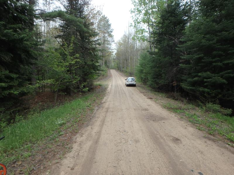
Road Approach - Left
Road Approach - Right
Crossing Information
Type of Crossing: culvert(s)
Number of Structures: 1
Structure Shape: Round
Inlet Type: Projecting
Outlet Type: At Stream Grade
Structure Material: Metal
Structure Substrate: Mixture
General Conditions: Good
Structure Interior: corrugated
Dimensions of Structure: Length 54 ft.
, Width 2.6 ft.
, Height 2.6 ft.
Structure is NOT Perched
Structure Inlet
Water Depth: 0.5 ft.
Embedded Depth of Structure: 0 ft.
Water Velocity*: 1.8 ft./sec.
Structure Outlet
Water Depth: 0.35 ft.
Embedded Depth of Structure: 1 ft.
Water Velocity*: 0.6 ft./sec.
*Water Velocities were measured 0.3 ft. below Surface
(with Meter)
Additional Comments
Was not on map as a crossing
Stream Information
Stream Flow: Less than 1/2 Bankfull
Riffle Information
Water Depth: 0.4 ft.
Bankfull Width: 12.5 ft.
Wetted Width: 7 ft.
Water Velocity: 1 ft./sec.
(Measured with Meter)
Dominant Substrate: Sand
Road Information
Sand
County Road
Road Condition: Fair
Road Width at Culvert: 16 ft.
Location of Low Point: At Stream
Runoff Path: Roadway
Embankments
Upstream
Fill Depth: 4.2 ft.
Slope: More than 1:2
Downstream
Fill Depth: 5 ft.
Slope: More than 1:2
Approaches
Left Approach
Length: 410 ft.
Slope: 6% to 10%
Vegetation: Heavy
LS Factor: 1.541
Erosion: 2.7839 tons/year
Right Approach
Length: 1000 ft.
Slope: 6% to 10%
Vegetation: Heavy
LS Factor: 2.05
Erosion: 9.0358 tons/year
Erosion Information
Total Erosion at Crossing: 11.8197 tons/year
Extent of Erosion: Minor
Summary Information
Fish Passability 0.9
A future visit to this site is recommended. Not on map as a rsx.
�