Road Stream Crossing Site TBW_TBMO41
Thunder Bay River Watershed, Fuller Creek tributary
Mount Tom Road
Albert Twp,
Montmorency County
Information collected by:
Site Location
GPS Coordinates: 44.86188
, -84.18089
T29n
R2E
Sec 34
Owned by State
Fish Passability 0.9
Structure is NOT Perched
Total Erosion: 1.3665 tons/year
Severity: Moderate
Year Inventoried: 2017
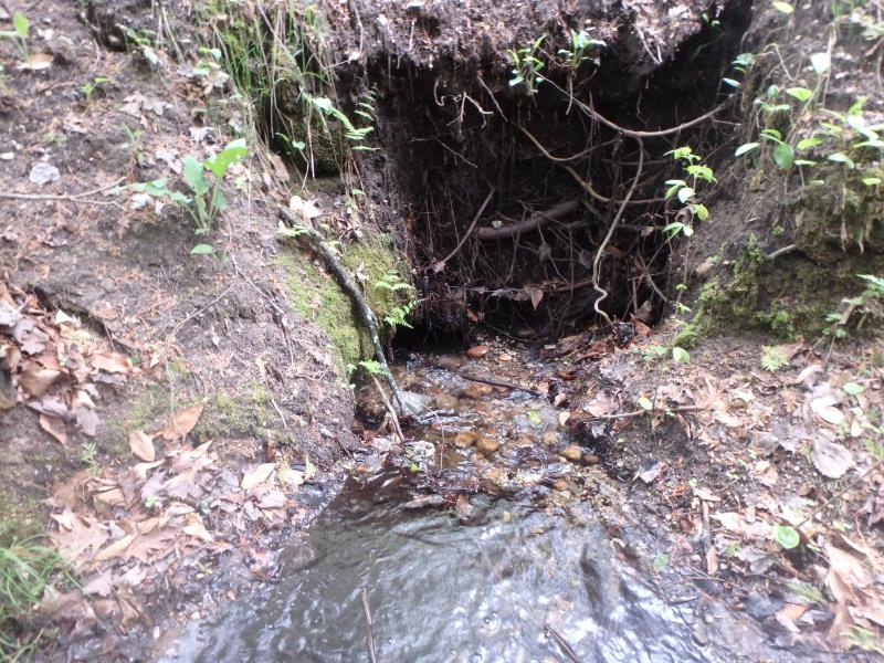
Inlet
Outlet
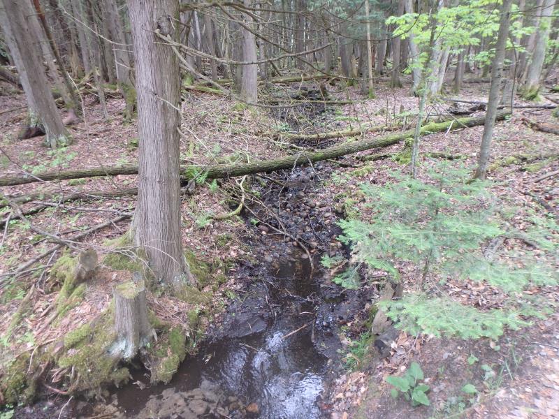
Upstream Conditions
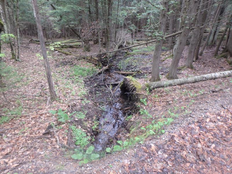
Downstream Conditions
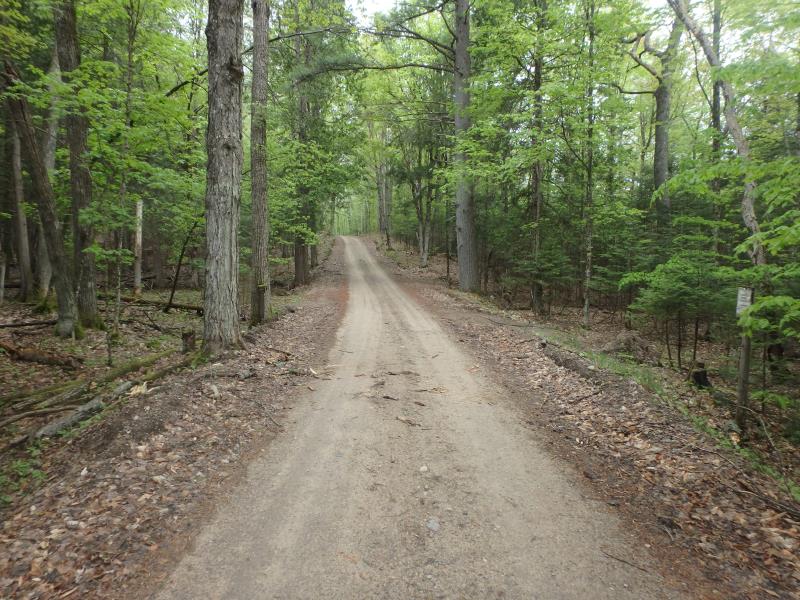
Road Approach - Left
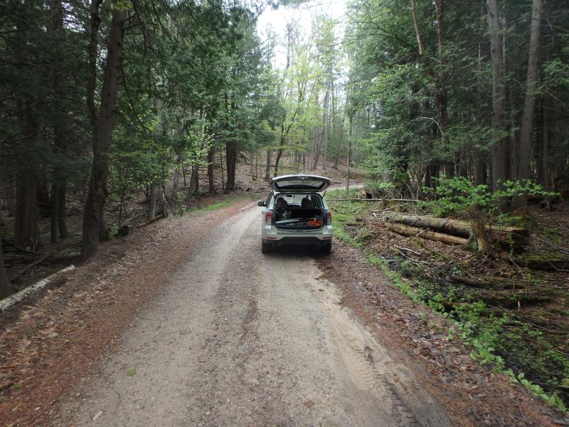
Road Approach - Right
Crossing Information
Type of Crossing: culvert(s)
Number of Structures: 1
Structure Shape: Round
Inlet Type: Projecting
Outlet Type: At Stream Grade
Structure Material: Metal
Structure Substrate: Mixture
General Conditions: Poor
Structure Interior: corrugated
Dimensions of Structure: Length 15 ft.
, Width 1.5 ft.
, Height 1.5 ft.
Percentage Plugged:
Inlet: 51% to 75%
Outlet: 76% to 100%
Structure is NOT Perched
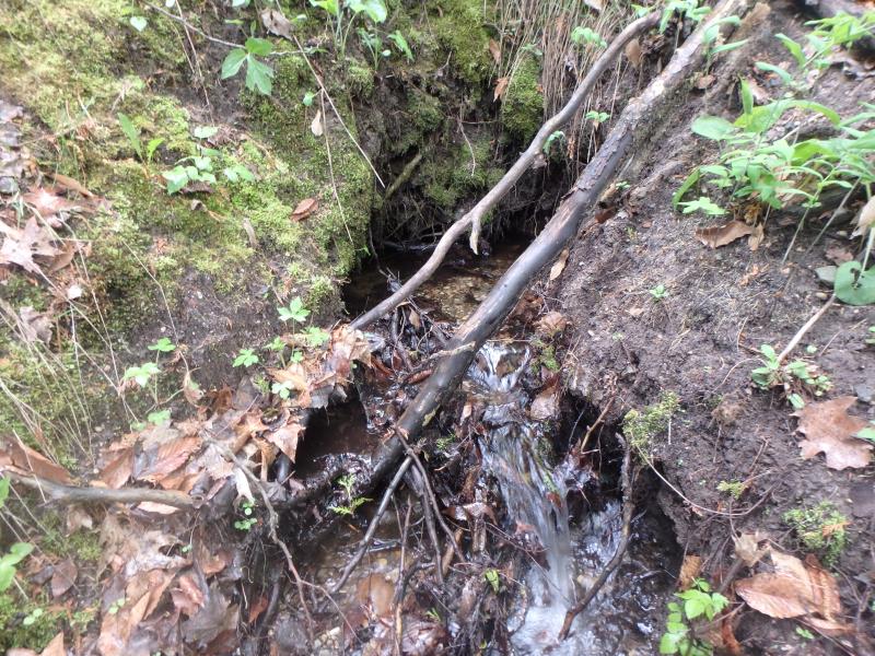
Structure Inlet
Water Depth: 0.2 ft.
Embedded Depth of Structure: 0.9 ft.
Water Velocity*: 1.2 ft./sec.
Structure Outlet
Water Depth: 0.35 ft.
Embedded Depth of Structure: 1.5 ft.
Water Velocity*: 0.3 ft./sec.
*Water Velocities were measured at the Surface
(with Meter)
Stream Information
Stream Flow: Less than 1/2 Bankfull
Riffle Information
Water Depth: 0.5 ft.
Bankfull Width: 7 ft.
Wetted Width: 4 ft.
Water Velocity: 1 ft./sec.
(Measured with Meter)
Dominant Substrate: Sand
Road Information
Sand
County Road
Road Condition: Fair
Road Width at Culvert: 11 ft.
Location of Low Point: At Stream
Runoff Path: Ditch
Embankments
Upstream
Fill Depth: 4.2 ft.
Slope: Vertical
Downstream
Fill Depth: 5.6 ft.
Slope: Vertical
Approaches
Left Approach
Length: 380 ft.
Slope: 1% to 5%
Vegetation: Heavy
LS Factor: 0.476
Erosion: 0.5481 tons/year
Right Approach
Length: 505 ft.
Slope: 1% to 5%
Vegetation: Heavy
LS Factor: 0.501
Erosion: 0.7667 tons/year
Erosion Information
Total Erosion at Crossing: 1.3665 tons/year
Extent of Erosion: Moderate
Location of Erosion | Erosion Dimensions | Eroded Material | Material Eroded | Total Erosion | ||
facing downstream | Length | Width | Depth | Reaching Stream? | (tons/year) | |
Left Upstream Streambank |
2 ft. |
4.2 ft. |
4.2 ft. |
yes |
Loam |
0.0517 |
Summary Information
Fish Passability 0.9
Erosion is an area of concern for this site.
Plugged outlet and eroding embankments
�