Road Stream Crossing Site TBW_TBMO42
Thunder Bay River Watershed, Hunt Creek
Fish Lab Road
Albert Twp,
Montmorency County
Information collected by:
Site Location
GPS Coordinates: 44.86196
, -84.18095
T29N
R2E
Sec 25
Owned by State
Fish Passability 0.9
Structure is NOT Perched
Total Erosion: 5.6529 tons/year
Severity: Severe
Year Inventoried: 2017
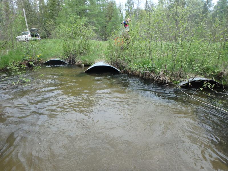
Inlet
Outlet

Upstream Conditions
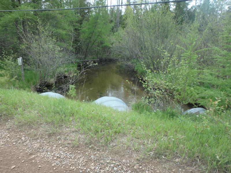
Downstream Conditions
Road Approach - Left
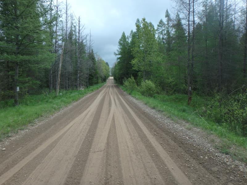
Road Approach - Right
Crossing Information
Type of Crossing: culvert(s)
Number of Structures: 3
Structure Shape: Ellipse
Inlet Type: Projecting
Outlet Type: At Stream Grade
Structure Material: Metal
Structure Substrate: Sand
General Conditions: Good
Multiple Culverts/Spans | ||||
Culvert/Span | Width | Length | Height | Material |
1 |
5.7 ft. |
53 ft. |
4.1 ft. |
Metal |
2 |
5.7 ft. |
53 ft. |
4.1 ft. |
Metal |
3 |
5.7 ft. |
53 ft. |
4.1 ft. |
Metal |
Structure Interior: corrugated
Dimensions of Structure: Length 53 ft.
, Width 5.7 ft.
, Height 4.1 ft.
Structure is NOT Perched
Structure Inlet
Water Depth: 2.7 ft.
Embedded Depth of Structure: 0.5 ft.
Water Velocity*: 1.5 ft./sec.
Structure Outlet
Water Depth: 2.1 ft.
Embedded Depth of Structure: 0 ft.
Water Velocity*: 1.8 ft./sec.
*Water Velocities were measured 1 ft. below Surface
(with Meter)
Stream Information
Stream Flow: Less than Bankfull
Riffle Information
Water Depth: 2.15 ft.
Bankfull Width: 24 ft.
Wetted Width: 20.7 ft.
Water Velocity: 1.7 ft./sec.
(Measured with Meter)
Dominant Substrate: Sand
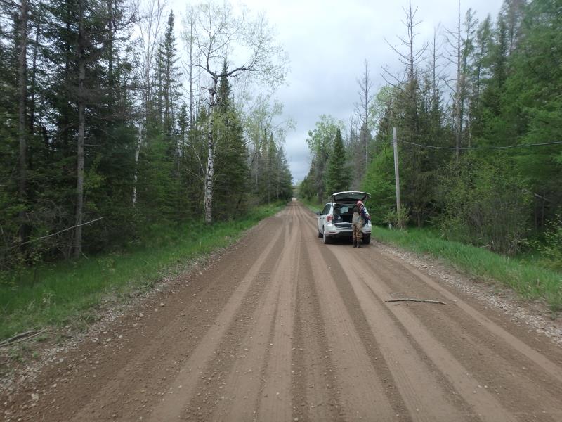
Road Information
Gravel
County Road
Road Condition: Good
Road Width at Culvert: 18 ft.
Location of Low Point: At Stream
Runoff Path: Roadway
Embankments
Upstream
Fill Depth: 2.2 ft.
Slope: More than 1:2
Downstream
Fill Depth: 1.7 ft.
Slope: More than 1:2
Approaches
Left Approach
Length: 1000 ft.
Slope: 1% to 5%
Vegetation: Heavy
LS Factor: 0.57
Erosion: 2.8264 tons/year
Right Approach
Length: 1000 ft.
Slope: 1% to 5%
Vegetation: Heavy
LS Factor: 0.57
Erosion: 2.8264 tons/year
Erosion Information
Total Erosion at Crossing: 5.6529 tons/year
Extent of Erosion: Minor
Erosion is occurring and corrective actions can be installed to address the problem.
Summary Information
Fish Passability 0.9
A future visit to this site is recommended. Culverts were close to being fully submerged
�