Road Stream Crossing Site TBW_TBMO46
Thunder Bay River Watershed, Fuller Creek
Halberg Road
Albert Twp,
Montmorency County
Information collected by:
Site Location
GPS Coordinates: 44.86299
, -84.15829
T29N
R2E
Sec 35
Owned by State
Fish Passability 0.5
Structure is NOT Perched
Total Erosion: 0.5068 tons/year
Severity: Moderate
Year Inventoried: 2017
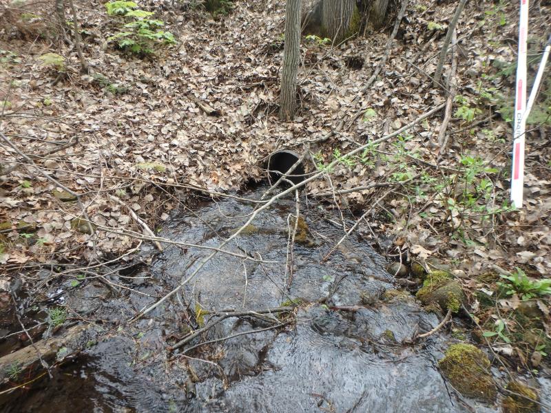
Inlet
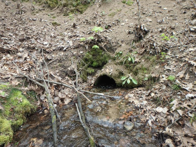
Outlet
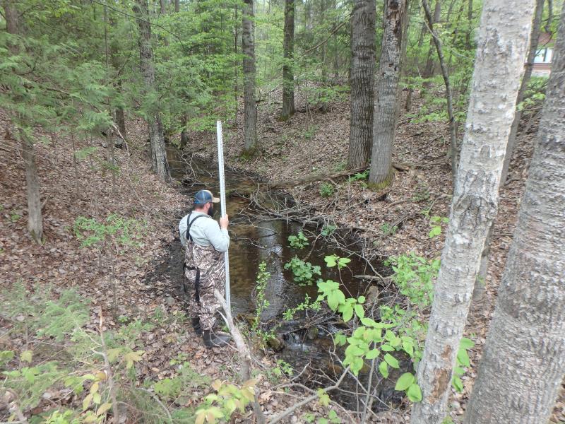
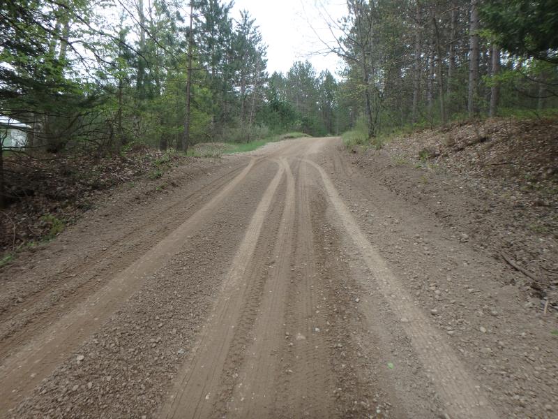
Upstream Conditions
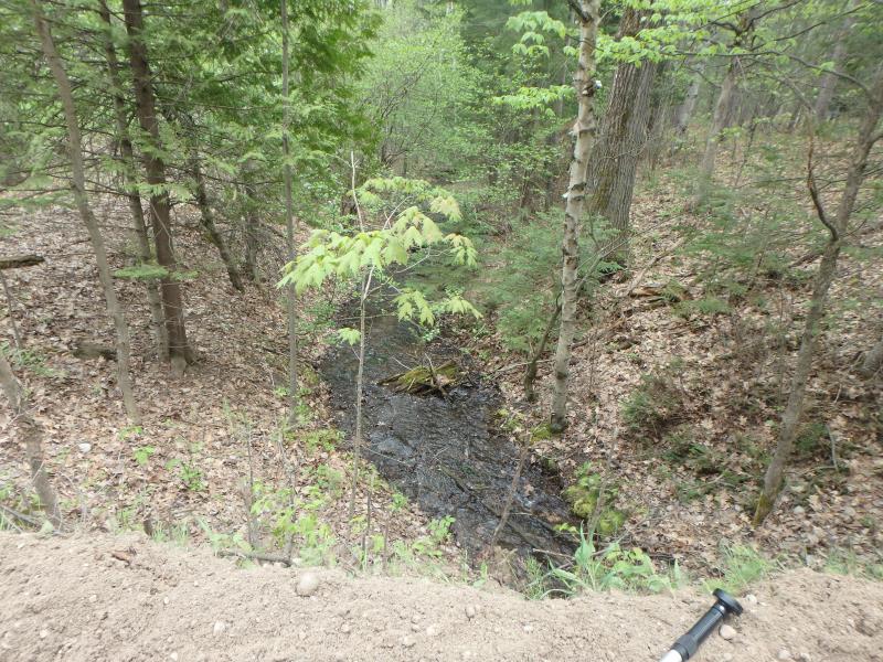
Downstream Conditions
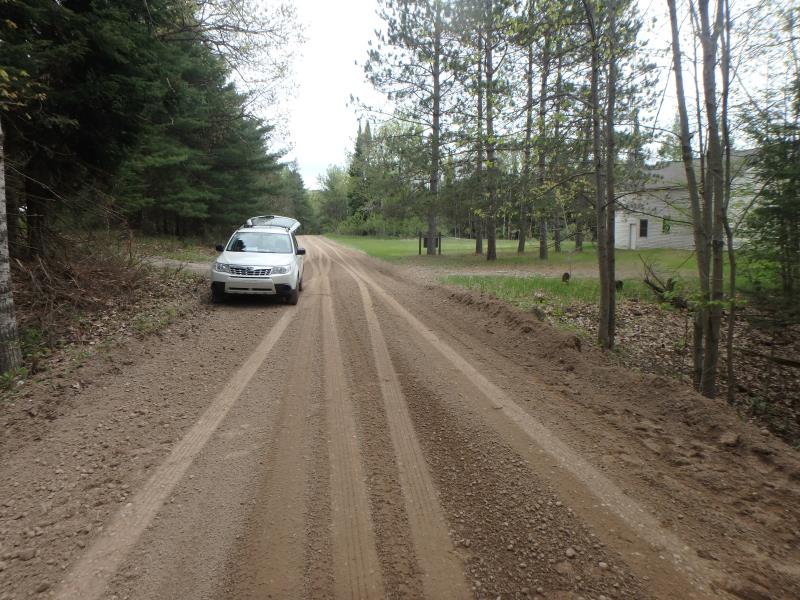
Road Approach - Left
Road Approach - Right
Crossing Information
Type of Crossing: culvert(s)
Number of Structures: 1
Structure Shape: Round
Inlet Type: Projecting
Outlet Type: At Stream Grade
Structure Material: Metal
Structure Substrate: None
General Conditions: Fair
Structure Interior: corrugated
Dimensions of Structure: Length 25 ft.
, Width 1.3 ft.
, Height 1.3 ft.
Percentage Plugged:
Outlet: 1% to 25%
Structure is NOT Perched
Structure Inlet
Water Depth: 0.3 ft.
Embedded Depth of Structure: 0 ft.
Water Velocity*: 2.7 ft./sec.
Structure Outlet
Water Depth: 0.6 ft.
Embedded Depth of Structure: 0 ft.
Water Velocity*: 1 ft./sec.
*Water Velocities were measured 0.4 ft. below Surface
(with Meter)
Stream Information
Stream Flow: Less than 1/2 Bankfull
Riffle Information
Water Depth: 0.2 ft.
Bankfull Width: 8 ft.
Wetted Width: 4.1 ft.
Water Velocity: 1.7 ft./sec.
(Measured with Meter)
Dominant Substrate: Gravel
Road Information
Gravel
County Road
Road Condition: Good
Road Width at Culvert: 15 ft.
Location of Low Point: Other
Runoff Path: Roadway
Embankments
Upstream
Fill Depth: 5.2 ft.
Slope: Vertical
Downstream
Fill Depth: 7.3 ft.
Slope: Vertical
Approaches
Left Approach
Length: 0 ft.
Slope: Less Than 1%
Vegetation: None
LS Factor: 0.05
Erosion: 0 tons/year
Right Approach
Length: 210 ft.
Slope: 1% to 5%
Vegetation: None
LS Factor: 0.584
Erosion: 0.5068 tons/year
Erosion Information
Total Erosion at Crossing: 0.5068 tons/year
Extent of Erosion: Minor
Notes: SOIL ON EMBANKMENTS IS EXTREMELY LOOSE
Summary Information
Fish Passability 0.5
Fish Passage is an area of concern for this site.
�