Road Stream Crossing Site TBW_TBMO47
Thunder Bay River Watershed, Crooked Creek
S Airport Road
Avery Twp,
Montmorency County
Information collected by:
Site Location
GPS Coordinates: 44.98839
, -84.1327
T30N
R3E
Sec 18
Owned by Private
Fish Passability 1
Structure is NOT Perched
Total Erosion: 1.0552 tons/year
Severity: Minor
Year Inventoried: 2017
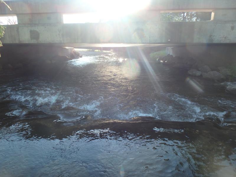
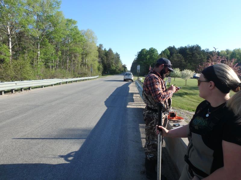
Inlet
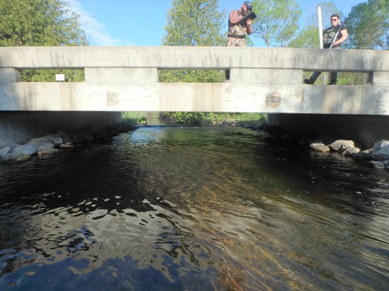
Outlet
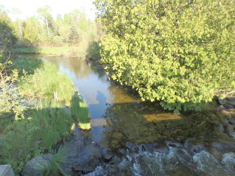
Upstream Conditions
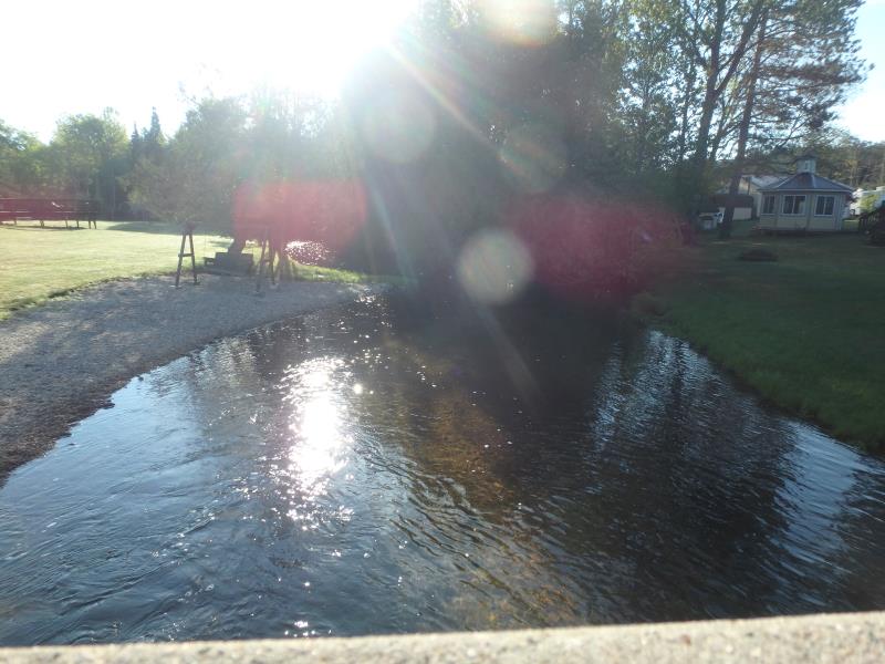
Downstream Conditions
Road Approach - Left
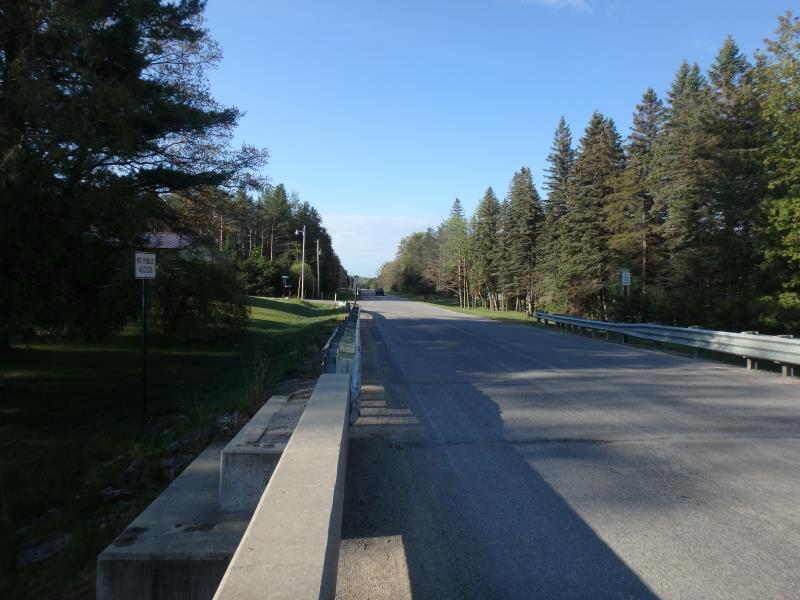
Road Approach - Right
Crossing Information
Type of Crossing: Bridge
Structure Shape: Open Bottom Square/Rectangle
Inlet Type: Projecting
Outlet Type: At Stream Grade
Structure Material: Concrete
Structure Substrate: Sand
General Conditions: Good
Dimensions of Structure: Length 30 ft.
, Width 32 ft.
, Height 7.4 ft.
Structure is NOT Perched
Structure Inlet
Water Depth: 2.3 ft.
Embedded Depth of Structure: 0 ft.
Water Velocity*: 0.4 ft./sec.
Structure Outlet
Water Depth: 3.7 ft.
Embedded Depth of Structure: 0 ft.
Water Velocity*: 0.9 ft./sec.
*Water Velocities were measured 1 ft. below Surface
(with Meter)
Additional Comments
ROCK PILE UPSTREAM
Stream Information
Stream Flow: Less than Bankfull
Riffle Information
Water Depth: 1.7 ft.
Bankfull Width: 33 ft.
Wetted Width: 30 ft.
Water Velocity: 0.8 ft./sec.
(Measured with Meter)
Dominant Substrate: Sand
Road Information
Paved
County Road
Road Condition: Good
Road Width at Culvert: 28 ft.
Location of Low Point: At Stream
Runoff Path: Ditch
Fill Depth: 0 ft.
Slope: Vertical
Fill Depth: 0 ft.
Slope: Vertical
Approaches
Left Approach
Length: 1000 ft.
Slope: 1% to 5%
Vegetation: Heavy
LS Factor: 0.57
Erosion: 0.5276 tons/year
Right Approach
Length: 1000 ft.
Slope: 1% to 5%
Vegetation: Heavy
LS Factor: 0.57
Erosion: 0.5276 tons/year
Erosion Information
Total Erosion at Crossing: 1.0552 tons/year
Extent of Erosion: Stabilized
Summary Information
Fish Passability 1
�