Road Stream Crossing Site TBW_TBMO51
Thunder Bay River Watershed, Hunt Creek
County Road 612
Loud Twp,
Montmorency County
Information collected by:
Site Location
GPS Coordinates: 44.90207
, -84.10353
T29N
R3E
Sec 17
Owned by Private
Fish Passability 0
Structure is NOT Perched
Total Erosion: 0.7588 tons/year
Severity: Severe
Year Inventoried: 2017
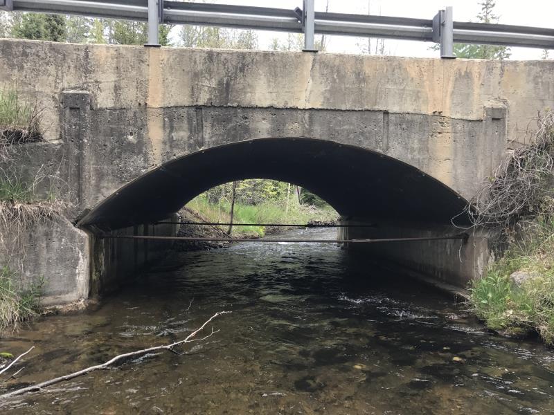
Inlet
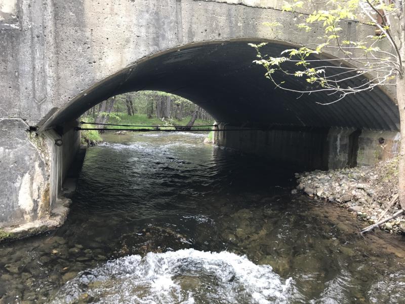
Outlet
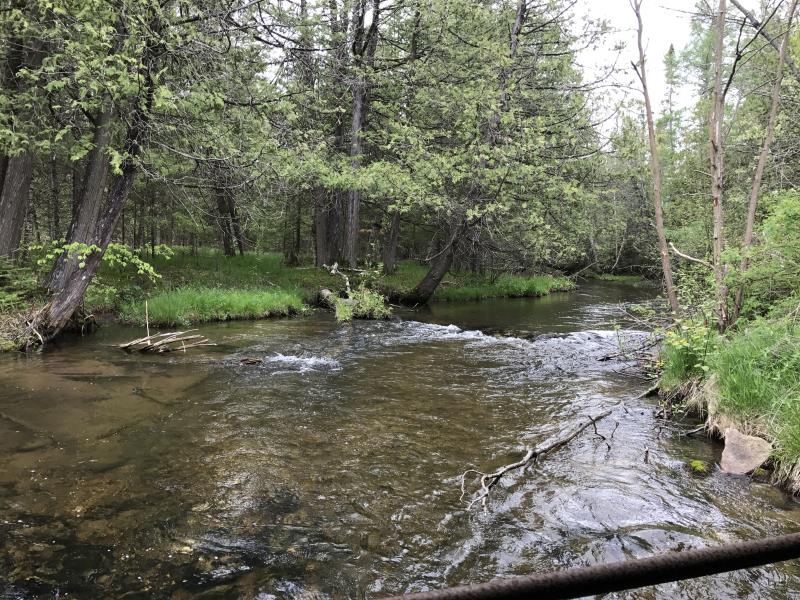
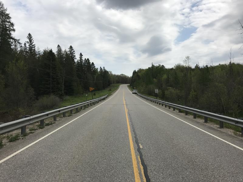
Upstream Conditions
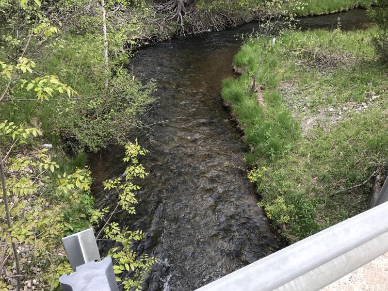
Downstream Conditions
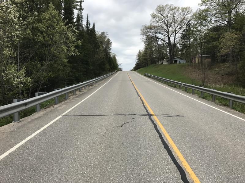
Road Approach - Left
Road Approach - Right
Crossing Information
Type of Crossing: Bridge
Structure Shape: Open Bottom Arch
Inlet Type: Wingwall 10-30 Degree
Outlet Type: At Stream Grade
Structure Material: Concrete
Structure Substrate: Rock
General Conditions: Good
Structure Interior: smooth
Dimensions of Structure: Length 31 ft.
, Width 15 ft.
, Height 8.8 ft.
Structure is NOT Perched
Structure Inlet
Water Depth: 1.7 ft.
Embedded Depth of Structure: 0 ft.
Water Velocity*: 4.5 ft./sec.
Structure Outlet
Water Depth: 1.3 ft.
Embedded Depth of Structure: 0 ft.
Water Velocity*: 3.1 ft./sec.
*Water Velocities were measured 1 ft. below Surface
(with Meter)
Stream Information
Stream Flow: Less than 1/2 Bankfull
Riffle Information
Water Depth: 0.8 ft.
Bankfull Width: 39 ft.
Wetted Width: 25 ft.
Water Velocity: 2.6 ft./sec.
(Measured with Meter)
Dominant Substrate: Gravel
Road Information
Paved
County Road
Road Condition: Good
Road Width at Culvert: 27 ft.
Location of Low Point: Other
Runoff Path: Ditch
Fill Depth: 0 ft.
Slope: Vertical
Fill Depth: 0 ft.
Slope: Vertical
Approaches
Left Approach
Length: 515 ft.
Slope: 6% to 10%
Vegetation: Heavy
LS Factor: 1.651
Erosion: 0.7588 tons/year
Right Approach
Length: 0 ft.
Slope: Less Than 1%
Vegetation: Heavy
LS Factor: 0.05
Erosion: 0 tons/year
Erosion Information
Total Erosion at Crossing: 0.7588 tons/year
Extent of Erosion: Minor
Summary Information
Fish Passability 0
Fish Passage is an area of concern for this site.
VELOCITY
These non-native species were observerd at this site: Mullein
�