Road Stream Crossing Site TBW_TBMO53
Thunder Bay River Watershed, Unnamed
County Road 612
Loud Twp,
Montmorency County
Information collected by:
Site Location
GPS Coordinates: 44.89916
, -84.04678
T29N
R3E
Sec 14
Owned by Private
State
State
Fish Passability 0.9
Structure is NOT Perched
Total Erosion: 0.4638 tons/year
Severity: Moderate
Year Inventoried: 2017
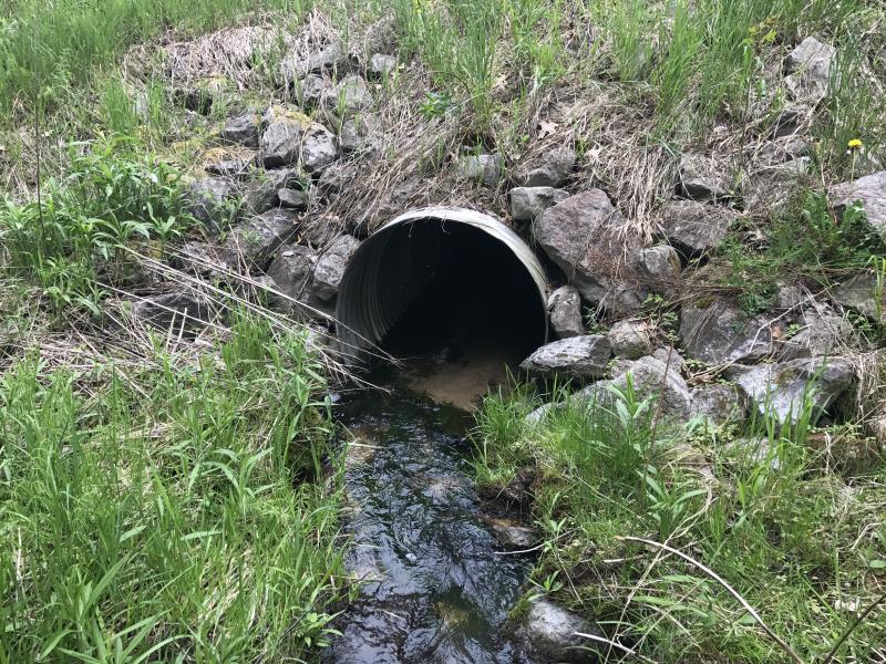
Inlet
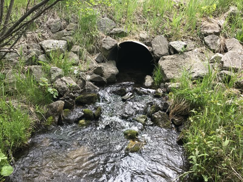
Outlet
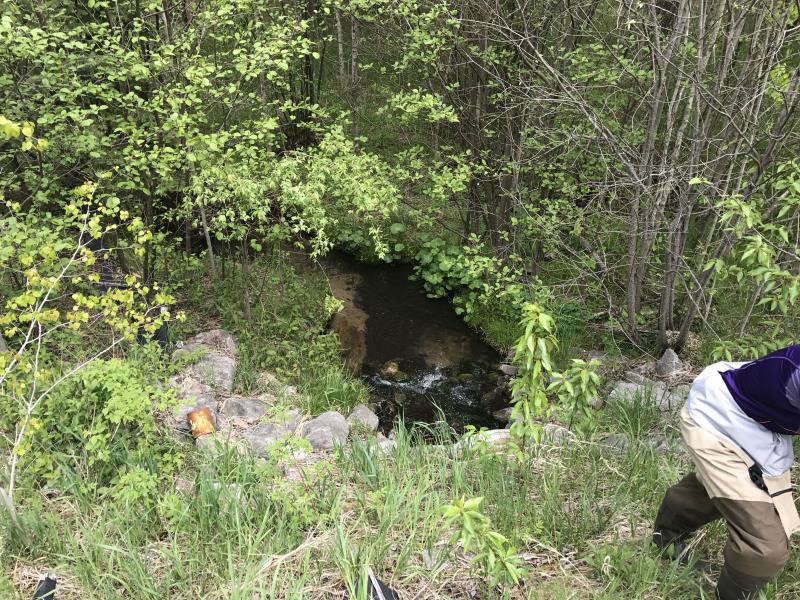
Upstream Conditions
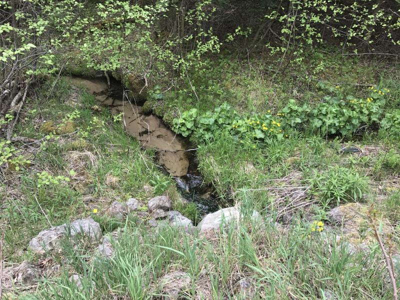
Downstream Conditions
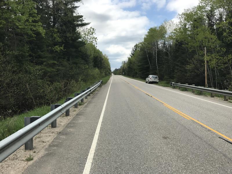
Road Approach - Left
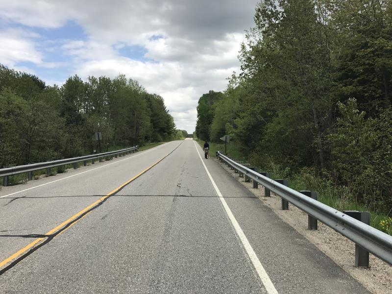
Road Approach - Right
Crossing Information
Type of Crossing: culvert(s)
Number of Structures: 1
Structure Shape: Round
Inlet Type: Projecting
Outlet Type: Cascade over Riprap
Structure Material: Metal
Structure Substrate: Sand
General Conditions: Good
Structure Interior: corrugated
Dimensions of Structure: Length 69 ft.
, Width 3 ft.
, Height 3 ft.
Structure is NOT Perched
Structure Inlet
Water Depth: 0.45 ft.
Embedded Depth of Structure: 0 ft.
Water Velocity*: 0.4 ft./sec.
Structure Outlet
Water Depth: 0.7 ft.
Embedded Depth of Structure: 0.2 ft.
Water Velocity*: 0.8 ft./sec.
*Water Velocities were measured 0.2 ft. below Surface
(with Meter)
Additional Comments
NOT ON RSX MAPS
Stream Information
Stream Flow: Less than 1/2 Bankfull
Riffle Information
Water Depth: 0.4 ft.
Bankfull Width: 6.5 ft.
Wetted Width: 3.4 ft.
Water Velocity: 0.8 ft./sec.
(Measured with Meter)
Dominant Substrate: Sand
Road Information
Paved
County Road
Road Condition: Good
Road Width at Culvert: 29 ft.
Location of Low Point: At Stream
Runoff Path: Ditch
Embankments
Upstream
Fill Depth: 6.6 ft.
Slope: More than 1:2
Downstream
Fill Depth: 6.7 ft.
Slope: More than 1:2
Approaches
Left Approach
Length: 577 ft.
Slope: 1% to 5%
Vegetation: Heavy
LS Factor: 0.515
Erosion: 0.2851 tons/year
Right Approach
Length: 390 ft.
Slope: 1% to 5%
Vegetation: Heavy
LS Factor: 0.478
Erosion: 0.1787 tons/year
Erosion Information
Total Erosion at Crossing: 0.4638 tons/year
Extent of Erosion: Minor
Summary Information
Fish Passability 0.9
These non-native species were observerd at this site: Mullein, Autumn Olive
�