Road Stream Crossing Site TBW_TBMO58
Thunder Bay River Watershed, Lockwood Lake Creek
M 33
Loud Twp,
Montmorency County
Information collected by:
Site Location
GPS Coordinates: 44.916
, -84.0314
T29N
R3E
Sec 12
Owned by Private
Fish Passability 0.9
Total Erosion: 0.0678 tons/year
Severity: Minor
Year Inventoried: 2017
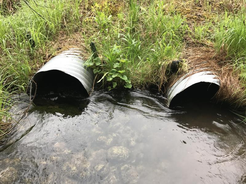
Inlet
Outlet
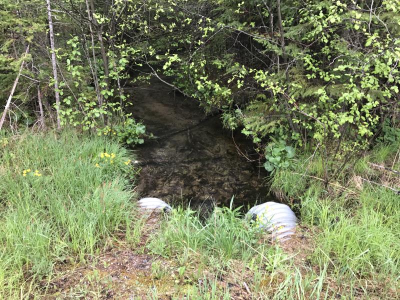
Upstream Conditions
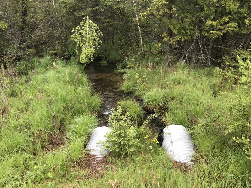
Downstream Conditions
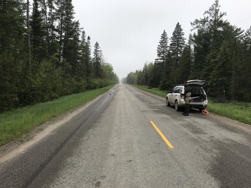
Road Approach - Left
Road Approach - Right
Crossing Information
Type of Crossing: culvert(s)
Number of Structures: 1
Structure Shape: Ellipse
Inlet Type: Wingwall 30-70 Degree
Outlet Type: At Stream Grade
Structure Material: Concrete
Structure Substrate: Sand
General Conditions: Good
Structure Interior: smooth
Dimensions of Structure: Length 110 ft.
, Width 4.9 ft.
, Height 3.3 ft.
Structure Inlet
Water Depth: 1.9 ft.
Embedded Depth of Structure: 1 ft.
Water Velocity*: 0.3 ft./sec.
Structure Outlet
Water Depth: 0.7 ft.
Embedded Depth of Structure: 0 ft.
Water Velocity*: 0 ft./sec.
*Water Velocities were measured 1.2 ft. below Surface
(with Meter)
Stream Information
Stream Flow: Less than Bankfull
Riffle Information
Water Depth: 1 ft.
Bankfull Width: 12 ft.
Wetted Width: 9.9 ft.
Water Velocity: 0.4 ft./sec.
(Measured with Meter)
Dominant Substrate: Silt
Road Information
Paved
State Road
Road Condition: Good
Road Width at Culvert: 41 ft.
Location of Low Point: Other
Runoff Path: Ditch
Embankments
Upstream
Fill Depth: 8.6 ft.
Slope: More than 1:2
Downstream
Fill Depth: 10.2 ft.
Slope: More than 1:2
Approaches
Left Approach
Length: 0 ft.
Slope: Less Than 1%
Vegetation: Heavy
LS Factor: 0.05
Erosion: 0 tons/year
Right Approach
Length: 1000 ft.
Slope: Less Than 1%
Vegetation: Heavy
LS Factor: 0.05
Erosion: 0.0678 tons/year
Erosion Information
Total Erosion at Crossing: 0.0678 tons/year
Summary Information
Fish Passability 0.9
�