Road Stream Crossing Site TBW_TBMO68
Thunder Bay River Watershed, Unnamed
Welch Road
Rust Twp,
Montmorency County
Information collected by:
Site Location
GPS Coordinates: 44.92175
, -83.94754
T29N
R4E
Sec 10
Owned by Private
Fish Passability 1
Structure is NOT Perched
Total Erosion: 5.0011 tons/year
Severity: Severe
Year Inventoried: 2017
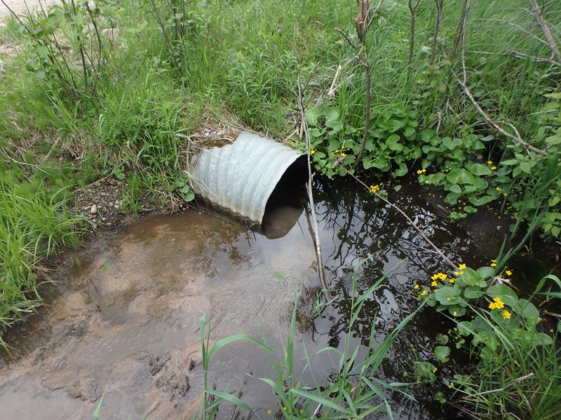
Inlet
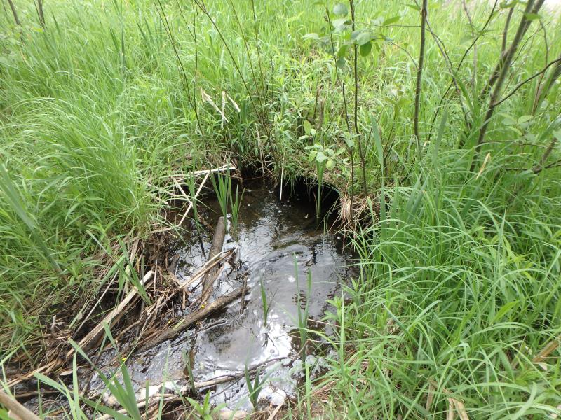
Outlet
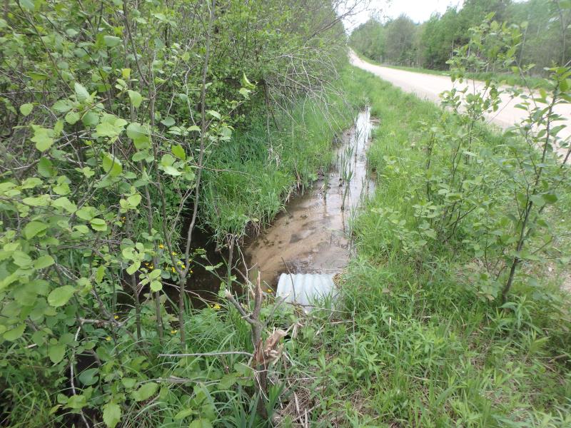
Upstream Conditions
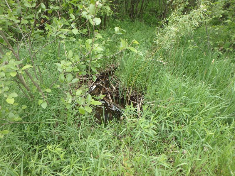
Downstream Conditions
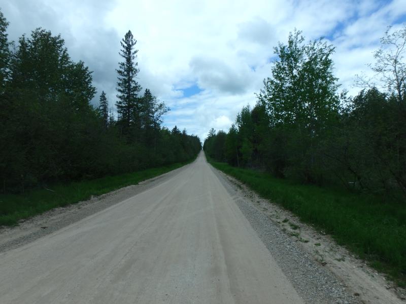
Road Approach - Left
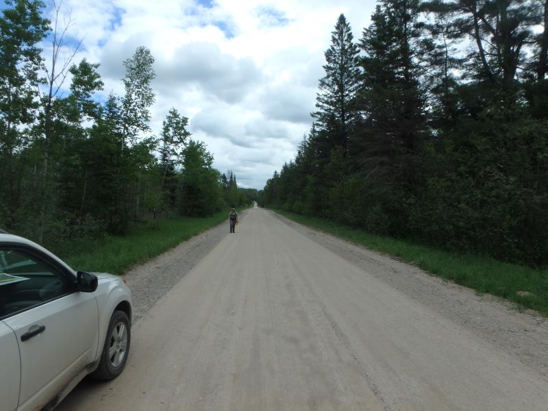
Road Approach - Right
Crossing Information
Type of Crossing: culvert(s)
Number of Structures: 1
Structure Shape: Round
Inlet Type: Projecting
Outlet Type: At Stream Grade
Structure Material: Metal
Structure Substrate: Sand
General Conditions: Fair
Structure Interior: corrugated
Dimensions of Structure: Length 43 ft.
, Width 2.1 ft.
, Height 2.1 ft.
Percentage Crushed:
Outlet: 1% to 25%
Structure is NOT Perched
Structure Inlet
Water Depth: 1.2 ft.
Embedded Depth of Structure: 0 ft.
Water Velocity*: 0.1 ft./sec.
Structure Outlet
Water Depth: 0.7 ft.
Embedded Depth of Structure: 0 ft.
Water Velocity*: 0.1 ft./sec.
*Water Velocities were measured 0.5 ft. below Surface
(with Meter)
Additional Comments
HOLE IN TOP OF STRUCTURE ON TOP OF ROAD NEAR UPSTREAM EMBANKMENT
Stream Information
Stream Flow: Less than Bankfull
Riffle Information
Water Depth: 0.8 ft.
Bankfull Width: 4 ft.
Wetted Width: 3 ft.
Water Velocity: 0 ft./sec.
(Measured with Meter)
Dominant Substrate: Silt
Road Information
Gravel
County Road
Road Condition: Good
Road Width at Culvert: 24 ft.
Location of Low Point: At Stream
Runoff Path: Ditch
Embankments
Upstream
Fill Depth: 0.4 ft.
Slope: More than 1:2
Downstream
Fill Depth: 1.5 ft.
Slope: More than 1:2
Approaches
Left Approach
Length: 1000 ft.
Slope: 1% to 5%
Vegetation: Heavy
LS Factor: 0.57
Erosion: 3.7686 tons/year
Right Approach
Length: 390 ft.
Slope: 1% to 5%
Vegetation: Heavy
LS Factor: 0.478
Erosion: 1.2325 tons/year
Erosion Information
Total Erosion at Crossing: 5.0011 tons/year
Extent of Erosion: Minor
Summary Information
Fish Passability 1
�