Road Stream Crossing Site TBW_TBMO90
Thunder Bay River Watershed, BargerCreek
Unnamed Private Drive
Briley Twp,
Montmorency County
Information collected by:
Site Location
GPS Coordinates: 45.0018
, -84.23473
T30N
R2E
Sec 07
Owned by Private
Fish Passability 0
Structure is NOT Perched
Total Erosion: 0.5554 tons/year
Severity: Severe
Year Inventoried: 2017
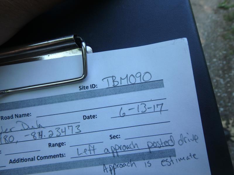
Site ID
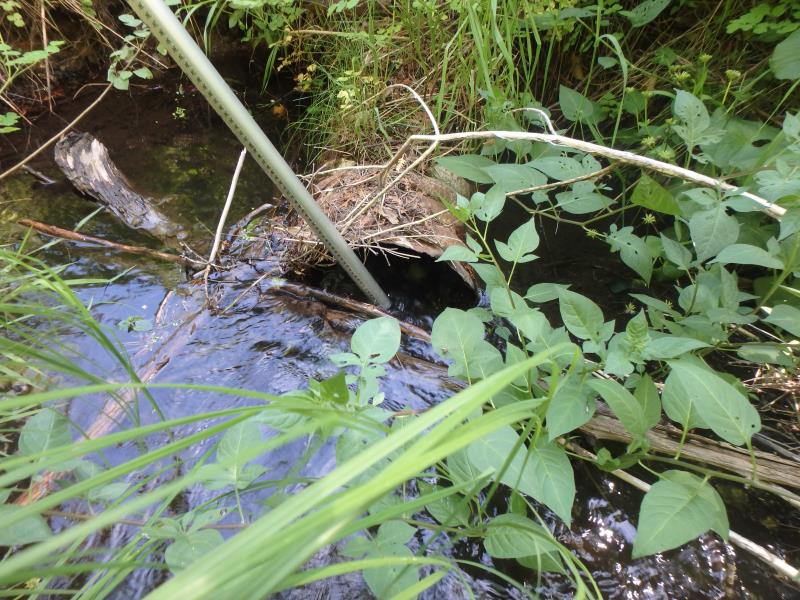
Inlet
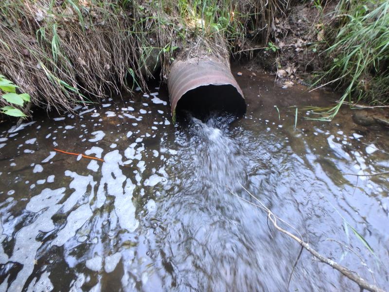
Outlet
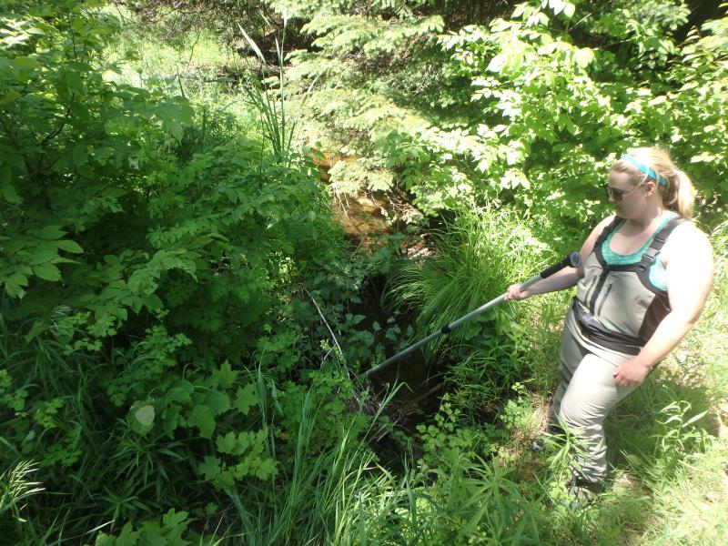
Upstream Conditions
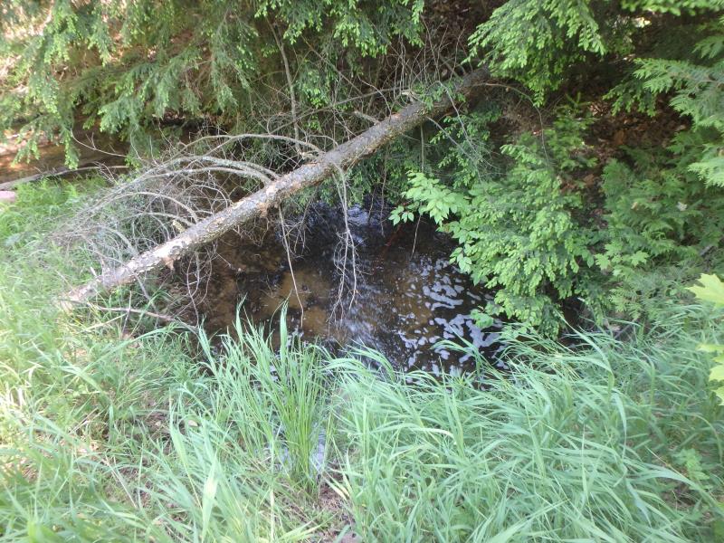
Downstream Conditions
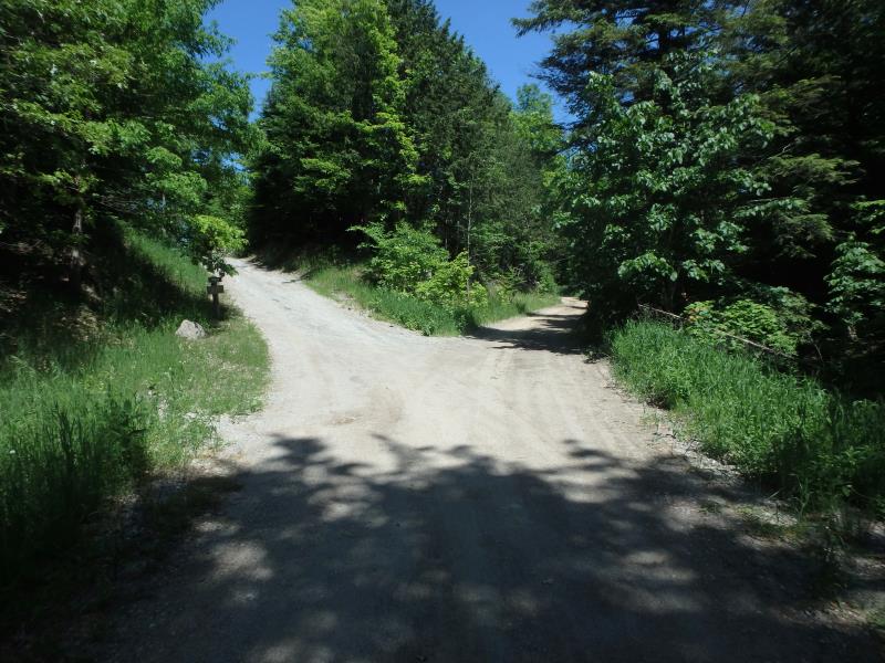
Road Approach - Left
Road Approach - Right
Crossing Information
Type of Crossing: culvert(s)
Number of Structures: 1
Structure Shape: Round
Inlet Type: Projecting
Outlet Type: At Stream Grade
Structure Material: Metal
Structure Substrate: None
General Conditions: Fair
Structure Interior: corrugated
Dimensions of Structure: Length 34 ft.
, Width 1.5 ft.
, Height 1.5 ft.
Percentage Plugged:
Inlet: 26% to 50%
Structure is NOT Perched
Structure Inlet
Water Depth: 1 ft.
Embedded Depth of Structure: 0 ft.
Water Velocity*: 2.7 ft./sec.
Structure Outlet
Water Depth: 0.7 ft.
Embedded Depth of Structure: 0 ft.
Water Velocity*: 3.4 ft./sec.
*Water Velocities were measured 0.2 ft. below Surface
(with Meter)
Additional Comments
LEFT APPROACH IS POSTED PRIVATE DRIVE APPROACH IS ESTIMATE, LEFT APPROACH (2) IS ~300' AT 1-5% (SEE IMAGE)
Stream Information
Stream Flow: Bankfull
Scour Pool: Length 15 ft.
, Width 11 ft.
, Depth 1.3 ft.
Riffle Information
Water Depth: 0.4 ft.
Bankfull Width: 13 ft.
Wetted Width: 11 ft.
Water Velocity: 1.2 ft./sec.
(Measured with Meter)
Dominant Substrate: Cobble
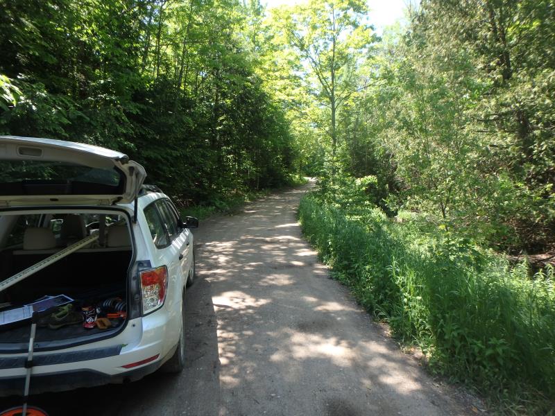
Road Information
Sand
Private Road
Road Condition: Fair
Road Width at Culvert: 12 ft.
Location of Low Point: At Stream
Runoff Path: Roadway
Embankments
Upstream
Fill Depth: 3.8 ft.
Slope: 1:2
Downstream
Fill Depth: 4 ft.
Slope: 1:1.5
Approaches
Left Approach
Length: 150 ft.
Slope: 6% to 10%
Vegetation: Heavy
LS Factor: 1.12
Erosion: 0.5554 tons/year
Right Approach
Length: 0 ft.
Slope: 1% to 5%
Vegetation: Heavy
LS Factor: 0.26
Erosion: 0 tons/year
Erosion Information
Total Erosion at Crossing: 0.5554 tons/year
Extent of Erosion: Minor
Summary Information
Fish Passability 0
Fish Passage is an area of concern for this site.
VELOCITY
�