Road Stream Crossing Site TBW_TBMO91
Thunder Bay River Watershed, Lake Inez Outlet
Woodland Ave
Briley Twp,
Montmorency County
Information collected by:
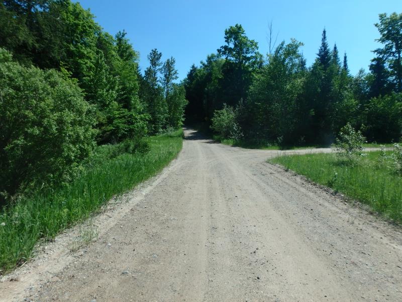
Site Location
GPS Coordinates: 45.0031
, -84.24361
T30N
R2E
Sec 07
Owned by Private
Fish Passability 0
Perch Height: 8 ft.
Total Erosion: 3.5828 tons/year
Severity: Severe
Year Inventoried: 2017
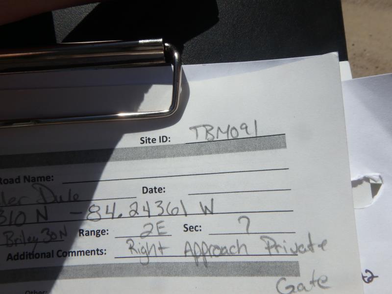
Site ID
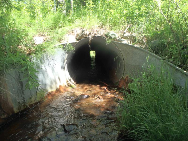
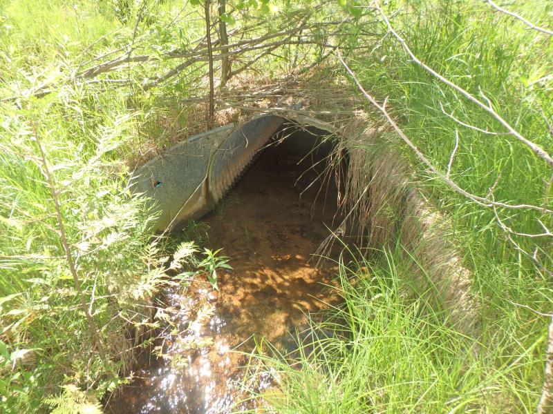
Inlet
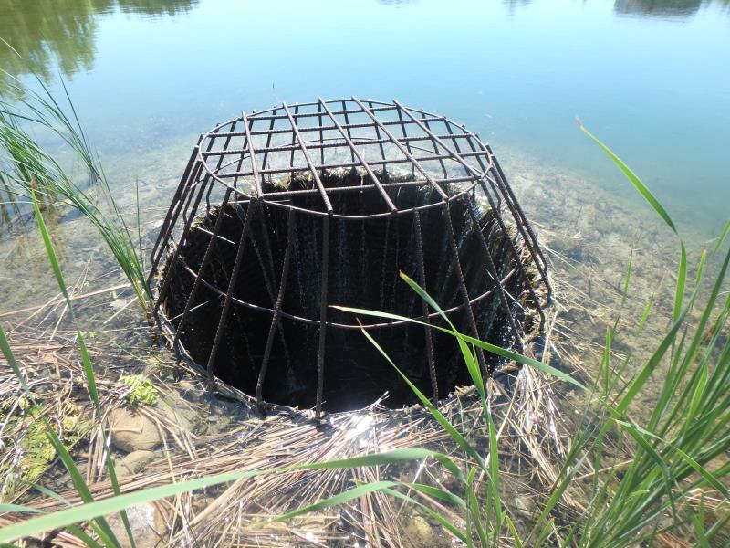
Inlet
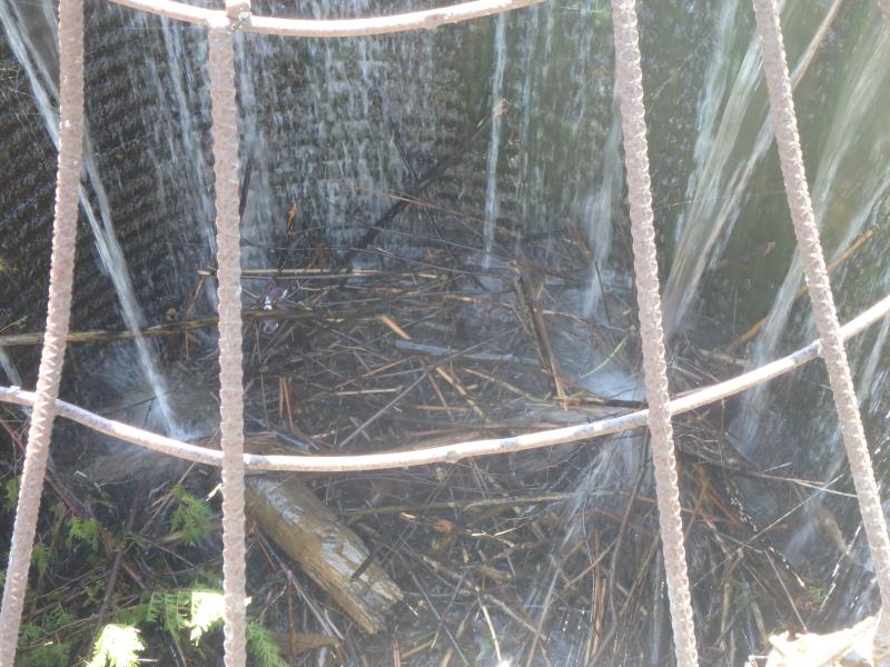
Inlet
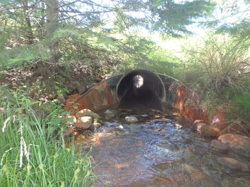
Outlet
Upstream Conditions
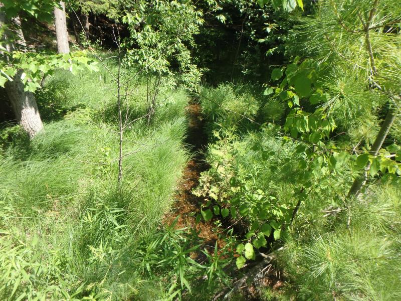
Downstream Conditions
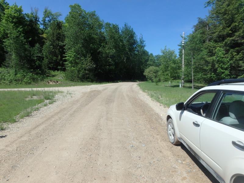
Road Approach - Left
Road Approach - Right
Crossing Information
Type of Crossing: Other
Structure Shape: Round
Inlet Type: Apron
Outlet Type: Outlet Apron
Structure Material: Metal
Structure Substrate: Mixture
General Conditions: Poor
Structure Interior: corrugated
Structure is Rusted through
Dimensions of Structure: Length 160 ft.
, Width 3.8 ft.
, Height 3.8 ft.
Percentage Crushed:
In Pipe: 1% to 25%
Perch Height: 8 ft.
Structure Inlet
Water Depth: 0.1 ft.
Embedded Depth of Structure: 0 ft.
Water Velocity*: 1.7 ft./sec.
Structure Outlet
Water Depth: 0.3 ft.
Embedded Depth of Structure: 0.7 ft.
Water Velocity*: 0.6 ft./sec.
*Water Velocities were measured at the Surface
(with Meter)
Additional Comments
THIS STREAM IS POSSIBLY BARGER CREEK BUT MAPS DO NOT REFLECT BARGER CREEK IN THE RIGHT AREA IF SO. THIS IS A DAM THAT FLOWS THROUGH 2 SEPARATE CULVERTS SEPERATED BY AN 8' OPENING. INLET VELOCITY WAS MEASURED AT INLET 2 (SEE DRAWING). RIGHT APPROACH BEHIND PRIVATE GATE SO IT WAS ESTIMATED.
Stream Information
Stream Flow: Less than Bankfull
Riffle Information
Water Depth: 0.25 ft.
Bankfull Width: 7 ft.
Wetted Width: 5.8 ft.
Water Velocity: 1.1 ft./sec.
(Measured with Meter)
Dominant Substrate: Gravel
Road Information
Sand
Private Road
Road Condition: Fair
Road Width at Culvert: 18 ft.
Location of Low Point: At Stream
Runoff Path: Roadway
Embankments
Upstream
Fill Depth: 8.6 ft.
Slope: More than 1:2
Downstream
Fill Depth: 10.5 ft.
Slope: More than 1:2
Approaches
Left Approach
Length: 251 ft.
Slope: 1% to 5%
Vegetation: Heavy
LS Factor: 0.44
Erosion: 0.5481 tons/year
Right Approach
Length: 400 ft.
Slope: 6% to 10%
Vegetation: Heavy
LS Factor: 1.53
Erosion: 3.0347 tons/year
Erosion Information
Total Erosion at Crossing: 3.5828 tons/year
Extent of Erosion: Minor
Erosion is occurring and corrective actions can be installed to address the problem.
Summary Information
Fish Passability 0
Fish Passage is an area of concern for this site.
DAM
These non-native species were observerd at this site: Spotted Knapweed
�