Road Stream Crossing Site TBW_TBOS74
Thunder Bay River Watershed, Unnamed
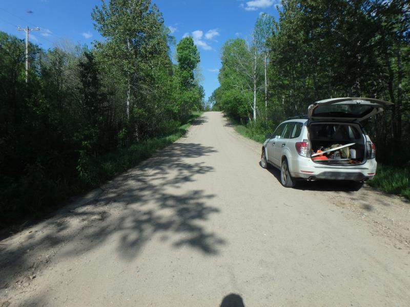
Delano Road
Clinton Twp,
Oscoda County
Information collected by:
Site Location
GPS Coordinates: 44.82674
, -84.06481
T28N
R3E
Sec 10
Owned by Private
Fish Passability 1
Structure is NOT Perched
Total Erosion: 15.2296 tons/year
Severity: Severe
Year Inventoried: 2017
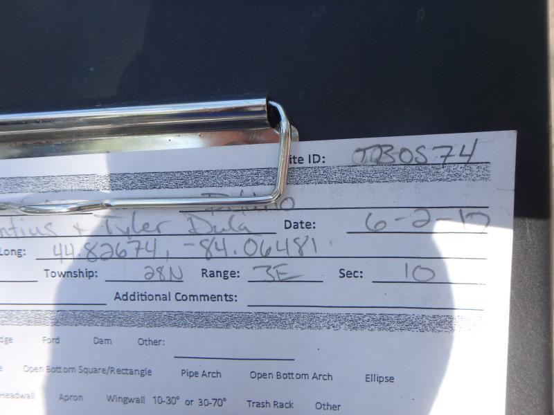
Site ID
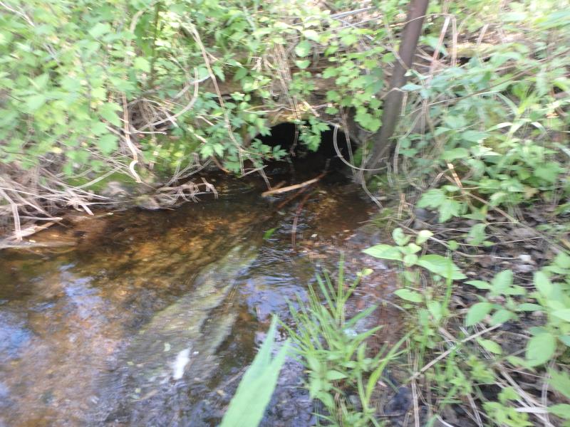
Inlet
Outlet
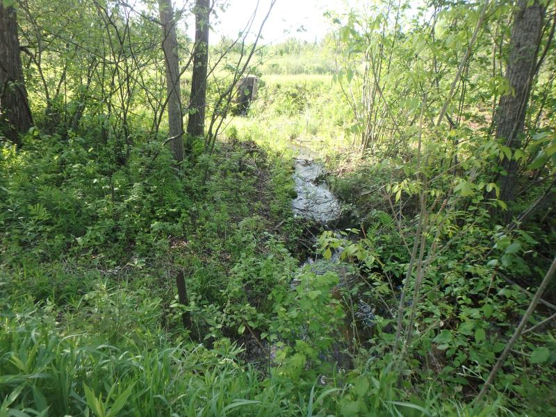
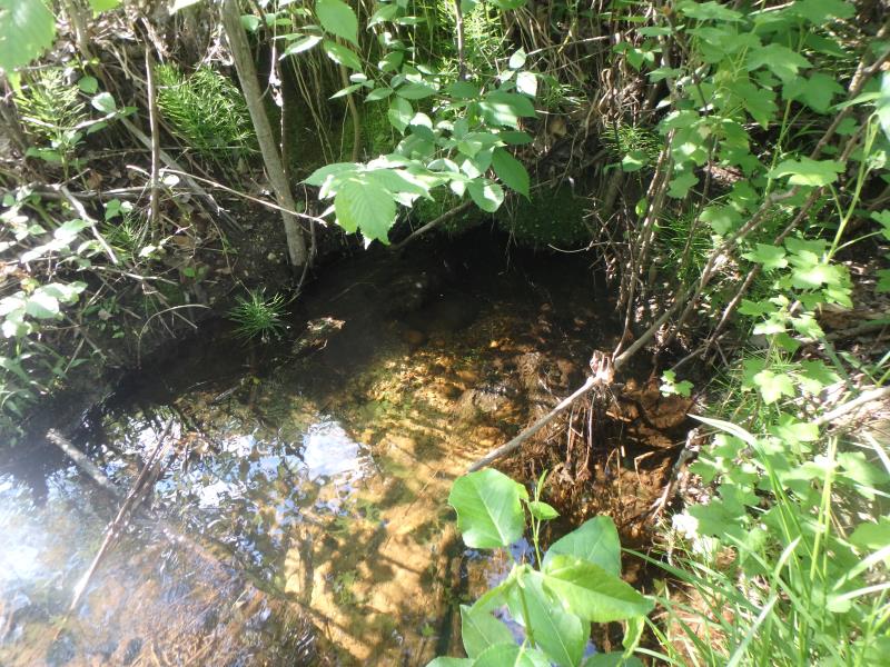
Upstream Conditions
Downstream Conditions
Road Approach - Left
Road Approach - Right
Crossing Information
Type of Crossing: culvert(s)
Number of Structures: 1
Structure Shape: Round
Inlet Type: Projecting
Outlet Type: At Stream Grade
Structure Material: Metal
Structure Substrate: Mixture
General Conditions: Poor
Structure Interior: corrugated
Dimensions of Structure: Length 30 ft.
, Width 2.1 ft.
, Height 2.1 ft.
Percentage Plugged:
Outlet: 26% to 50%
Structure is NOT Perched
Structure Inlet
Water Depth: 0.5 ft.
Embedded Depth of Structure: 0.6 ft.
Water Velocity*: 1.4 ft./sec.
Structure Outlet
Water Depth: 1 ft.
Embedded Depth of Structure: 1 ft.
Water Velocity*: 0.2 ft./sec.
*Water Velocities were measured 0.3 ft. below Surface
(with Meter)
Additional Comments
0.6' OVERHANG OVER OUTLET ON DOWNSTREAM EMBANKMENT
Stream Information
Stream Flow: Less than Bankfull
Riffle Information
Water Depth: 0.5 ft.
Bankfull Width: 3.7 ft.
Wetted Width: 2 ft.
Water Velocity: 0.8 ft./sec.
(Measured with Meter)
Dominant Substrate: Gravel
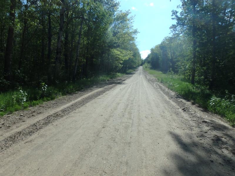
Road Information
Sand
County Road
Road Condition: Fair
Road Width at Culvert: 20 ft.
Location of Low Point: At Stream
Runoff Path: Roadway
Embankments
Upstream
Fill Depth: 3.3 ft.
Slope: 1:2
Downstream
Fill Depth: 4.5 ft.
Slope: Vertical
Approaches
Left Approach
Length: 451 ft.
Slope: 6% to 10%
Vegetation: Heavy
LS Factor: 1.584
Erosion: 3.9349 tons/year
Right Approach
Length: 1000 ft.
Slope: 6% to 10%
Vegetation: Heavy
LS Factor: 2.05
Erosion: 11.2948 tons/year
Erosion Information
Total Erosion at Crossing: 15.2296 tons/year
Extent of Erosion: Minor
Erosion is occurring and corrective actions can be installed to address the problem.
Summary Information
Fish Passability 1
Fish Passage is an area of concern for this site.
PLUGGED AND DAM 20 FEET UPSTREAM
A future visit to this site is recommended. CULVERT SUBMERGED BY EMBANKMENT
�