Road Stream Crossing Site TBW_TBOS75
Thunder Bay River Watershed, March Creek
Weaver Road
Clinton Twp,
Oscoda County
Information collected by:
Site Location
GPS Coordinates: 44.79907
, -84.02646
T28N
R3E
Sec 24
Owned by Private
Fish Passability 0.9
Structure is NOT Perched
Total Erosion: 3.6966 tons/year
Severity: Severe
Year Inventoried: 2017
Site ID
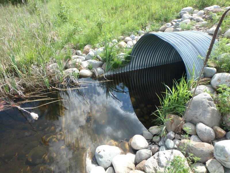
Inlet
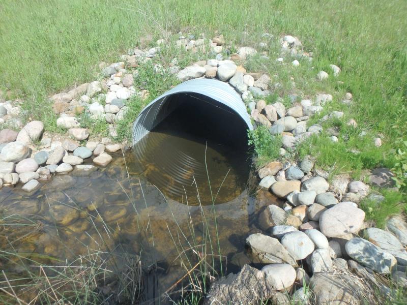
Outlet
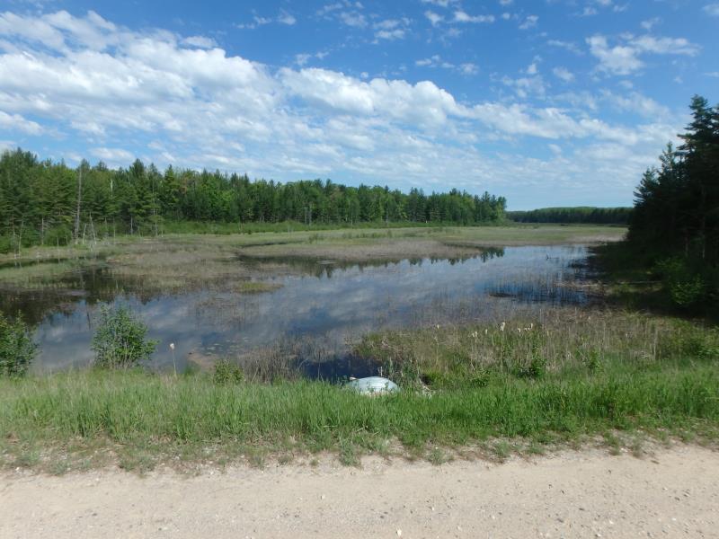
Upstream Conditions
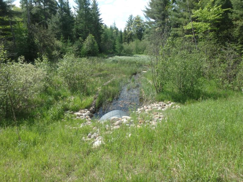
Downstream Conditions
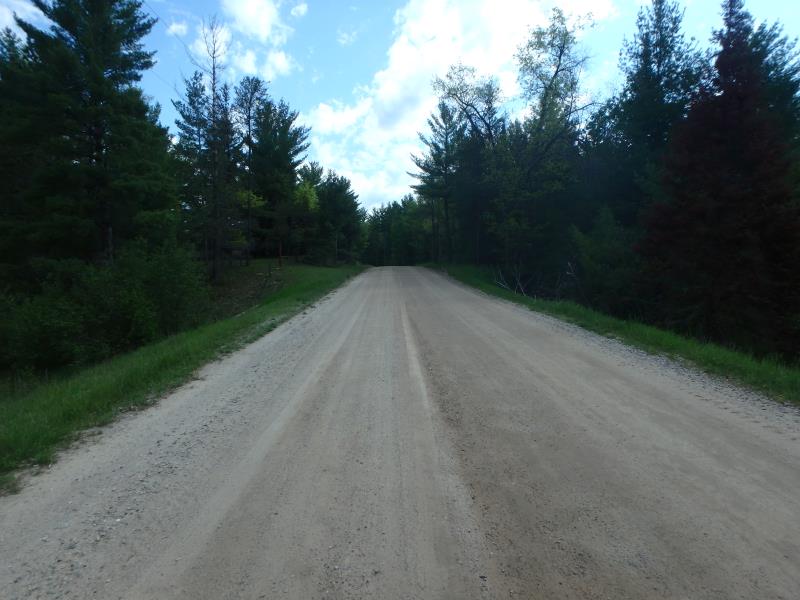
Road Approach - Left
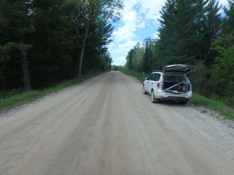
Road Approach - Right
Crossing Information
Type of Crossing: culvert(s)
Number of Structures: 1
Structure Shape: Round
Inlet Type: Mitered
Outlet Type: At Stream Grade
Structure Material: Metal
Structure Substrate: Gravel
General Conditions: New
Dimensions of Structure: Length 85 ft.
, Width 6 ft.
, Height 6 ft.
Structure is NOT Perched
Structure Inlet
Water Depth: 2.1 ft.
Embedded Depth of Structure: 0.1 ft.
Water Velocity*: 0.3 ft./sec.
Structure Outlet
Water Depth: 2.2 ft.
Embedded Depth of Structure: 0.9 ft.
Water Velocity*: 0 ft./sec.
*Water Velocities were measured 1 ft. below Surface
(with Meter)
Stream Information
Stream Flow: Less than Bankfull
Riffle Information
Water Depth: 0.9 ft.
Bankfull Width: 13 ft.
Wetted Width: 9 ft.
Water Velocity: 0.6 ft./sec.
(Measured with Meter)
Dominant Substrate: Sand
Road Information
Sand
County Road
Road Condition: Fair
Road Width at Culvert: 25 ft.
Location of Low Point: At Stream
Runoff Path: Roadway
Embankments
Upstream
Fill Depth: 7 ft.
Slope: More than 1:2
Downstream
Fill Depth: 6.2 ft.
Slope: More than 1:2
Approaches
Left Approach
Length: 220 ft.
Slope: 1% to 5%
Vegetation: Heavy
LS Factor: 0.434
Erosion: 0.6576 tons/year
Right Approach
Length: 802 ft.
Slope: 1% to 5%
Vegetation: Heavy
LS Factor: 0.55
Erosion: 3.039 tons/year
Erosion Information
Total Erosion at Crossing: 3.6966 tons/year
Extent of Erosion: Stabilized
Erosion is occurring and corrective actions can be installed to address the problem.
Summary Information
Fish Passability 0.9
These non-native species were observerd at this site: Spotted Knapweed, Mullein
�