Road Stream Crossing Site TBW_TBOS76
Thunder Bay River Watershed, Unnamed outlet of McCollum Lake
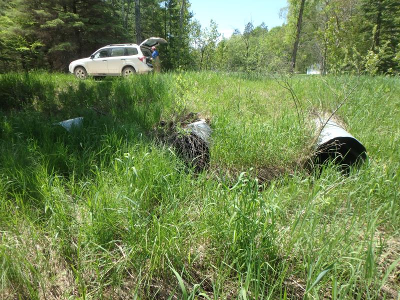
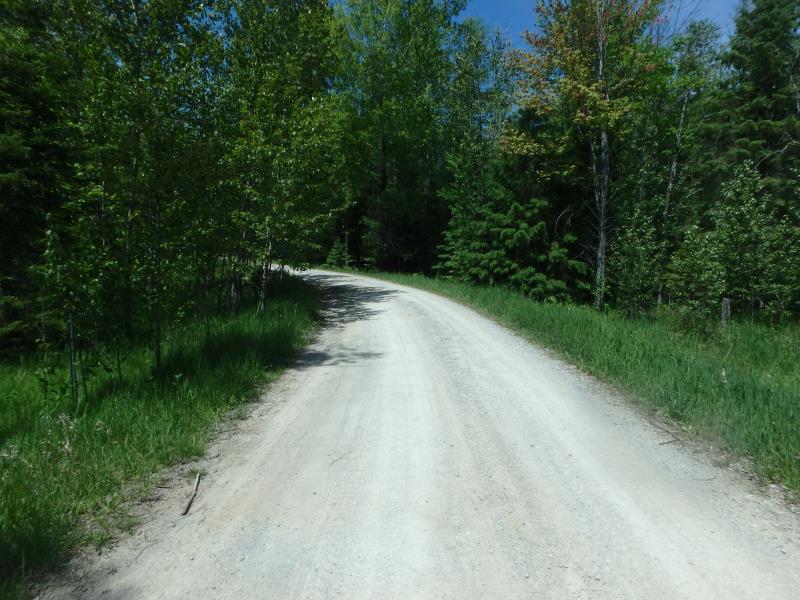
Dollar Drive
Clinton Twp,
Oscoda County
Information collected by:
Site Location
GPS Coordinates: 44.78024
, -83.88928
T28N
R4E
Sec 36
Owned by Private
Fish Passability 0.5
Structure is NOT Perched
Total Erosion: 1.9445 tons/year
Severity: Moderate
Year Inventoried: 2017
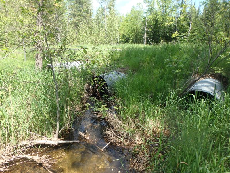
Inlet
Outlet
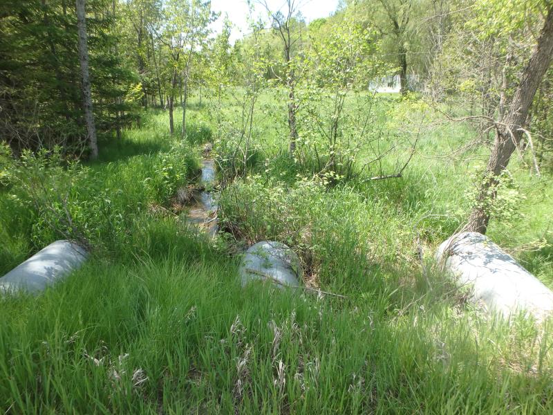
Upstream Conditions
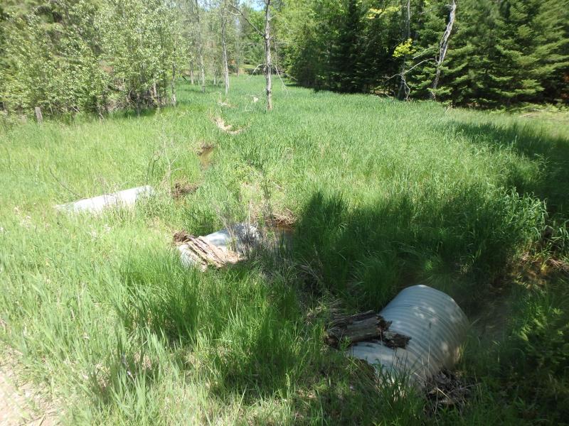
Downstream Conditions
Road Approach - Left
Road Approach - Right
Crossing Information
Type of Crossing: culvert(s)
Number of Structures: 3
Structure Shape: Round
Inlet Type: Projecting
Outlet Type: At Stream Grade
Structure Material: Metal
Structure Substrate: None
General Conditions: Good
Multiple Culverts/Spans | ||||
Culvert/Span | Width | Length | Height | Material |
1 |
3 ft. |
40 ft. |
3 ft. |
Metal |
2 |
3 ft. |
40 ft. |
3 ft. |
Metal |
3 |
3 ft. |
40 ft. |
3 ft. |
Metal |
Structure Interior: corrugated
Dimensions of Structure: Length 40 ft.
, Width 3 ft.
, Height 3 ft.
Structure is NOT Perched
Structure Inlet
Water Depth: 0.8 ft.
Embedded Depth of Structure: 0 ft.
Water Velocity*: 1.1 ft./sec.
Structure Outlet
Water Depth: 0.5 ft.
Embedded Depth of Structure: 0 ft.
Water Velocity*: 1.2 ft./sec.
*Water Velocities were measured 0.5 ft. below Surface
(with Meter)
Additional Comments
CULVERT 2 IS MAIN FLOW
Stream Information
Stream Flow: Less than Bankfull
Riffle Information
Water Depth: 0.8 ft.
Bankfull Width: 5.5 ft.
Wetted Width: 3.7 ft.
Water Velocity: 1.1 ft./sec.
(Measured with Meter)
Dominant Substrate: Sand
Road Information
Sand
Private Road
Road Condition: Good
Road Width at Culvert: 14 ft.
Location of Low Point: At Stream
Runoff Path: Ditch
Embankments
Upstream
Fill Depth: 2 ft.
Slope: More than 1:2
Downstream
Fill Depth: 2.5 ft.
Slope: More than 1:2
Approaches
Left Approach
Length: 290 ft.
Slope: 1% to 5%
Vegetation: Heavy
LS Factor: 0.456
Erosion: 0.51 tons/year
Right Approach
Length: 696 ft.
Slope: 1% to 5%
Vegetation: Heavy
LS Factor: 0.534
Erosion: 1.4345 tons/year
Erosion Information
Total Erosion at Crossing: 1.9445 tons/year
Extent of Erosion: Stabilized
Erosion is occurring and corrective actions can be installed to address the problem.
Summary Information
Fish Passability 0.5
�