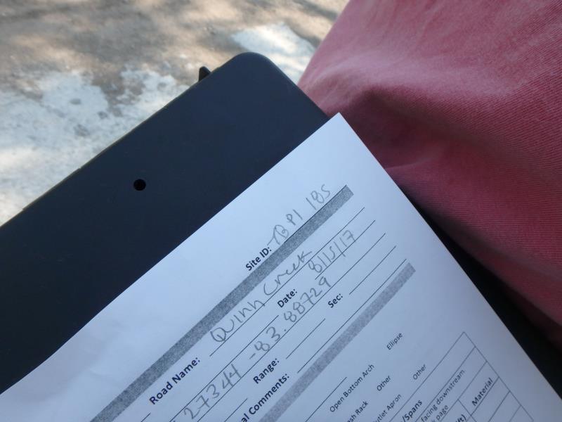
Road Stream Crossing Site TBW_TBPI185
Thunder Bay River Watershed, Quinn Creek
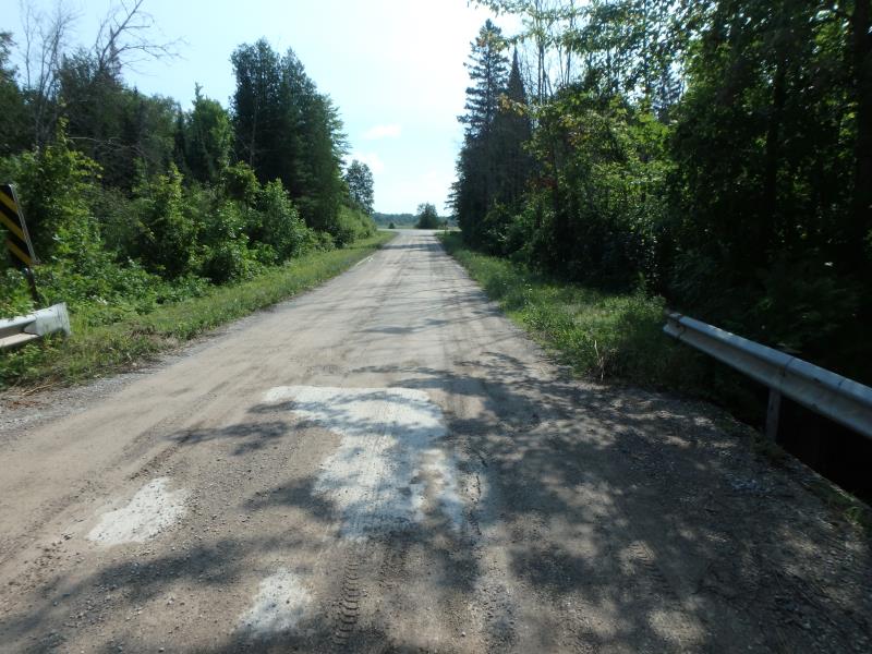
Quinn Creek Road
Bismarck Twp,
Presque Isle County
Information collected by:
Site Location
GPS Coordinates: 45.27344
, -83.88729
T33N
R4E
Sec 01
Owned by Private
Structure is NOT Perched
Total Erosion: 12.989 tons/year
Severity: Severe
Year Inventoried: 2017
Site ID
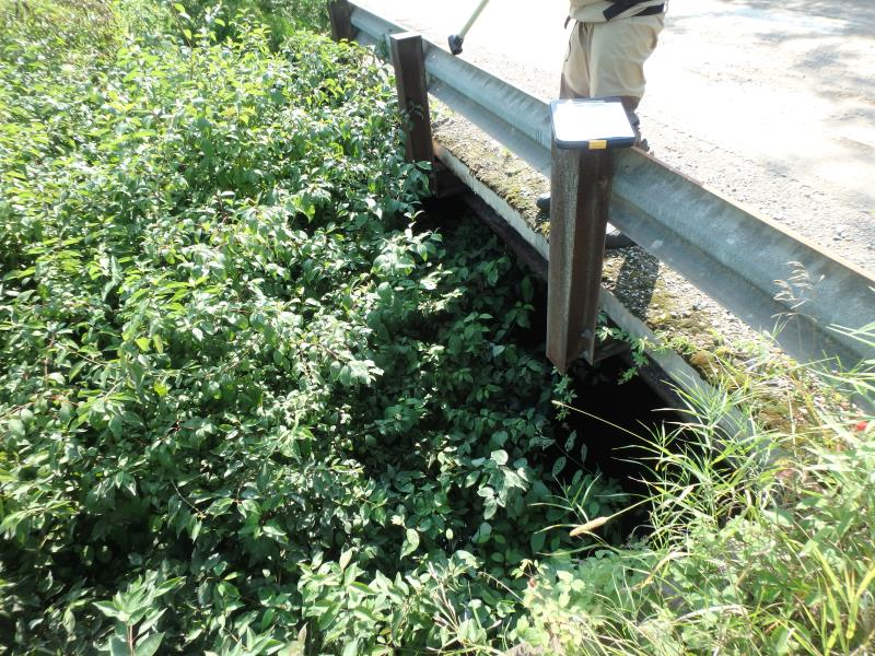
Inlet
Outlet
Upstream Conditions
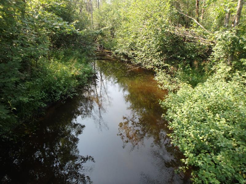
Downstream Conditions
Road Approach - Left
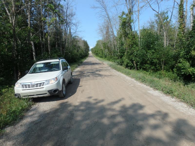
Road Approach - Right
other
Crossing Information
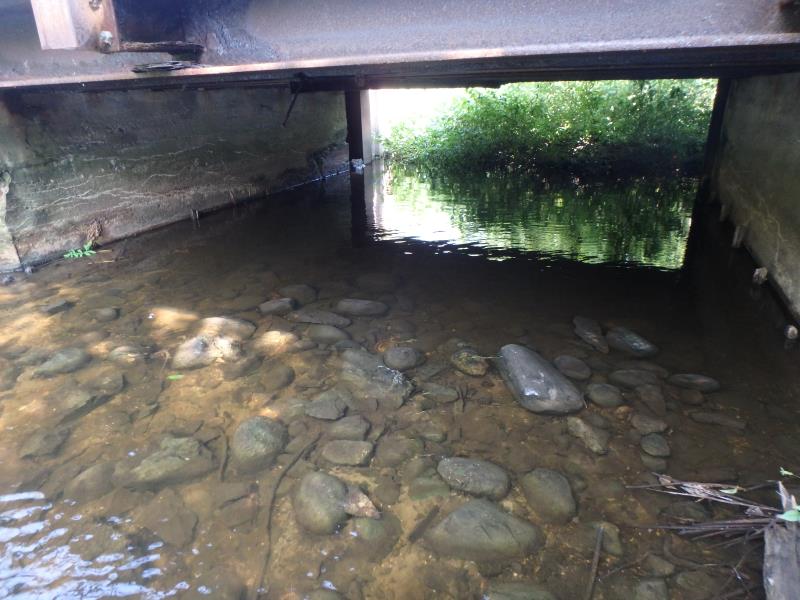
Type of Crossing: Bridge
Structure Shape: Open Bottom Square/Rectangle
Inlet Type: Headwall
Outlet Type: At Stream Grade
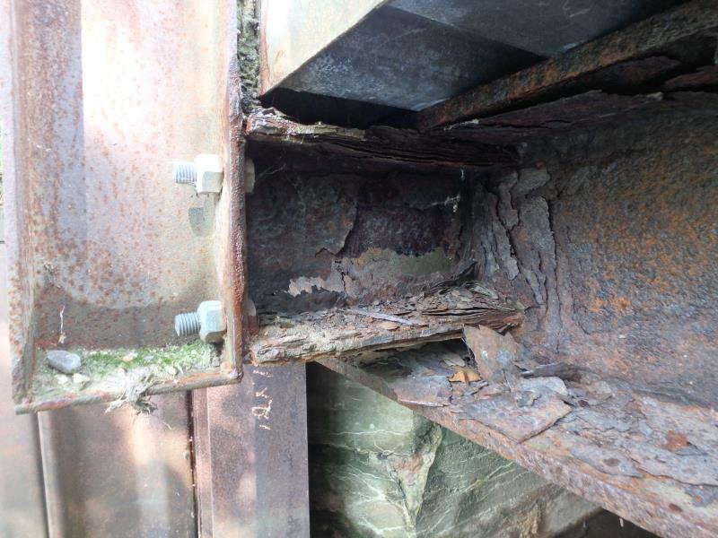
Structure Material: Concrete
Structure Substrate: Rock
General Conditions: Poor
Structure Interior: smooth
Structure is Rusted through
Dimensions of Structure: Length 23 ft.
, Width 18 ft.
, Height 6 ft.
Structure is NOT Perched
Structure Inlet
Water Depth: 0.5 ft.
Embedded Depth of Structure: 0 ft.
Water Velocity*: 0.5 ft./sec.
Structure Outlet
Water Depth: 0.9 ft.
Embedded Depth of Structure: 0 ft.
Water Velocity*: 0 ft./sec.
*Water Velocities were measured 0.3 ft. below Surface
(with Meter)
Additional Comments
I-BEAMS RUSTED THROUGH, RIFFLE NOT SAFELY ACCESSIBLE
Stream Information
Stream Flow: Bankfull
Road Information
Sand
County Road
Road Condition: Fair
Road Width at Culvert: 23 ft.
Location of Low Point: Other
Runoff Path: Roadway
Fill Depth: 0 ft.
Slope: Vertical
Fill Depth: 0 ft.
Slope: Vertical
Approaches
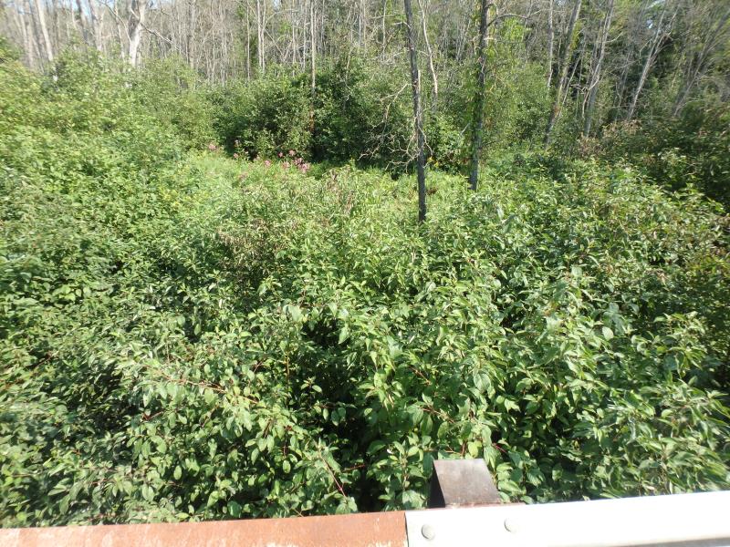
Left Approach
Length: 0 ft.
Slope: Less Than 1%
Vegetation: Heavy
LS Factor: 0.05
Erosion: 0 tons/year
Right Approach
Length: 1000 ft.
Slope: 6% to 10%
Vegetation: Heavy
LS Factor: 2.05
Erosion: 12.989 tons/year
Erosion Information
Total Erosion at Crossing: 12.989 tons/year
Extent of Erosion: Minor
Erosion is occurring and corrective actions can be installed to address the problem.
Summary Information
Erosion is an area of concern for this site.
STRUCTURE CONDITION
These non-native species were observerd at this site: Queen Anne's Lace
�