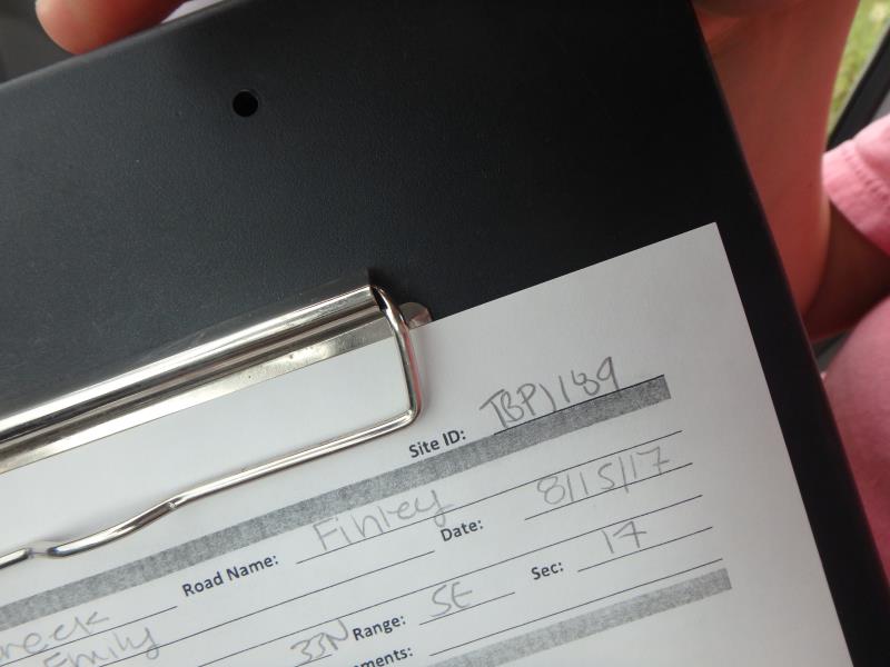
Road Stream Crossing Site TBW_TBPI189
Thunder Bay River Watershed, Quinn Creek
Finley Road
Metz Twp,
Presque Isle County
Information collected by:
Site Location
GPS Coordinates: 45.2548
, -83.86156
T33N
R5E
Sec 17
Owned by Private
State
State
Structure is NOT Perched
Total Erosion: 6.281 tons/year
Severity: Severe
Year Inventoried: 2017
Site ID
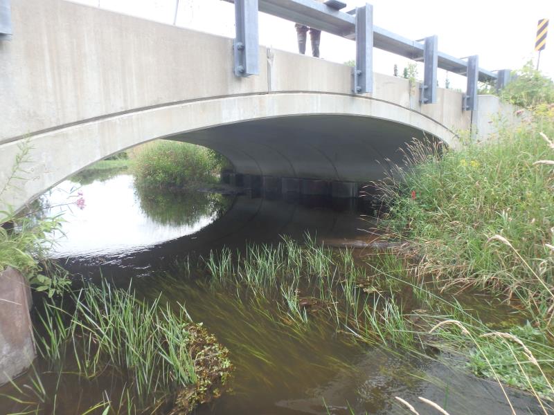
Inlet
Outlet
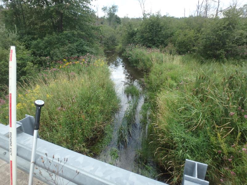
Upstream Conditions
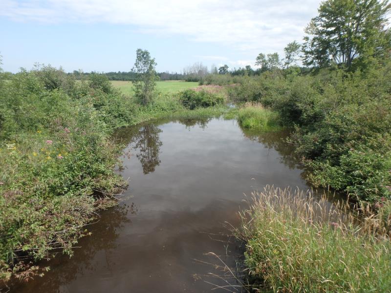
Downstream Conditions
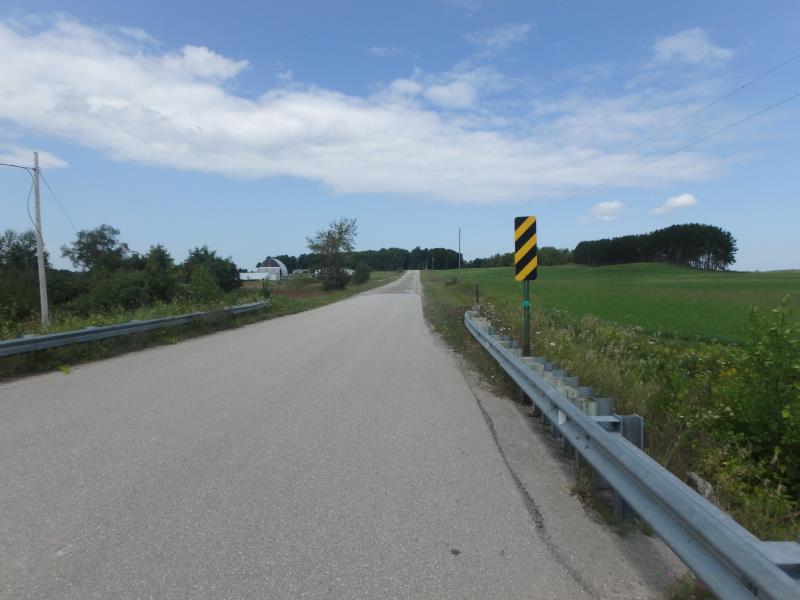
Road Approach - Left
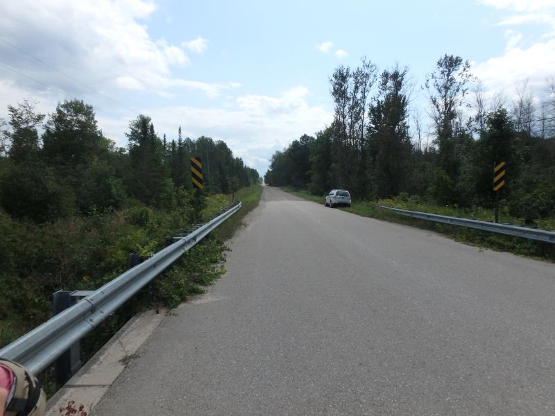
Road Approach - Right
Crossing Information
Type of Crossing: Bridge
Structure Shape: Open Bottom Arch
Inlet Type: Wingwall 30-70 Degree
Outlet Type: At Stream Grade
Structure Material: Concrete
Structure Substrate: Sand
General Conditions: New
Structure Interior: smooth
Dimensions of Structure: Length 40 ft.
, Width 29 ft.
, Height 7 ft.
Structure is NOT Perched
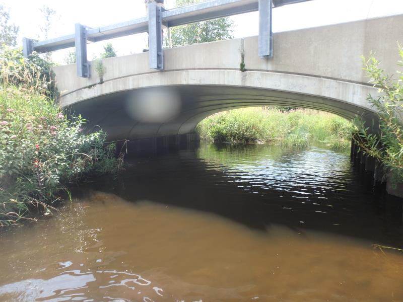
Structure Inlet
Water Depth: 1.3 ft.
Embedded Depth of Structure: 0 ft.
Water Velocity*: 1.3 ft./sec.
Structure Outlet
Water Depth: 1.5 ft.
Embedded Depth of Structure: 0 ft.
Water Velocity*: 0.1 ft./sec.
*Water Velocities were measured 0.3 ft. below Surface
(with Meter)
Additional Comments
RIFFLE NOT SAFELY ACCESSIBLE
Stream Information
Stream Flow: Less than Bankfull
Scour Pool: Length 40 ft.
, Width 40 ft.
, Depth 4 ft.
Road Information
Gravel
County Road
Road Condition: Fair
Road Width at Culvert: 40 ft.
Location of Low Point: Other
Runoff Path: Ditch
Fill Depth: 0 ft.
Slope: Vertical
Fill Depth: 0 ft.
Slope: Vertical
Approaches
Left Approach
Length: 1000 ft.
Slope: 1% to 5%
Vegetation: Heavy
LS Factor: 0.57
Erosion: 6.281 tons/year
Right Approach
Length: 0 ft.
Slope: Less Than 1%
Vegetation: Heavy
LS Factor: 0.05
Erosion: 0 tons/year
Erosion Information
Total Erosion at Crossing: 6.281 tons/year
Extent of Erosion: Minor
Erosion is occurring and corrective actions can be installed to address the problem.
Notes: ROAD IS PAVED IMMEDIATELY AT STRUCTURE
Summary Information
These non-native species were observerd at this site: Reed Canary Grass, Spotted Knapweed, Queen Anne's Lace
�