Road Stream Crossing Site TBW_TBPI224
Thunder Bay River Watershed, Erskine Creek
Long Lake Hwy
Posen Twp,
Presque Isle County
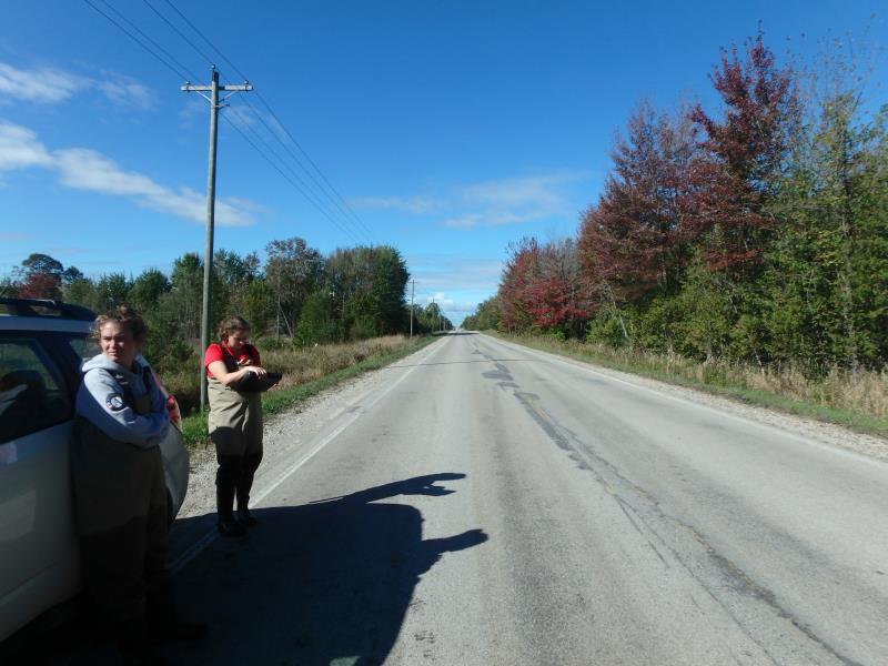
Information collected by:
Site Location
GPS Coordinates: 45.21919
, -83.67169
T33N
R6E
Sec 26
Owned by Private
Fish Passability 0
Perch Height: 0.3 ft.
Total Erosion: 0.7309 tons/year
Severity: Severe
Year Inventoried: 2017
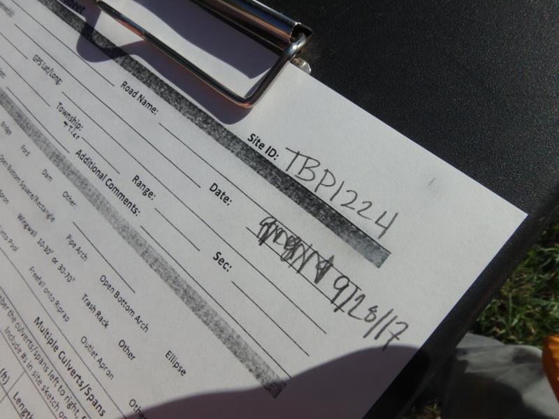
Site ID
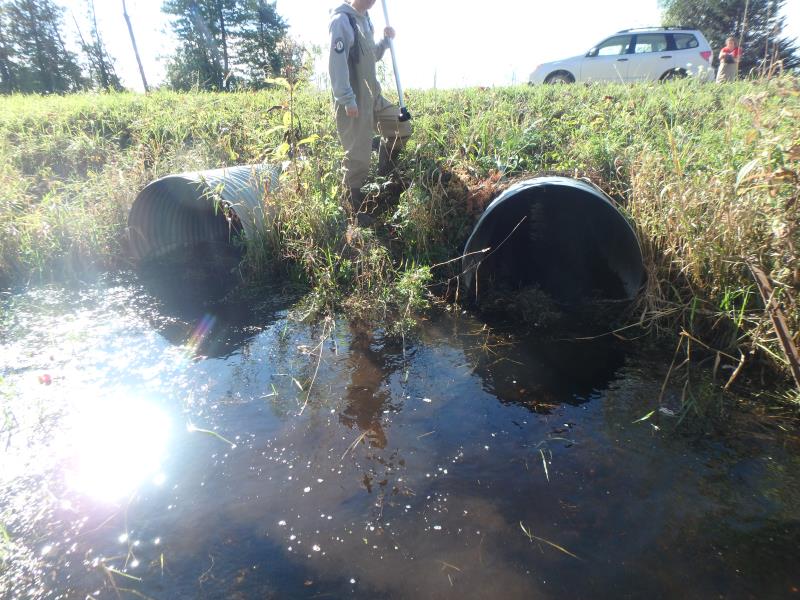
Inlet
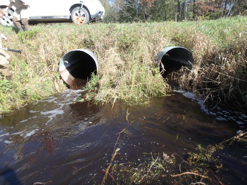
Outlet
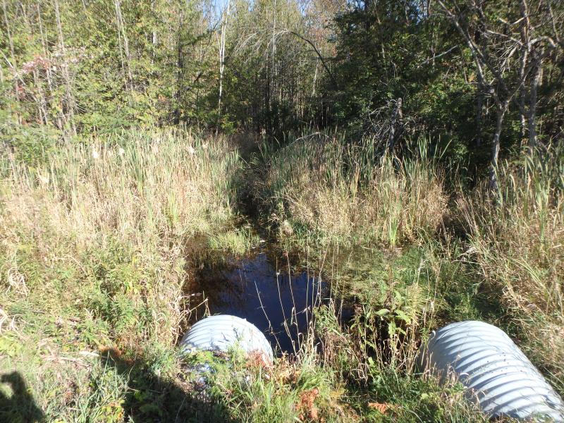
Upstream Conditions
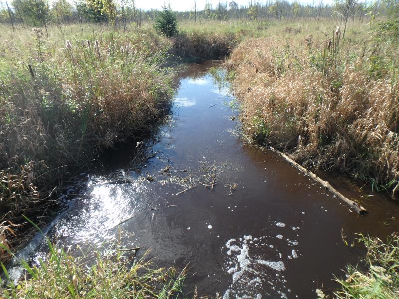
Downstream Conditions
Road Approach - Left
Road Approach - Right
Crossing Information
Type of Crossing: culvert(s)
Number of Structures: 2
Structure Shape: Round
Inlet Type: Projecting
Outlet Type: Freefall into Pool
Structure Material: Metal
Structure Substrate: None
General Conditions: Fair
Multiple Culverts/Spans | ||||
Culvert/Span | Width | Length | Height | Material |
1 |
3 ft. |
50 ft. |
3 ft. |
Metal |
2 |
3 ft. |
50 ft. |
3 ft. |
Metal |
Structure Interior: corrugated
Dimensions of Structure: Length 50 ft.
, Width 3 ft.
, Height 3 ft.
Perch Height: 0.3 ft.
Structure Inlet
Water Depth: 1.65 ft.
Embedded Depth of Structure: 0 ft.
Water Velocity*: 2.7 ft./sec.
Structure Outlet
Water Depth: 0.5 ft.
Embedded Depth of Structure: 0 ft.
Water Velocity*: 3.5 ft./sec.
*Water Velocities were measured 0.5 ft. below Surface
(with Meter)
Additional Comments
INLET BEAVER PLUGGAGE WAS REMOVED AT SITE/WAS AN ALMOST COMPLETE BLOCKAGE/CULVERT #2 IS MAIN FLOW
Stream Information
Stream Flow: Less than Bankfull
Scour Pool: Length 16 ft.
, Width 15 ft.
, Depth 2 ft.
Upstream Pond: Length 12 ft.
, Width 21.5 ft.
, Depth 1.1 ft.
Riffle Information
Water Depth: 1.3 ft.
Bankfull Width: 11 ft.
Wetted Width: 9 ft.
Water Velocity: 0.5 ft./sec.
(Measured with Meter)
Dominant Substrate: Sand
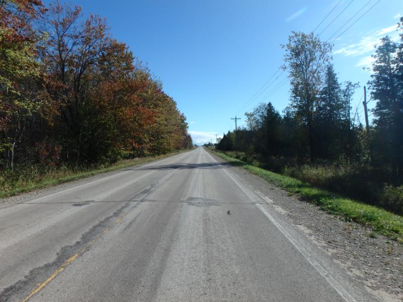
Road Information
Paved
County Road
Road Condition: Fair
Road Width at Culvert: 23 ft.
Location of Low Point: At Stream
Runoff Path: Ditch
Embankments
Upstream
Fill Depth: 2.2 ft.
Slope: More than 1:2
Downstream
Fill Depth: 3 ft.
Slope: More than 1:2
Approaches
Left Approach
Length: 1000 ft.
Slope: 1% to 5%
Vegetation: Heavy
LS Factor: 0.57
Erosion: 0.4334 tons/year
Right Approach
Length: 726 ft.
Slope: 1% to 5%
Vegetation: Heavy
LS Factor: 0.539
Erosion: 0.2975 tons/year
Erosion Information
Total Erosion at Crossing: 0.7309 tons/year
Extent of Erosion: Stabilized
Summary Information
Fish Passability 0
Fish Passage is an area of concern for this site.
These non-native species were observerd at this site: Queen Anne's Lace, Narrowleaf cattail and Reed Canary Grass
�