Road Stream Crossing Site CRW_002
Cedar River Watershed, North Branch Cedar River
Trestle Junction (Field Trial Area)
Sherman Twp,
Gladwin County
Information collected by:
Site Location
GPS Coordinates: 44.147367
, -84.560217
T20N
R2W
Sec 4
Owned by State
Fish Passability 0.9
Structure is NOT Perched
Total Erosion: 1.2121 tons/year
Severity: Moderate
Year Inventoried: 2018
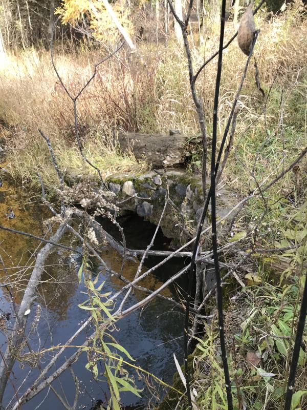
Inlet
Outlet
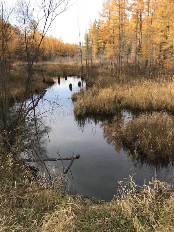
Upstream Conditions
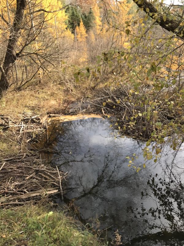
Downstream Conditions
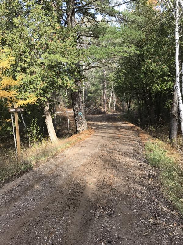
Road Approach - Left
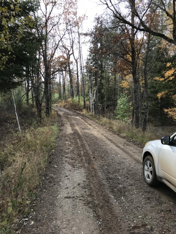
Road Approach - Right
Crossing Information
Type of Crossing: culvert(s)
Number of Structures: 1
Structure Shape: Round
Inlet Type: Wingwall 10-30 Degree
Outlet Type: At Stream Grade
Structure Material: Metal
Structure Substrate: None
General Conditions: Good
Structure Interior: corrugated
Dimensions of Structure: Length 24 ft.
, Width 5 ft.
, Height 5 ft.
Percentage Plugged:
Inlet: 0%
Outlet: 0%
In Pipe: 0%
Percentage Crushed:
Inlet: 0%
Outlet: 0%
In Pipe: 0%
Structure is NOT Perched
Structure Inlet
Water Depth: 2 ft.
Embedded Depth of Structure: 0 ft.
Water Velocity*: 1.2 ft./sec.
Structure Outlet
Water Depth: 1.7 ft.
Embedded Depth of Structure: 0 ft.
Water Velocity*: 1.2 ft./sec.
*Water Velocities were measured 0.5 ft. below Surface
(with Meter)
Additional Comments
Lat: 44-08.842'; Long: 84-33.613
Stream Information
Stream Flow: Less than 1/2 Bankfull
Scour Pool: Length 23 ft.
, Width 5 ft.
, Depth 2.3 ft.
Upstream Pond: Length 0 ft.
, Width 0 ft.
, Depth 0 ft.
Riffle Information
Water Depth: 0.5 ft.
Bankfull Width: 20 ft.
Wetted Width: 10 ft.
Water Velocity: 2.2 ft./sec.
(Measured with Meter)
Dominant Substrate: Gravel
Road Information
Gravel
State Road
(Seasonal)
Road Condition: Good
Road Width at Culvert: 17 ft.
Location of Low Point: Other
Runoff Path: Ditch
Embankments
Upstream
Fill Depth: 3 ft.
Slope: 1:2
Downstream
Fill Depth: 3 ft.
Slope: 1:2
Approaches
Left Approach
Length: 138 ft.
Slope: 1% to 5%
Vegetation: Partial
LS Factor: 0.428
Erosion: 0.2766 tons/year
Right Approach
Length: 348 ft.
Slope: 1% to 5%
Vegetation: Partial
LS Factor: 0.574
Erosion: 0.9355 tons/year
Erosion Information
Total Erosion at Crossing: 1.2121 tons/year
Summary Information
Fish Passability 0.9
Erosion is an area of concern for this site.
Historically this was an erosion site. The DNR (Gladwin) made temp. repairs and raised the roadbed and to divert runoff into ditches.
A future visit to this site is recommended. Keep track of possible erosion
�