Road Stream Crossing Site CHAR_EV19
Lake Charlevoix Watershed, Unknown
Ranney Rd
Eveline Twp,
Charlevoix County
Information collected by:
Site Location
GPS Coordinates: 45.21133
, -85.18163
T33N
R07W
Sec 32
Owned by Private
Other
Other
Structure is NOT Perched
Total Erosion: 2.8285 tons/year
Severity: Severe
Year Inventoried: 2011
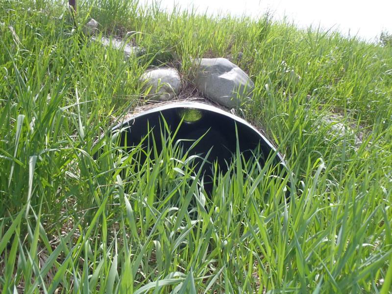
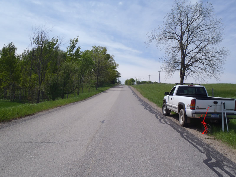
Inlet
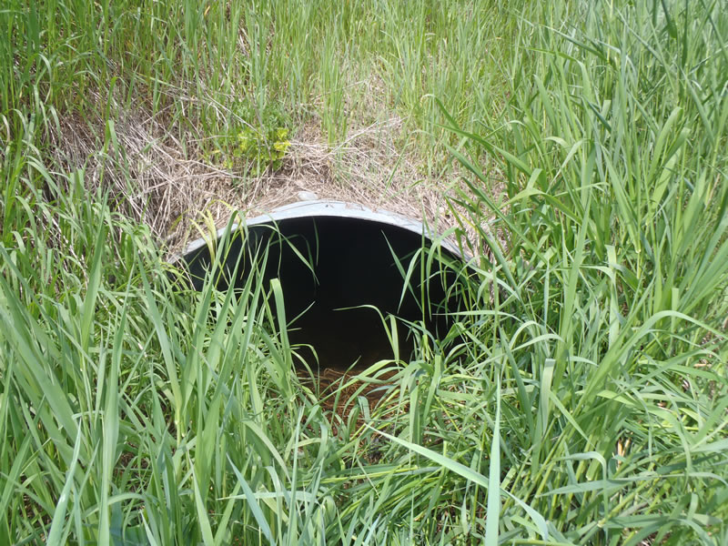
Outlet
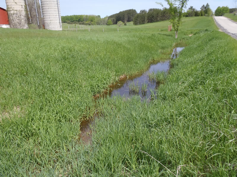
Upstream Conditions
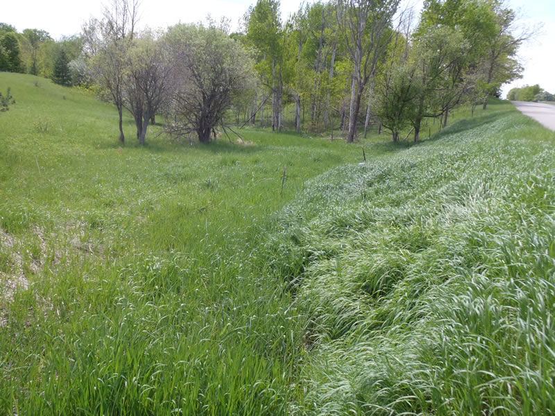
Downstream Conditions
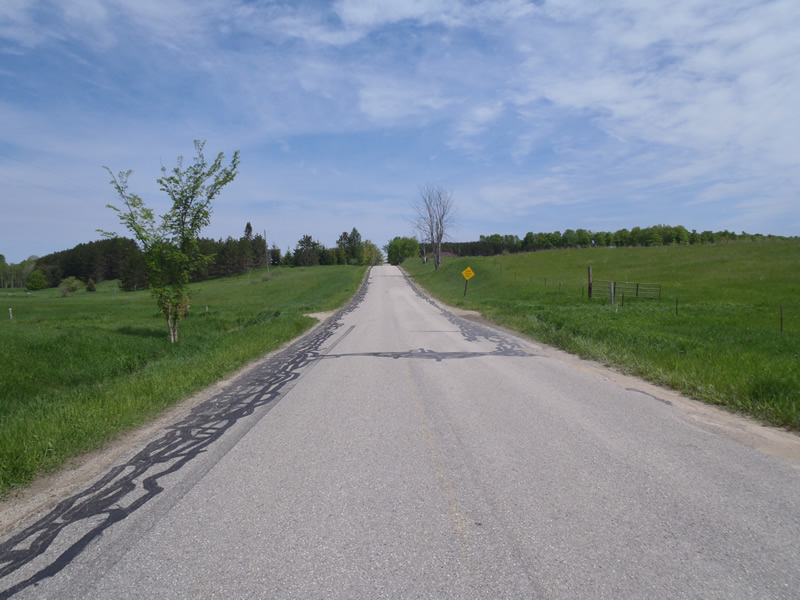
Road Approach - Left
Road Approach - Right
Crossing Information
Type of Crossing: culvert(s)
Number of Structures: 1
Structure Shape: Ellipse
Inlet Type: Projecting
Outlet Type: At Stream Grade
Structure Material: Metal
Structure Substrate: Mixture
General Conditions: Good
Structure Interior: corrugated
Dimensions of Structure: Length 45 ft.
, Width 4 ft.
, Height 3 ft.
Percentage Plugged:
Inlet: 1% to 25%
Outlet: 0%
In Pipe: 0%
Structure is NOT Perched
Structure Inlet
Water Depth: 0.12 ft.
Embedded Depth of Structure: 0 ft.
Water Velocity*: 0.05 ft./sec.
Structure Outlet
Water Depth: 0.19 ft.
Embedded Depth of Structure: 0.8 ft.
Water Velocity*: 0 ft./sec.
*Water Velocities were measured at the Surface
(with Meter)
Additional Comments
Marsh both up and downstream resulting in many braided channels.
Stream Information
Stream Flow: None
Upstream Pond: Length 90 ft.
, Width 7 ft.
, Depth 1.25 ft.
Riffle Information
Water Depth: 0.17 ft.
Bankfull Width: 3.6 ft.
Wetted Width: 2.8 ft.
Water Velocity: 0 ft./sec.
(Measured with Meter)
Dominant Substrate: Sand
Road Information
Paved
County Road
Road Condition: Good
Road Width at Culvert: 24 ft.
Location of Low Point: Other
Runoff Path: Roadway
Embankments
Upstream
Fill Depth: 4 ft.
Slope: Vertical
Downstream
Fill Depth: 4.5 ft.
Slope: Vertical
Approaches
Left Approach
Length: 795 ft.
Slope: 6% to 10%
Vegetation: Heavy
LS Factor: 1.906
Erosion: 1.202 tons/year
Right Approach
Length: 1000 ft.
Slope: 6% to 10%
Vegetation: Heavy
LS Factor: 2.05
Erosion: 1.6264 tons/year
Erosion Information
Total Erosion at Crossing: 2.8285 tons/year
Extent of Erosion: Moderate
Summary Information
Erosion is an area of concern for this site.
�