Road Stream Crossing Site CRW_005
Cedar River Watershed, North Branch Cedar River
Renas Rd (East Crossing)
Sherman Twp,
Gladwin County
Information collected by:
Site Location
GPS Coordinates: 44.089767
, -84.559117
T20N
R2W
Sec 28
Owned by Private
Fish Passability 0
Perch Height: 2 ft.
Total Erosion: 0.4707 tons/year
Severity: Severe
Year Inventoried: 2018
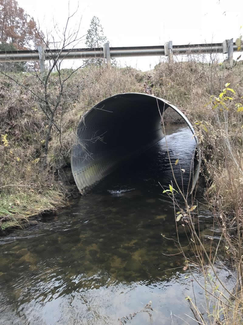
Inlet
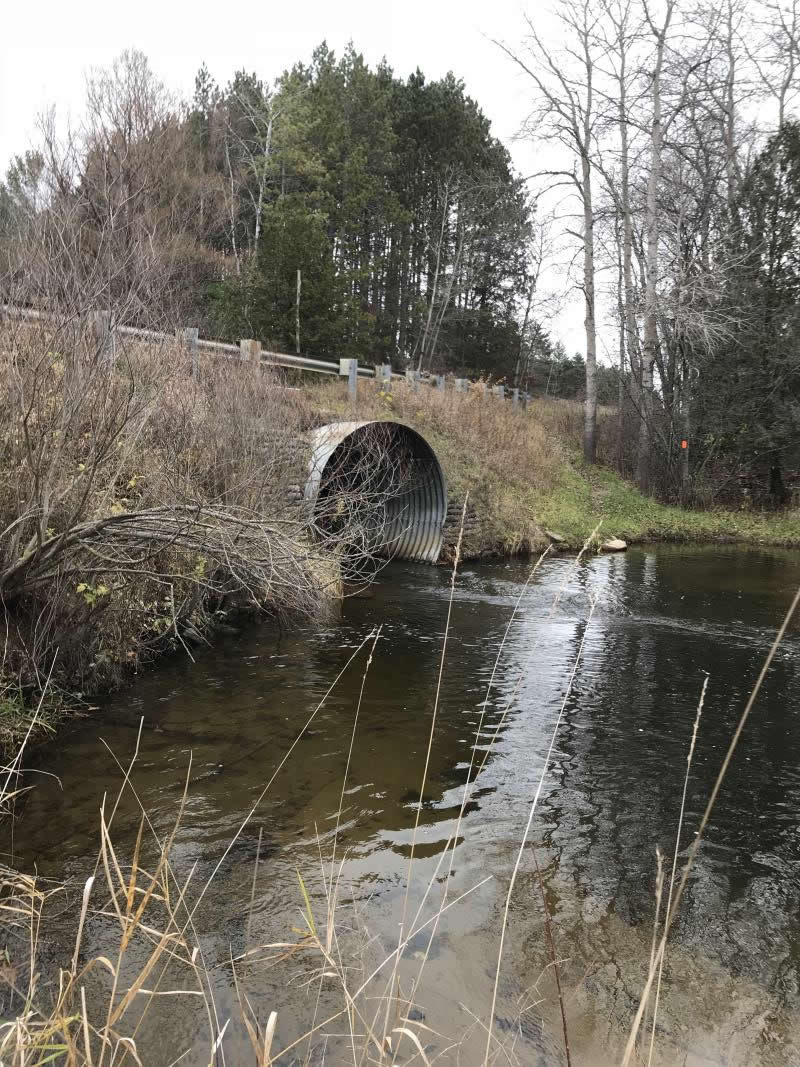
Outlet
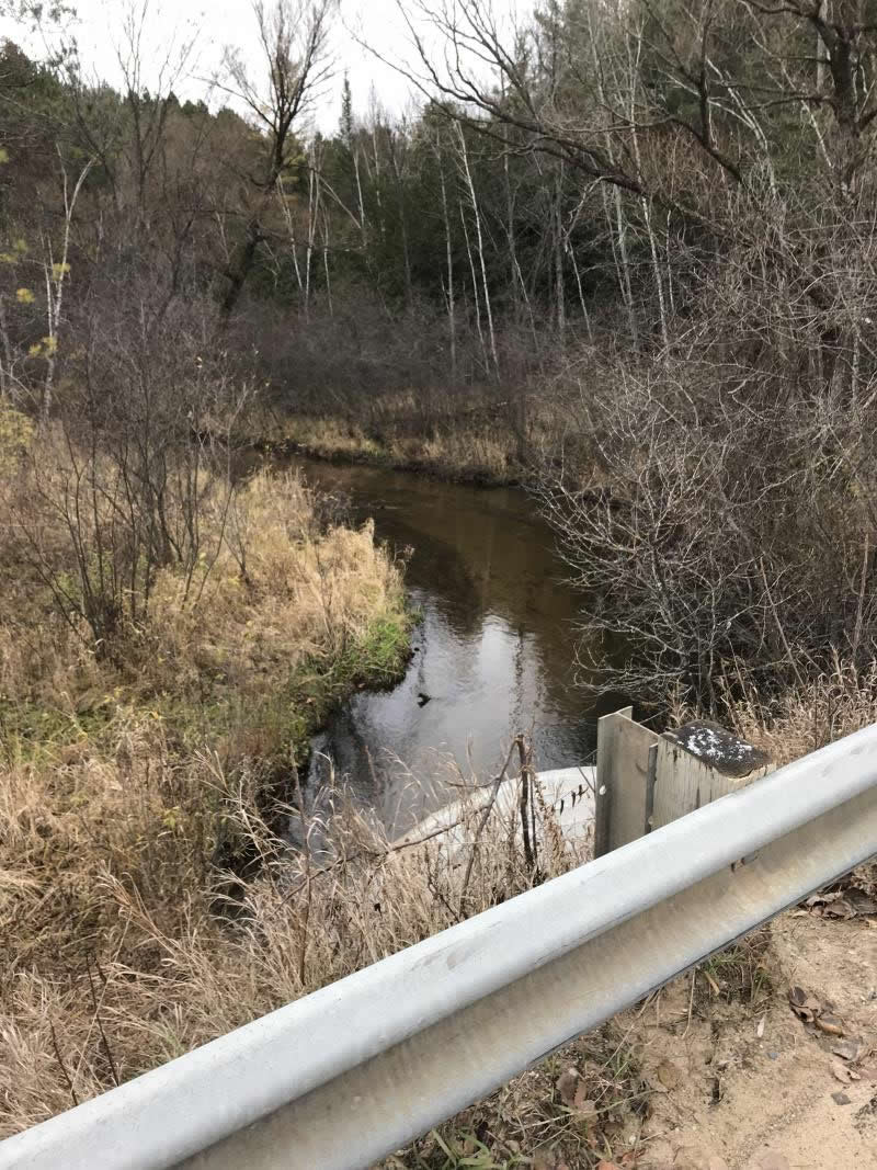
Upstream Conditions
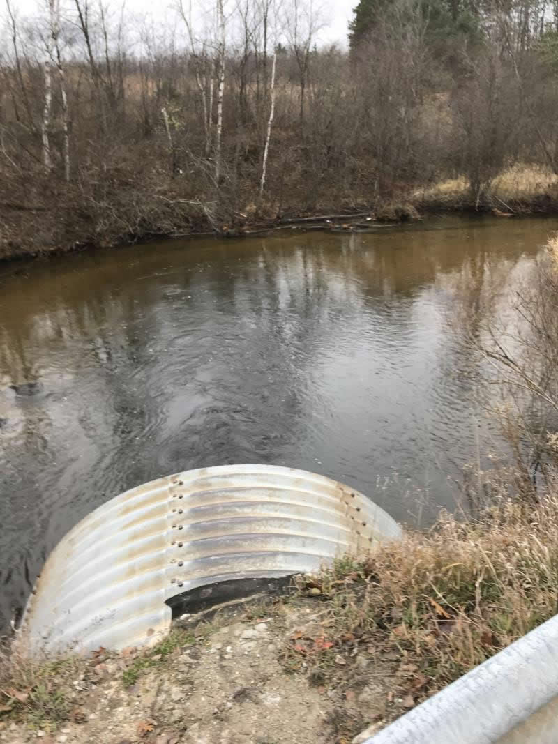
Downstream Conditions
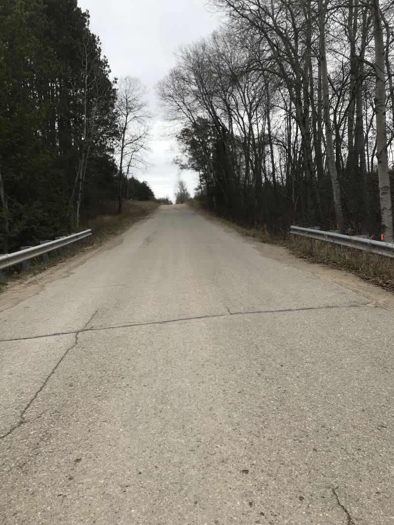
Road Approach - Left
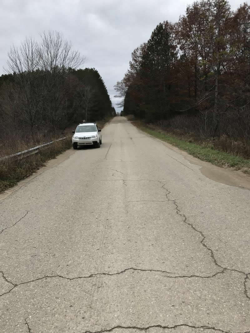
Road Approach - Right
Crossing Information
Type of Crossing: culvert(s)
Number of Structures: 1
Structure Shape: Round
Inlet Type: Projecting
Outlet Type: At Stream Grade
Structure Material: Metal
Structure Substrate: None
General Conditions: Good
Structure Interior: corrugated
Dimensions of Structure: Length 50 ft.
, Width 6 ft.
, Height 6 ft.
Percentage Plugged:
Inlet: 0%
Outlet: 0%
In Pipe: 0%
Percentage Crushed:
Inlet: 0%
Outlet: 0%
In Pipe: 0%
Perch Height: 2 ft.
Structure Inlet
Water Depth: 1.5 ft.
Embedded Depth of Structure: 0.5 ft.
Water Velocity*: 4.1 ft./sec.
Structure Outlet
Water Depth: 1.6 ft.
Embedded Depth of Structure: 0 ft.
Water Velocity*: 5 ft./sec.
*Water Velocities were measured 0.5 ft. below Surface
(with Meter)
Additional Comments
Crossing at Walt Harts Place Lat:44-05.386' Long: 84-33.547'
Crossing at Walt Harts Place
Stream Information
Stream Flow: Less than 1/2 Bankfull
Scour Pool: Length 66 ft.
, Width 33 ft.
, Depth 6 ft.
Upstream Pond: Length 0 ft.
, Width 0 ft.
, Depth 0 ft.
Riffle Information
Water Depth: 1.5 ft.
Bankfull Width: 30 ft.
Wetted Width: 22 ft.
Water Velocity: 1.8 ft./sec.
(Measured with Meter)
Dominant Substrate: Sand
Road Information
Paved
County Road
Road Condition: Good
Road Width at Culvert: 22 ft.
Location of Low Point: Other
Runoff Path: Ditch
Embankments
Upstream
Fill Depth: 2.5 ft.
Slope: Vertical
Downstream
Fill Depth: 2.5 ft.
Slope: Vertical
Approaches
Left Approach
Length: 450 ft.
Slope: 1% to 5%
Vegetation: Heavy
LS Factor: 0.49
Erosion: 0.1604 tons/year
Right Approach
Length: 780 ft.
Slope: 1% to 5%
Vegetation: Heavy
LS Factor: 0.547
Erosion: 0.3103 tons/year
Erosion Information
Total Erosion at Crossing: 0.4707 tons/year
Extent of Erosion: Minor
Notes: Road is paved 300' to right and 200' to left. Gravel beyond the paved area. Runoff is directed to ditches
Summary Information
Fish Passability 0
Fish Passage is an area of concern for this site.
Water Velocity
�