Road Stream Crossing Site CRW_006
Cedar River Watershed, North Branch Cedar River
Shearer Rd
Sherman Twp,
Gladwin County
Information collected by:
Site Location
GPS Coordinates: 44.08645
, -84.566433
T20N
R2W
Sec 33
Owned by Private
Fish Passability 0.5
Structure is NOT Perched
Total Erosion: 0.2226 tons/year
Severity: Moderate
Year Inventoried: 2018
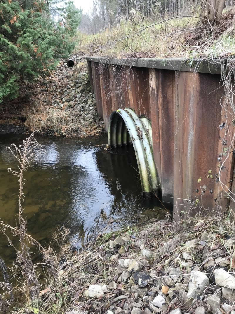
Inlet
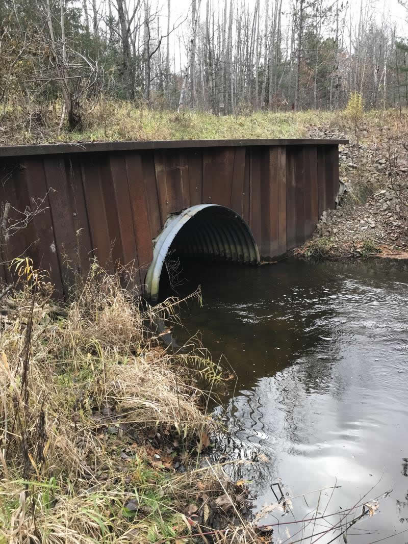
Outlet
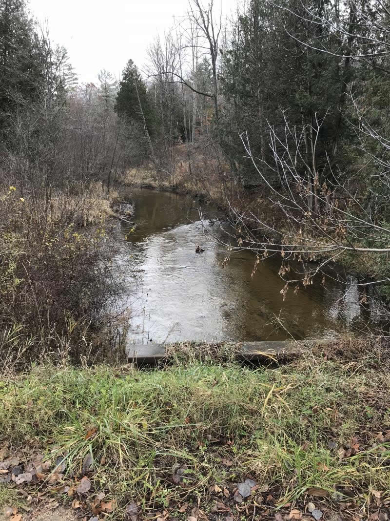
Upstream Conditions
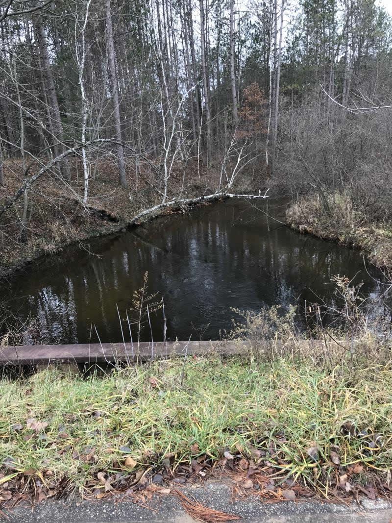
Downstream Conditions
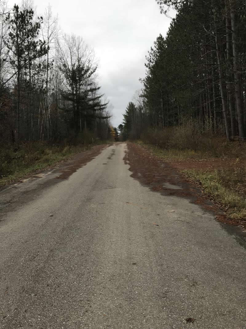
Road Approach - Left
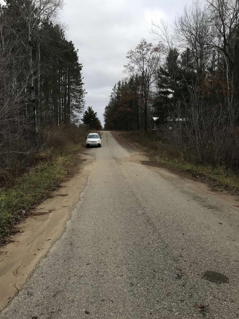
Road Approach - Right
Crossing Information
Type of Crossing: culvert(s)
Number of Structures: 1
Structure Shape: Round
Inlet Type: Headwall
Outlet Type: At Stream Grade
Structure Material: Metal
Structure Substrate: None
General Conditions: Good
Structure Interior: corrugated
Dimensions of Structure: Length 42 ft.
, Width 9 ft.
, Height 9 ft.
Percentage Plugged:
Inlet: 0%
Outlet: 0%
In Pipe: 0%
Percentage Crushed:
Inlet: 0%
Outlet: 0%
In Pipe: 0%
Structure is NOT Perched
Structure Inlet
Water Depth: 2 ft.
Embedded Depth of Structure: 0 ft.
Water Velocity*: 2.7 ft./sec.
Structure Outlet
Water Depth: 2 ft.
Embedded Depth of Structure: 0 ft.
Water Velocity*: 3 ft./sec.
*Water Velocities were measured 0.5 ft. below Surface
(with Meter)
Additional Comments
Lat: 44-05.182' Long: 84-33.986' Shellenbarger property
Stream Information
Stream Flow: Less than 1/2 Bankfull
Scour Pool: Length 70 ft.
, Width 50 ft.
, Depth 6 ft.
Upstream Pond: Length 0 ft.
, Width 0 ft.
, Depth 0 ft.
Riffle Information
Water Depth: 1 ft.
Bankfull Width: 32 ft.
Wetted Width: 20 ft.
Water Velocity: 1.2 ft./sec.
(Measured with Meter)
Dominant Substrate: Sand
Road Information
Paved
County Road
Road Condition: Good
Road Width at Culvert: 20 ft.
Location of Low Point: Other
Runoff Path: Ditch
Embankments
Upstream
Fill Depth: 6 ft.
Slope: 1:2
Downstream
Fill Depth: 6 ft.
Slope: 1:2
Approaches
Left Approach
Length: 369 ft.
Slope: 1% to 5%
Vegetation: Heavy
LS Factor: 0.474
Erosion: 0.1156 tons/year
Right Approach
Length: 345 ft.
Slope: 1% to 5%
Vegetation: Heavy
LS Factor: 0.469
Erosion: 0.107 tons/year
Erosion Information
Total Erosion at Crossing: 0.2226 tons/year
Extent of Erosion: Minor
Summary Information
Fish Passability 0.5
�