Road Stream Crossing Site CRW_007
Cedar River Watershed, North Branch Cedar River
M-18 / Wirtz Rd
Sherman Twp,
Gladwin County
Information collected by:
Site Location
GPS Coordinates: 44.075667
, -84.593167
T20N
R2W
Sec 32
Owned by Private
Fish Passability 0.5
Structure is NOT Perched
Total Erosion: 1.185 tons/year
Severity: Moderate
Year Inventoried: 2018
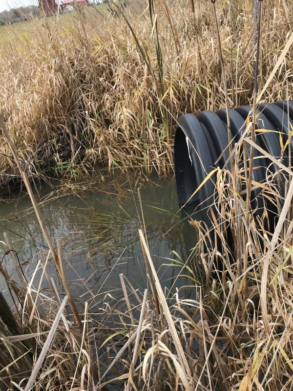
Inlet
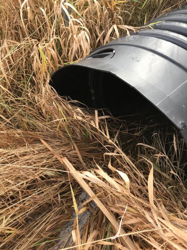
Outlet
Upstream Conditions
Downstream Conditions
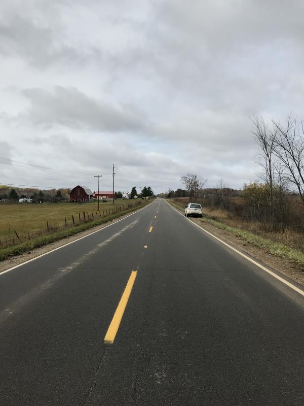
Road Approach - Left
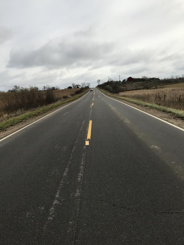
Road Approach - Right
Crossing Information
Type of Crossing: Bridge
Structure Shape: Open Bottom Square/Rectangle
Inlet Type: Headwall
Outlet Type: At Stream Grade
Structure Material: Concrete
Structure Substrate: Mixture
General Conditions: Good
Structure Interior: smooth
Dimensions of Structure: Length 43 ft.
, Width 55 ft.
, Height 13 ft.
Percentage Plugged:
Inlet: 1% to 25%
Outlet: 0%
In Pipe: 0%
Percentage Crushed:
Inlet: 0%
Outlet: 0%
In Pipe: 0%
Structure is NOT Perched
Structure Inlet
Water Depth: 1.5 ft.
Embedded Depth of Structure: 0 ft.
Water Velocity*: 2 ft./sec.
Structure Outlet
Water Depth: 0.5 ft.
Embedded Depth of Structure: 0 ft.
Water Velocity*: 2.4 ft./sec.
*Water Velocities were measured 0.3 ft. below Surface
(with Meter)
Additional Comments
Lat: 44-04.540' Long: 84-35.590' George Lane Property
Stream Information
Stream Flow: Less than 1/2 Bankfull
Scour Pool: Length 0 ft.
, Width 0 ft.
, Depth 0 ft.
Upstream Pond: Length 0 ft.
, Width 0 ft.
, Depth 0 ft.
Riffle Information
Water Depth: 1.5 ft.
Bankfull Width: 45 ft.
Wetted Width: 23 ft.
Water Velocity: 1.4 ft./sec.
(Measured with Meter)
Dominant Substrate: Gravel
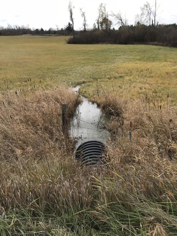
Road Information
Paved
State Road
Road Condition: Good
Road Width at Culvert: 39 ft.
Location of Low Point: Other
Runoff Path: Ditch
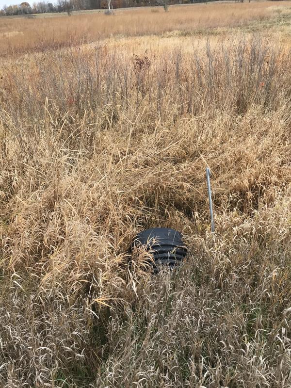
Embankments
Upstream
Fill Depth: 2.5 ft.
Slope: 1:2
Downstream
Fill Depth: 2.5 ft.
Slope: 1:2
Approaches
Left Approach
Length: 660 ft.
Slope: 1% to 5%
Vegetation: Heavy
LS Factor: 0.529
Erosion: 0.4501 tons/year
Right Approach
Length: 1000 ft.
Slope: 1% to 5%
Vegetation: Heavy
LS Factor: 0.57
Erosion: 0.7349 tons/year
Erosion Information
Total Erosion at Crossing: 1.185 tons/year
Summary Information
Fish Passability 0.5
�