Road Stream Crossing Site CRW_010
Cedar River Watershed, North Branch Cedar River
Eaton Rd
Sage Twp,
Gladwin County
Information collected by:
Site Location
GPS Coordinates: 44.0465
, -84.59955
T19N
R2W
Sec 18
Owned by Private
Fish Passability 1
Structure is NOT Perched
Total Erosion: 1.1361 tons/year
Severity: Moderate
Year Inventoried: 2018
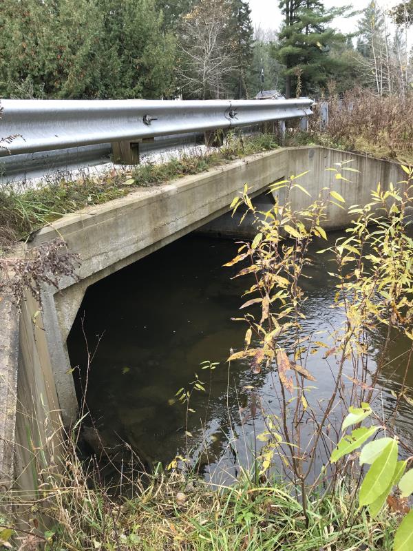
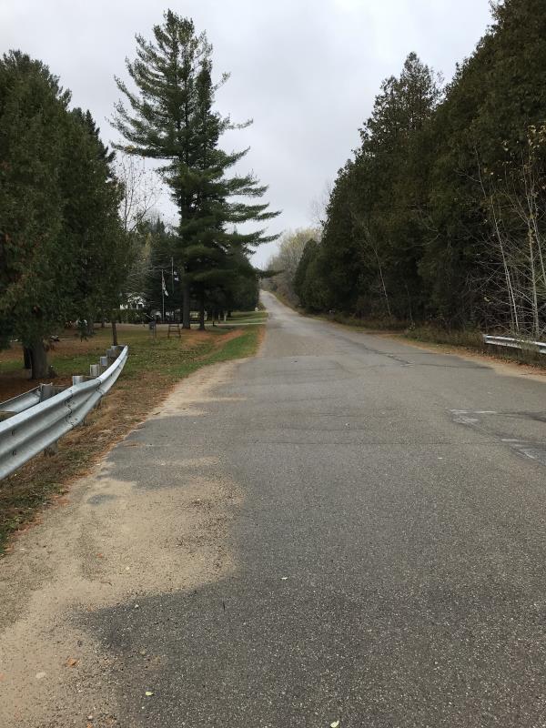
Inlet
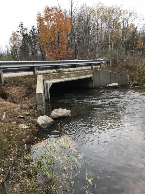
Outlet
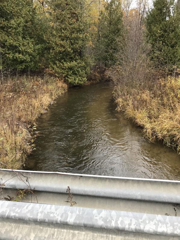
Upstream Conditions
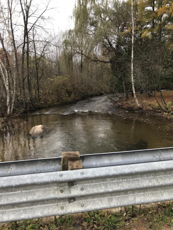
Downstream Conditions
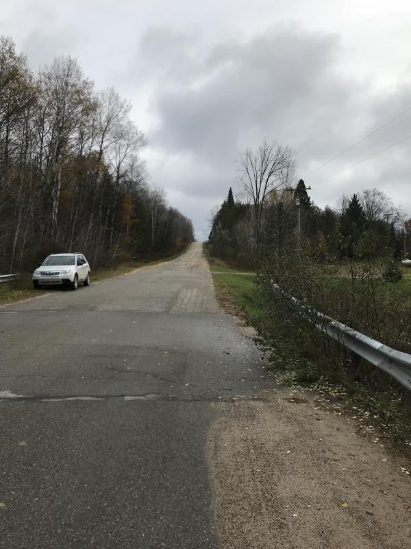
Road Approach - Left
Road Approach - Right
Crossing Information
Type of Crossing: Bridge
Structure Shape: Open Bottom Square/Rectangle
Inlet Type: Wingwall 30-70 Degree
Outlet Type: At Stream Grade
Structure Material: Concrete
Structure Substrate: Sand
General Conditions: Good
Structure Interior: smooth
Dimensions of Structure: Length 36 ft.
, Width 17 ft.
, Height 5 ft.
Percentage Plugged:
Inlet: 0%
Outlet: 0%
In Pipe: 0%
Percentage Crushed:
Inlet: 0%
Outlet: 0%
In Pipe: 0%
Structure is NOT Perched
Structure Inlet
Water Depth: 2 ft.
Embedded Depth of Structure: 0 ft.
Water Velocity*: 1.8 ft./sec.
Structure Outlet
Water Depth: 3 ft.
Embedded Depth of Structure: 0 ft.
Water Velocity*: 1.8 ft./sec.
*Water Velocities were measured 0.5 ft. below Surface
(with Meter)
Additional Comments
Lat: 44-02.790 Long 84-435.973
Stream Information
Stream Flow: Less than 1/2 Bankfull
Scour Pool: Length 0 ft.
, Width 0 ft.
, Depth 0 ft.
Upstream Pond: Length 0 ft.
, Width 0 ft.
, Depth 0 ft.
Riffle Information
Water Depth: 1.8 ft.
Bankfull Width: 24 ft.
Wetted Width: 17 ft.
Water Velocity: 2.4 ft./sec.
(Measured with Meter)
Dominant Substrate: Cobble
Road Information
Paved
County Road
Road Condition: Good
Road Width at Culvert: 32 ft.
Location of Low Point: Other
Runoff Path: Ditch
Embankments
Upstream
Fill Depth: 2.5 ft.
Slope: More than 1:2
Downstream
Fill Depth: 2.5 ft.
Slope: More than 1:2
Approaches
Left Approach
Length: 1000 ft.
Slope: 1% to 5%
Vegetation: Heavy
LS Factor: 0.57
Erosion: 0.603 tons/year
Right Approach
Length: 900 ft.
Slope: 1% to 5%
Vegetation: Heavy
LS Factor: 0.56
Erosion: 0.5332 tons/year
Erosion Information
Total Erosion at Crossing: 1.1361 tons/year
Extent of Erosion: Minor
Summary Information
Fish Passability 1
�