Road Stream Crossing Site CRW_014
Cedar River Watershed, Stoney Creek
Meredith Grade Rd
Sherman Twp,
Gladwin County
Information collected by:
Site Location
GPS Coordinates: 44.128633
, -84.53545
T20N
R2W
Sec 15
Owned by Private
Fish Passability 0
Structure is NOT Perched
Total Erosion: 0.4242 tons/year
Severity: Severe
Year Inventoried: 2018
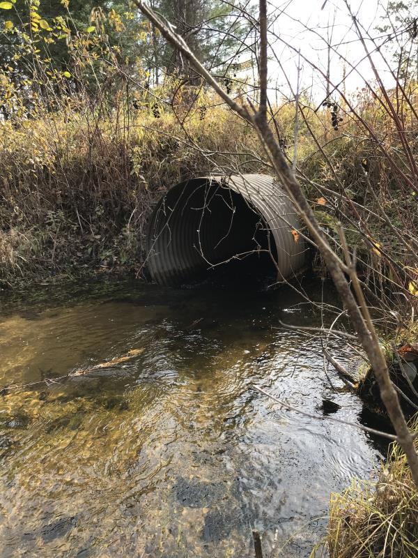
Inlet
Outlet
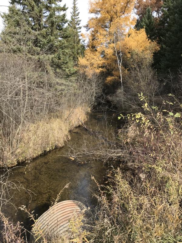
Upstream Conditions
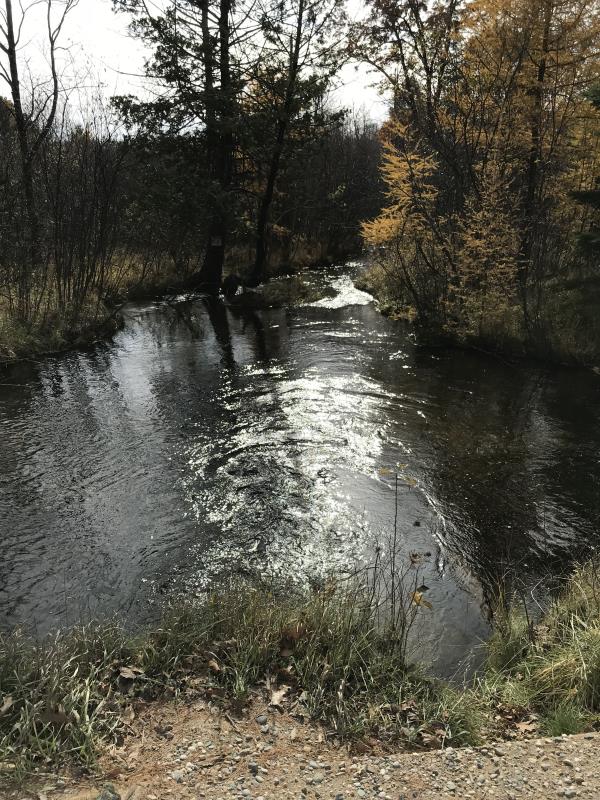
Downstream Conditions
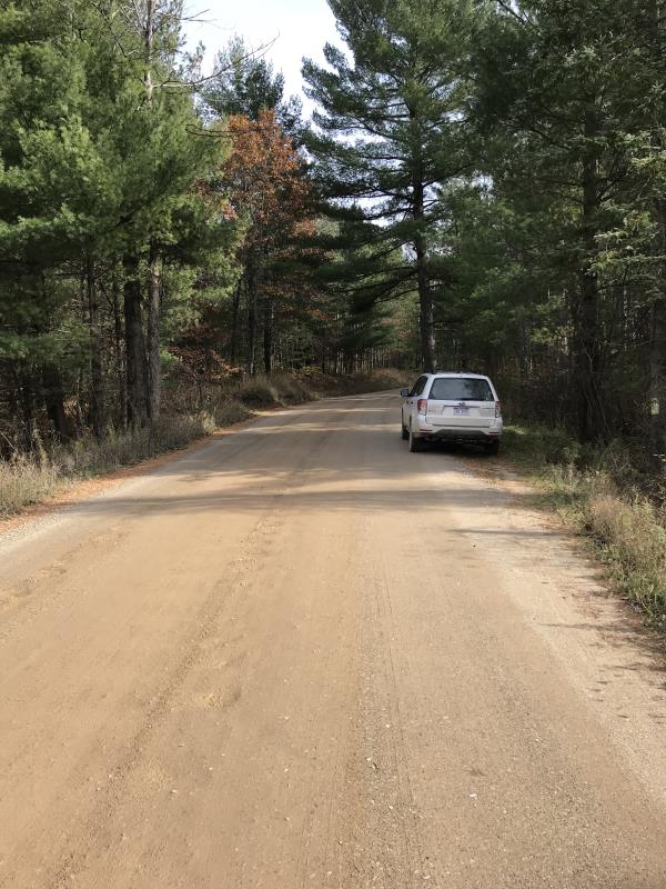
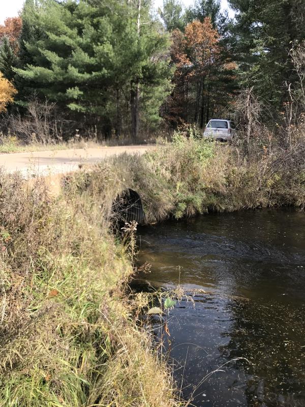
Road Approach - Left
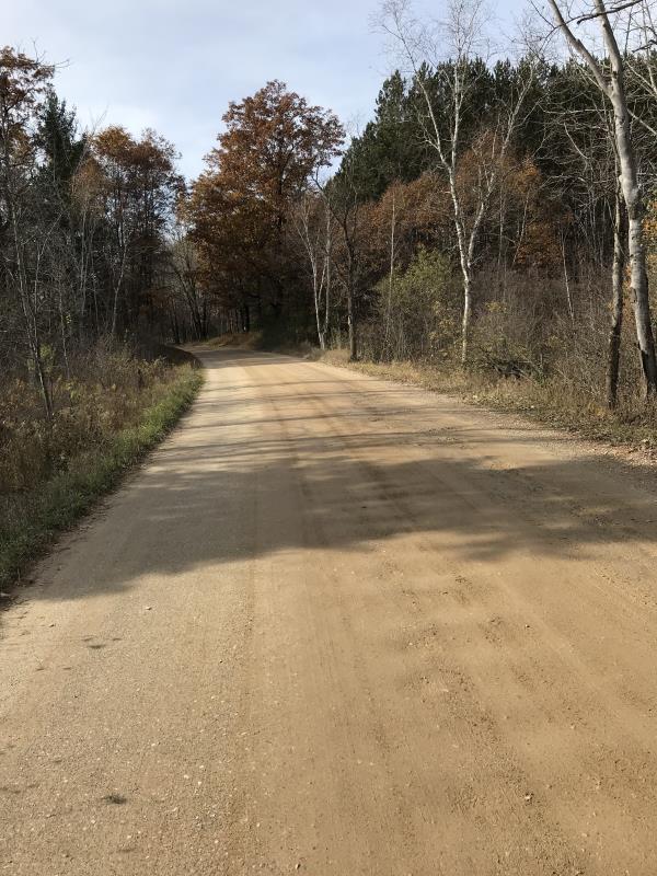
Road Approach - Right
Crossing Information
Type of Crossing: culvert(s)
Number of Structures: 1
Structure Shape: Round
Inlet Type: Projecting
Outlet Type: At Stream Grade
Structure Material: Metal
Structure Substrate: None
General Conditions: Good
Structure Interior: corrugated
Dimensions of Structure: Length 36 ft.
, Width 2.3 ft.
, Height 2.3 ft.
Percentage Plugged:
Inlet: 0%
Outlet: 0%
In Pipe: 0%
Percentage Crushed:
Inlet: 0%
Outlet: 0%
In Pipe: 0%
Structure is NOT Perched
Structure Inlet
Water Depth: 1 ft.
Embedded Depth of Structure: 0 ft.
Water Velocity*: 2.9 ft./sec.
Structure Outlet
Water Depth: 0.8 ft.
Embedded Depth of Structure: 0 ft.
Water Velocity*: 4.1 ft./sec.
*Water Velocities were measured 0.5 ft. below Surface
(with Meter)
Additional Comments
Lat: 44-07.718; Long: 84-32.127 Landowner: Rick Duran
Stream Information
Stream Flow: Less than 1/2 Bankfull
Scour Pool: Length 54 ft.
, Width 36 ft.
, Depth 4 ft.
Upstream Pond: Length 0 ft.
, Width 0 ft.
, Depth 0 ft.
Riffle Information
Water Depth: 0.8 ft.
Bankfull Width: 9 ft.
Wetted Width: 9 ft.
Water Velocity: 0.9 ft./sec.
(Measured with Meter)
Dominant Substrate: Gravel
Road Information
Gravel
County Road
Road Condition: Good
Road Width at Culvert: 22 ft.
Location of Low Point: At Stream
Runoff Path: Roadway
Embankments
Upstream
Fill Depth: 2 ft.
Slope: 1:1
Downstream
Fill Depth: 2 ft.
Slope: Vertical
Approaches
Left Approach
Length: 600 ft.
Slope: Less Than 1%
Vegetation: Heavy
LS Factor: 0.05
Erosion: 0.1818 tons/year
Right Approach
Length: 800 ft.
Slope: Less Than 1%
Vegetation: Heavy
LS Factor: 0.05
Erosion: 0.2424 tons/year
Erosion Information
Total Erosion at Crossing: 0.4242 tons/year
Extent of Erosion: Moderate
Notes: Road Bed was raised in 2014, looks like some erosion reaching stream on upstream and downstream at culvert
Location of Erosion | Erosion Dimensions | Eroded Material | Material Eroded | Total Erosion | ||
facing downstream | Length | Width | Depth | Reaching Stream? | (tons/year) | |
Left Upstream Embankment |
5 ft. |
1 ft. |
0.1 ft. |
yes |
Sand |
0.0039 |
Right Downtream Ditch |
10 ft. |
2 ft. |
0.1 ft. |
no |
Sand |
0.0077 |
Left Downstream Embankment |
2 ft. |
2 ft. |
0.1 ft. |
no |
||
Summary Information
Fish Passability 0
Fish Passage is an area of concern for this site.
Culvert appears to be undersized, erosion reaching river
NOTE: Landowner is hostile to any work on culvert or road and will fight any efforts to change
�