Road Stream Crossing Site CRW_017
Cedar River Watershed, North Branch Cedar River (Spencer Creek?)
Renas Rd
Sherman Twp,
Gladwin County
Information collected by:
Site Location
GPS Coordinates: 44.08985
, -84.564683
T20N
R2W
Sec 28
Owned by Private
Fish Passability 0
Perch Height: 3 ft.
Total Erosion: 3.3234 tons/year
Severity: Severe
Year Inventoried: 2018
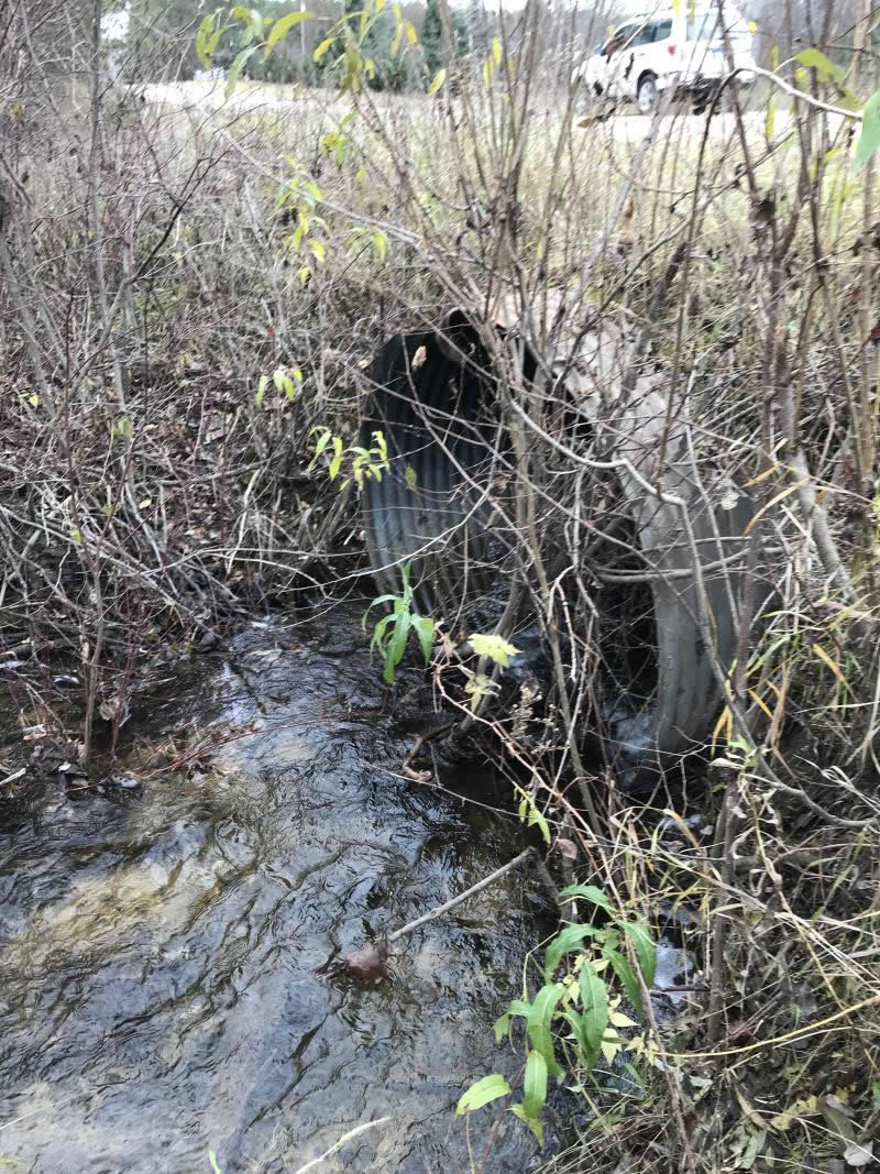
Inlet
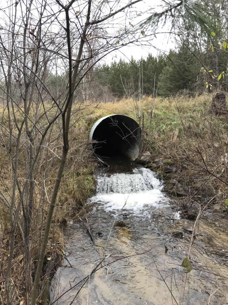
Outlet
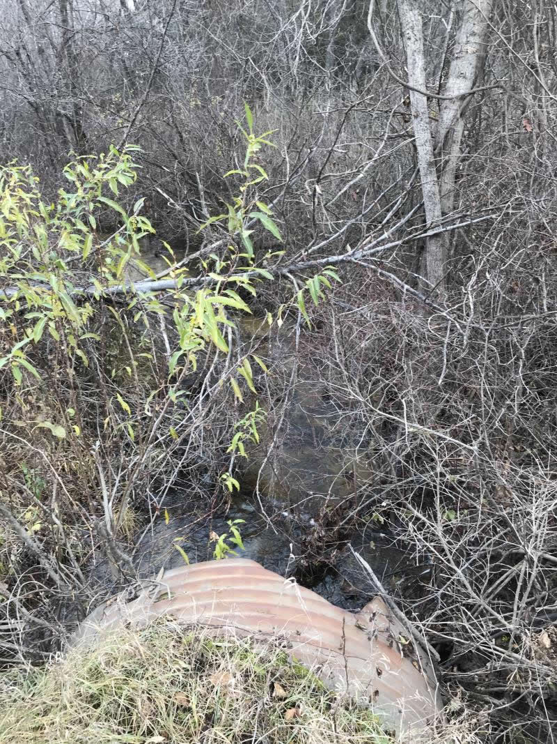
Upstream Conditions
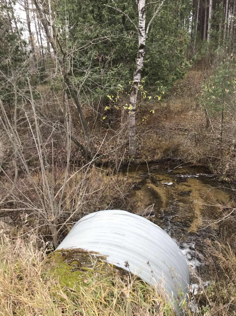
Downstream Conditions
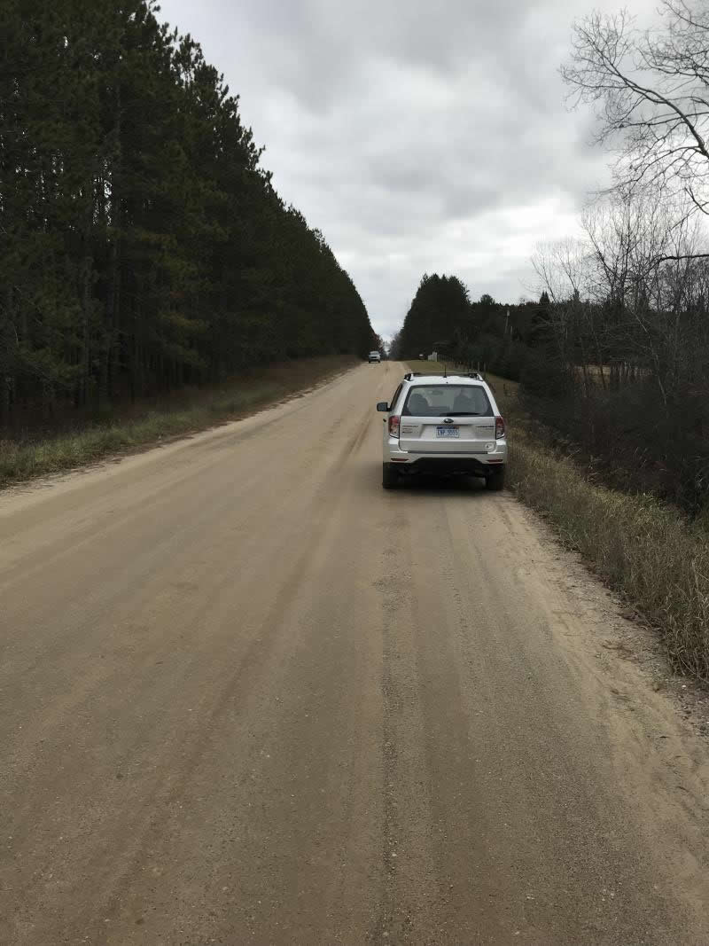
Road Approach - Left
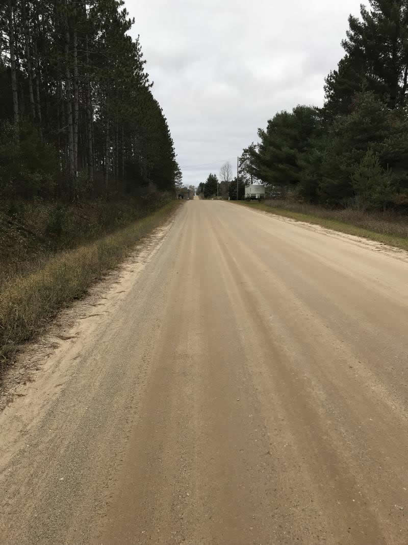
Road Approach - Right
Crossing Information
Type of Crossing: culvert(s)
Number of Structures: 1
Structure Shape: Round
Inlet Type: Projecting
Outlet Type: Freefall into Pool
Structure Material: Metal
Structure Substrate: None
General Conditions: Good
Structure Interior: corrugated
Dimensions of Structure: Length 46 ft.
, Width 6 ft.
, Height 6 ft.
Percentage Plugged:
Inlet: 0%
Outlet: 0%
In Pipe: 0%
Percentage Crushed:
Inlet: 0%
Outlet: 0%
In Pipe: 0%
Perch Height: 3 ft.
Structure Inlet
Water Depth: 0.7 ft.
Embedded Depth of Structure: 0 ft.
Water Velocity*: 2 ft./sec.
Structure Outlet
Water Depth: 0.4 ft.
Embedded Depth of Structure: 0 ft.
Water Velocity*: 3.5 ft./sec.
*Water Velocities were measured 0.5 ft. below Surface
(with Meter)
Additional Comments
Lat: 44-05.391' Long: 84-33.881'
Stream Information
Stream Flow: Less than 1/2 Bankfull
Scour Pool: Length 5 ft.
, Width 6 ft.
, Depth 1 ft.
Upstream Pond: Length 0 ft.
, Width 0 ft.
, Depth 0 ft.
Riffle Information
Water Depth: 0.5 ft.
Bankfull Width: 12 ft.
Wetted Width: 6 ft.
Water Velocity: 1.2 ft./sec.
(Measured with Meter)
Dominant Substrate: Sand
Road Information
Gravel
County Road
Road Condition: Good
Road Width at Culvert: 28 ft.
Location of Low Point: At Stream
Runoff Path: Roadway
Embankments
Upstream
Fill Depth: 1.6 ft.
Slope: Vertical
Downstream
Fill Depth: 1.6 ft.
Slope: Vertical
Approaches
Left Approach
Length: 564 ft.
Slope: 1% to 5%
Vegetation: Heavy
LS Factor: 0.513
Erosion: 2.2309 tons/year
Right Approach
Length: 300 ft.
Slope: 1% to 5%
Vegetation: Heavy
LS Factor: 0.46
Erosion: 1.0645 tons/year
Erosion Information
Total Erosion at Crossing: 3.3234 tons/year
Extent of Erosion: Moderate
Erosion is occurring and corrective actions can be installed to address the problem.
Notes: Crossing is a feeder stream to the N Branch Cedar River. Some attemps of remedial grading are being performed
Location of Erosion | Erosion Dimensions | Eroded Material | Material Eroded | Total Erosion | ||
facing downstream | Length | Width | Depth | Reaching Stream? | (tons/year) | |
Left Approach |
2 ft. |
1 ft. |
1 ft. |
yes |
Gravel |
0.014 |
Right Approach |
2 ft. |
1 ft. |
1 ft. |
yes |
Gravel |
0.014 |
Summary Information
Fish Passability 0
�