Road Stream Crossing Site CRW_019
Cedar River Watershed, McGilvory Lake Outlet
Schmidt
Sage Twp,
Gladwin County
Information collected by:
Site Location
GPS Coordinates: 44.059417
, -84.59095
T19N
R2W
Sec 6
Owned by Private
Fish Passability 0
Perch Height: 0.5 ft.
Total Erosion: 0.1568 tons/year
Severity: Severe
Year Inventoried: 2018
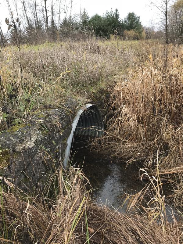
Inlet
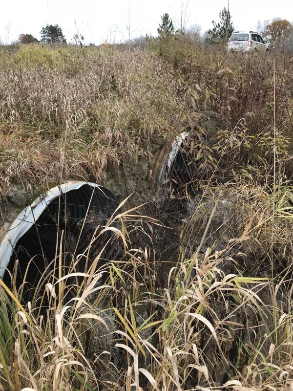
Outlet
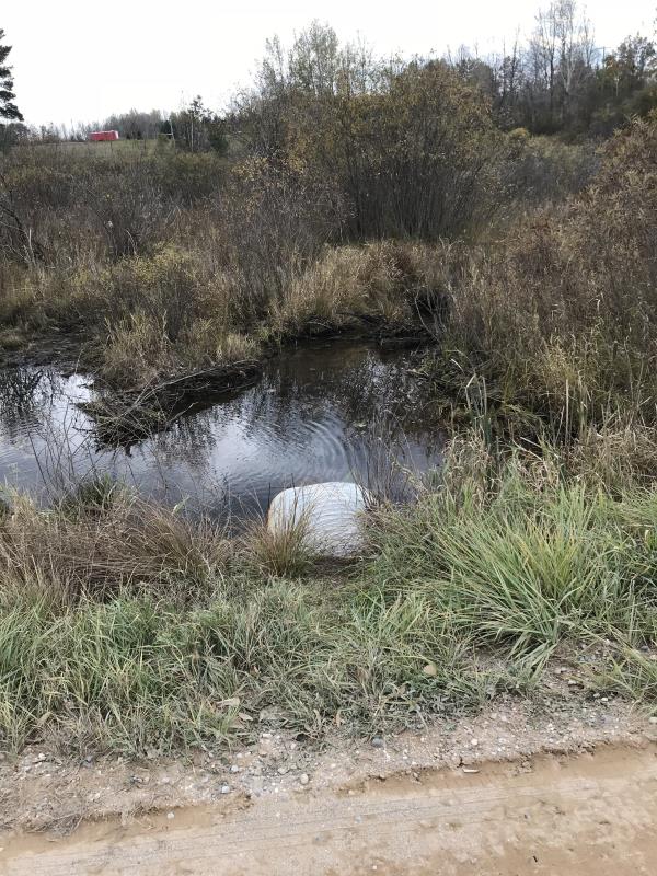
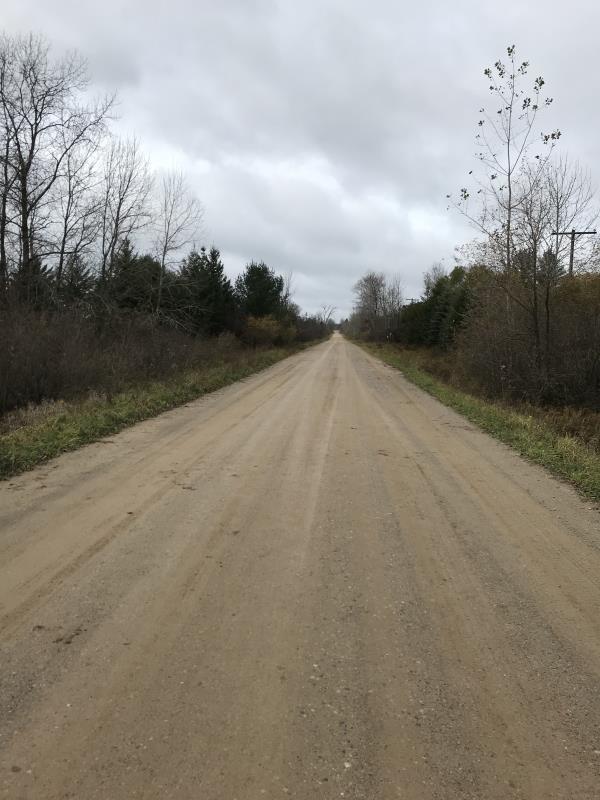
Upstream Conditions
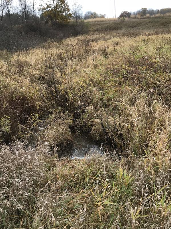
Downstream Conditions
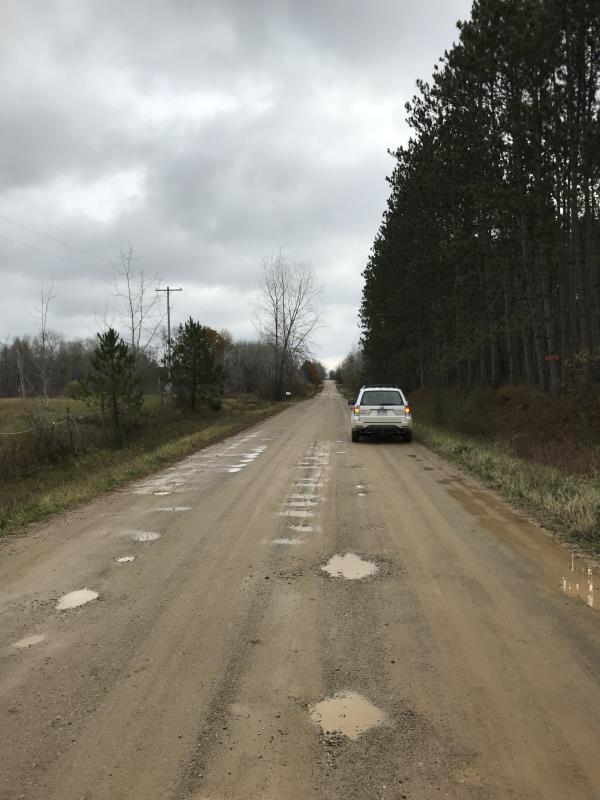
Road Approach - Left
Road Approach - Right
Crossing Information
Type of Crossing: culvert(s)
Number of Structures: 2
Structure Shape: Ellipse
Inlet Type: Headwall
Outlet Type: Freefall into Pool
Structure Material: Metal
Structure Substrate: None
General Conditions: Good
Multiple Culverts/Spans | ||||
Culvert/Span | Width | Length | Height | Material |
1 |
4.5 ft. |
50 ft. |
3 ft. |
Metal |
2 |
4.5 ft. |
50 ft. |
3 ft. |
Metal |
Structure Interior: corrugated
Dimensions of Structure: Length 50 ft.
, Width 3 ft.
, Height 2.5 ft.
Percentage Plugged:
Inlet: 0%
Outlet: 0%
In Pipe: 0%
Percentage Crushed:
Inlet: 0%
Outlet: 0%
In Pipe: 0%
Perch Height: 0.5 ft.
Structure Inlet
Water Depth: 0.2 ft.
Embedded Depth of Structure: 0 ft.
Water Velocity*: 0.1 ft./sec.
Structure Outlet
Water Depth: 0.2 ft.
Embedded Depth of Structure: 0 ft.
Water Velocity*: 0.1 ft./sec.
*Water Velocities were measured 0.5 ft. below Surface
(with Meter)
Additional Comments
Lat: 44-03.565 Long: 84-35.457
Stream Information
Stream Flow: Less than 1/2 Bankfull
Scour Pool: Length 3 ft.
, Width 3 ft.
, Depth 0.5 ft.
Upstream Pond: Length 0 ft.
, Width 0 ft.
, Depth 0 ft.
Riffle Information
Water Depth: 0 ft.
Bankfull Width: 0 ft.
Wetted Width: 0 ft.
Water Velocity: 0 ft./sec.
(Measured with Meter)
Dominant Substrate: Sand
Road Information
Gravel
County Road
Road Condition: Good
Road Width at Culvert: 23 ft.
Location of Low Point: Other
Runoff Path: Ditch
Embankments
Upstream
Fill Depth: 2.5 ft.
Slope: 1:1.5
Downstream
Fill Depth: 2.5 ft.
Slope: 1:1.5
Approaches
Left Approach
Length: 300 ft.
Slope: Less Than 1%
Vegetation: Heavy
LS Factor: 0.05
Erosion: 0.095 tons/year
Right Approach
Length: 195 ft.
Slope: Less Than 1%
Vegetation: Heavy
LS Factor: 0.05
Erosion: 0.0618 tons/year
Erosion Information
Total Erosion at Crossing: 0.1568 tons/year
Extent of Erosion: Minor
Notes: Minor site Not an issue
Summary Information
Fish Passability 0
�