Road Stream Crossing Site CRW_022
Cedar River Watershed, Middle Branch Cedar River
Little George Lake Rd
Franklin Twp,
Clare County
Information collected by:
Site Location
GPS Coordinates: 44.122647
, -84.613821
T19N
R2W
Sec 13
Owned by Private
Perch Height: 0.5 ft.
Total Erosion: 0.2902 tons/year
Severity: Severe
Year Inventoried: 2018
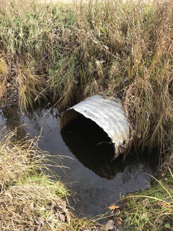
Inlet
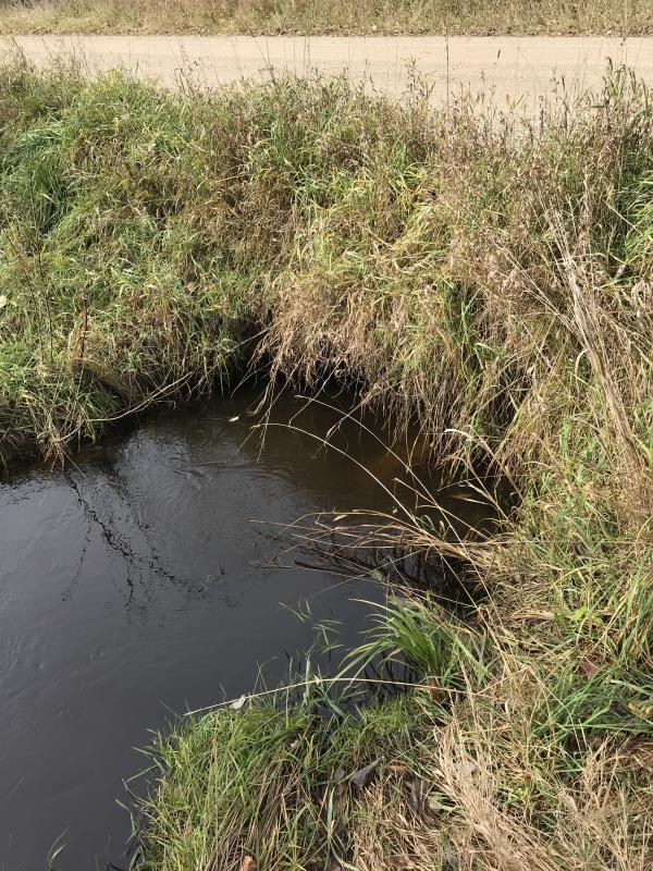
Outlet
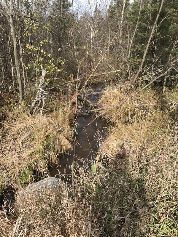
Upstream Conditions
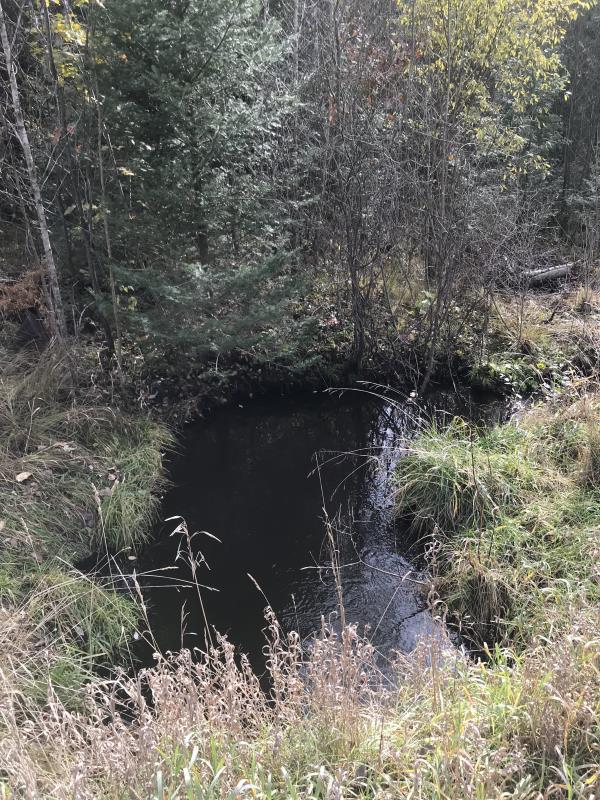
Downstream Conditions
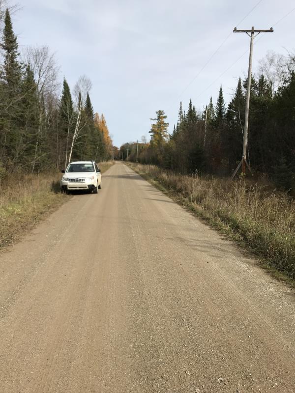
Road Approach - Left
Road Approach - Right
Crossing Information
Type of Crossing: culvert(s)
Number of Structures: 1
Structure Shape: Ellipse
Inlet Type: Projecting
Outlet Type: At Stream Grade
Structure Material: Metal
Structure Substrate: None
General Conditions: Poor
Structure Interior: corrugated
Dimensions of Structure: Length 29 ft.
, Width 2.6 ft.
, Height 2.3 ft.
Percentage Plugged:
Inlet: 0%
Outlet: 0%
In Pipe: 0%
Percentage Crushed:
Inlet: 26% to 50%
Outlet: 26% to 50%
In Pipe: 26% to 50%
Perch Height: 0.5 ft.
Structure Inlet
Water Depth: 0.4 ft.
Embedded Depth of Structure: 0 ft.
Water Velocity*: 0.8 ft./sec.
Structure Outlet
Water Depth: 0.4 ft.
Embedded Depth of Structure: 0 ft.
Water Velocity*: 2.4 ft./sec.
*Water Velocities were measured at the Surface
(with Meter)
Additional Comments
Lat: 44-07.365 Long: 84-35.832
Stream Information
Stream Flow: Less than Bankfull
Scour Pool: Length 15 ft.
, Width 7 ft.
, Depth 1.5 ft.
Upstream Pond: Length 0 ft.
, Width 0 ft.
, Depth 0 ft.
Riffle Information
Water Depth: 0.5 ft.
Bankfull Width: 6.5 ft.
Wetted Width: 4.5 ft.
Water Velocity: 0.6 ft./sec.
(Measured with Meter)
Dominant Substrate: Sand
Road Information
Gravel
County Road
Road Condition: Good
Road Width at Culvert: 16 ft.
Location of Low Point: At Stream
Runoff Path: Ditch
Embankments
Upstream
Fill Depth: 2 ft.
Slope: Vertical
Downstream
Fill Depth: 2 ft.
Slope: Vertical
Approaches
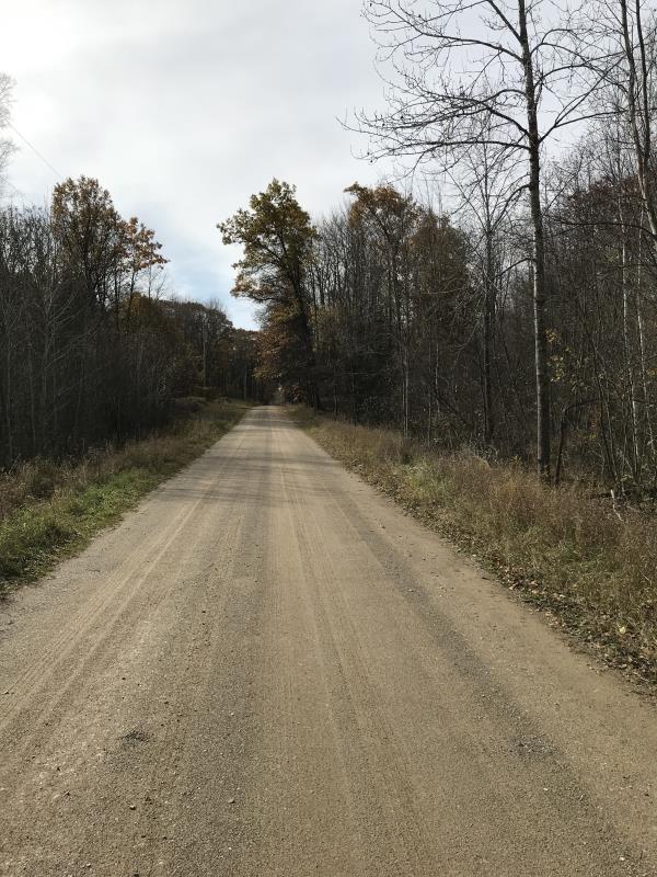
Left Approach
Length: 795 ft.
Slope: Less Than 1%
Vegetation: Heavy
LS Factor: 0.05
Erosion: 0.1752 tons/year
Right Approach
Length: 522 ft.
Slope: Less Than 1%
Vegetation: Heavy
LS Factor: 0.05
Erosion: 0.115 tons/year
Erosion Information
Total Erosion at Crossing: 0.2902 tons/year
Extent of Erosion: Minor
Summary Information
Fish Passage is an area of concern for this site.
Crushed Culver is speeding up flow
A future visit to this site is recommended.
Replace culvert
�