Road Stream Crossing Site CRW_023
Cedar River Watershed, Middle Branch Cedar river
Long Lake Rd
Franklin Twp,
Clare County
Information collected by:
Site Location
GPS Coordinates: 44.105317
, -84.618683
T20N
R3W
Sec 25
Owned by Private
Fish Passability 0
Perch Height: 0.9 ft.
Total Erosion: 0.2598 tons/year
Severity: Severe
Year Inventoried: 2018
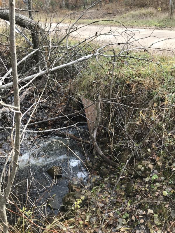
Inlet
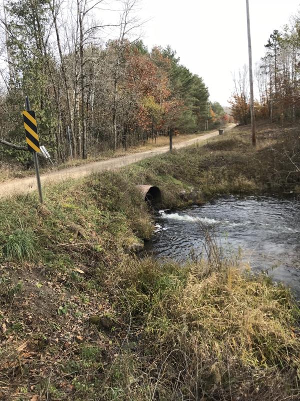
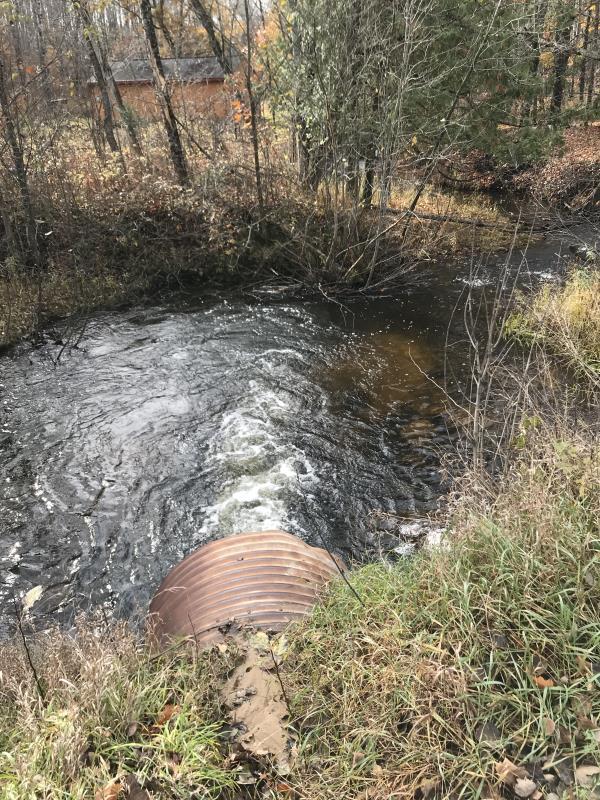
Outlet
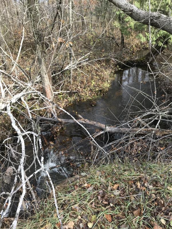
Upstream Conditions
Downstream Conditions
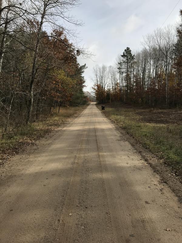
Road Approach - Left
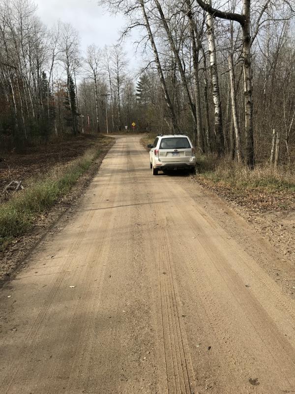
Road Approach - Right
Crossing Information
Type of Crossing: culvert(s)
Number of Structures: 1
Structure Shape: Round
Inlet Type: Projecting
Outlet Type: Freefall into Pool
Structure Material: Metal
Structure Substrate: None
General Conditions: Good
Structure Interior: corrugated
Dimensions of Structure: Length 31 ft.
, Width 4 ft.
, Height 4 ft.
Percentage Plugged:
Inlet: 0%
Outlet: 0%
In Pipe: 0%
Percentage Crushed:
Inlet: 0%
Outlet: 0%
In Pipe: 0%
Perch Height: 0.9 ft.
Structure Inlet
Water Depth: 0.3 ft.
Embedded Depth of Structure: 1.5 ft.
Water Velocity*: 3 ft./sec.
Structure Outlet
Water Depth: 0.3 ft.
Embedded Depth of Structure: 1.5 ft.
Water Velocity*: 3 ft./sec.
*Water Velocities were measured at the Surface
(with Float Test)
Additional Comments
Lat: 44-06.319' Long: 84-37.121'
Stream Information
Stream Flow: Less than Bankfull
Scour Pool: Length 33 ft.
, Width 28 ft.
, Depth 4 ft.
Upstream Pond: Length 0 ft.
, Width 0 ft.
, Depth 0 ft.
Riffle Information
Water Depth: 0.3 ft.
Bankfull Width: 20 ft.
Wetted Width: 10 ft.
Water Velocity: 1 ft./sec.
(Measured with Float Test)
Dominant Substrate: Gravel
Road Information
Gravel
County Road
Road Condition: Good
Road Width at Culvert: 16 ft.
Location of Low Point: At Stream
Runoff Path: Roadway
Embankments
Upstream
Fill Depth: 1.5 ft.
Slope: Vertical
Downstream
Fill Depth: 1.5 ft.
Slope: Vertical
Approaches
Left Approach
Length: 900 ft.
Slope: Less Than 1%
Vegetation: Heavy
LS Factor: 0.05
Erosion: 0.1983 tons/year
Right Approach
Length: 279 ft.
Slope: Less Than 1%
Vegetation: Heavy
LS Factor: 0.05
Erosion: 0.0615 tons/year
Erosion Information
Total Erosion at Crossing: 0.2598 tons/year
Summary Information
Fish Passability 0
Fish Passage is an area of concern for this site.
No fish passage
A future visit to this site is recommended. No fish passage perched outflow
�