Road Stream Crossing Site CRW_026
Cedar River Watershed, Middle Branch Cedar River
Trout Ave.
Franklin Twp,
Clare County
Information collected by:
Site Location
GPS Coordinates: 44.075467
, -84.61695
T19N
R3W
Sec 1
Owned by Private
Fish Passability 0.9
Structure is NOT Perched
Total Erosion: 0.1261 tons/year
Severity: Moderate
Year Inventoried: 2018
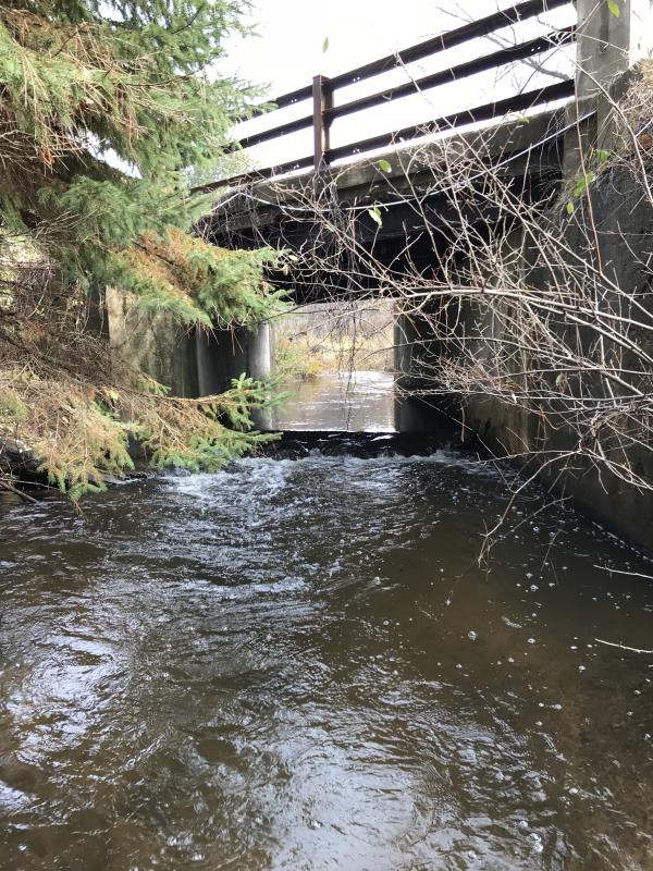
Inlet
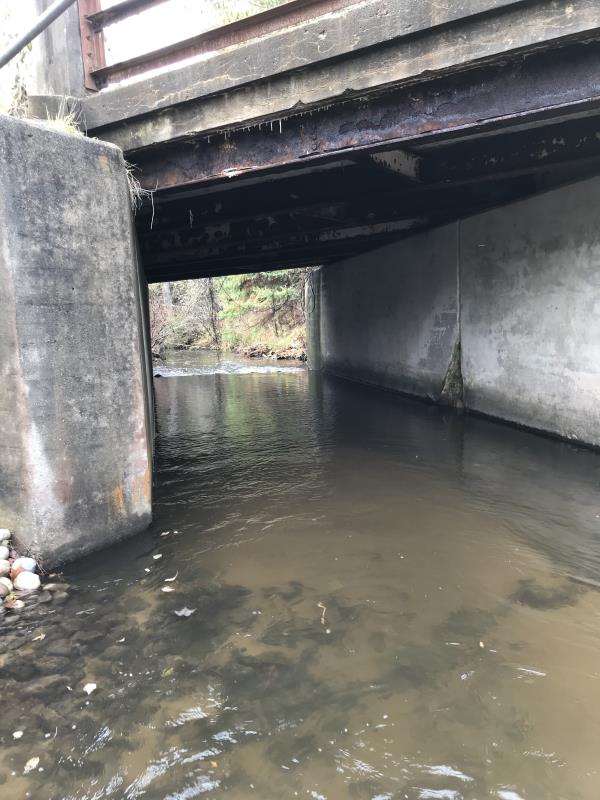
Outlet
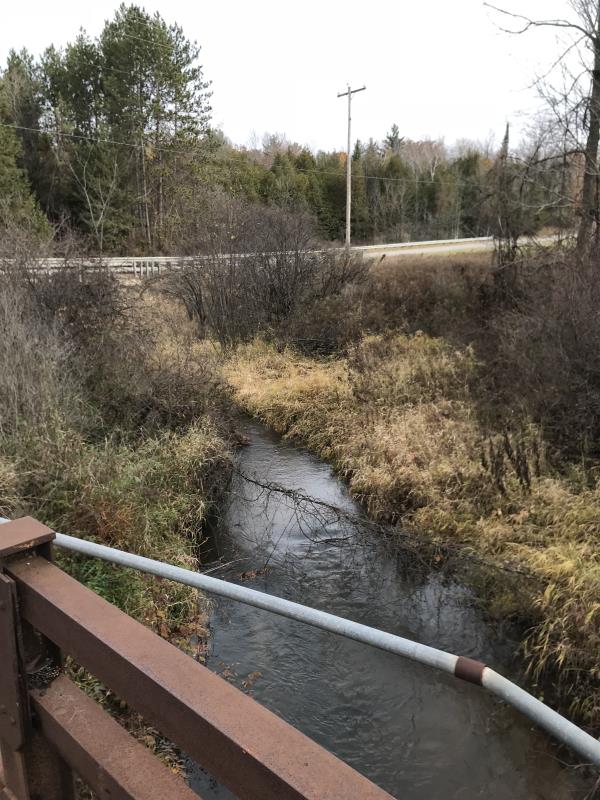
Upstream Conditions
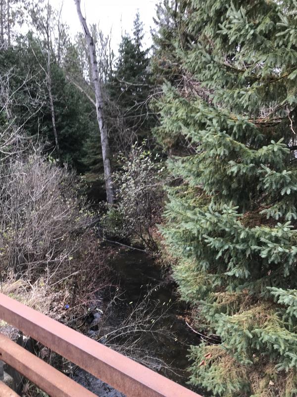
Downstream Conditions
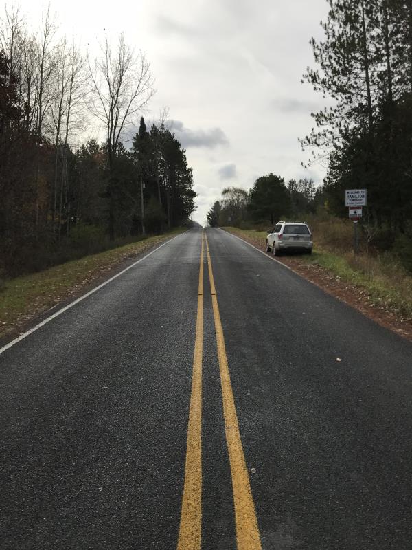
Road Approach - Left
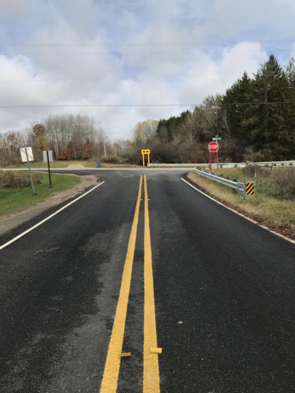
Road Approach - Right
Crossing Information
Type of Crossing: Bridge
Structure Shape: Open Bottom Square/Rectangle
Inlet Type: Wingwall 30-70 Degree
Outlet Type: Cascade over Riprap
Structure Material: Concrete
Structure Substrate: Sand
General Conditions: Fair
Structure Interior: smooth
Dimensions of Structure: Length 44 ft.
, Width 11 ft.
, Height 10 ft.
Percentage Plugged:
Inlet: 0%
Outlet: 0%
In Pipe: 0%
Percentage Crushed:
Inlet: 0%
Outlet: 0%
In Pipe: 0%
Structure is NOT Perched
Structure Inlet
Water Depth: 2 ft.
Embedded Depth of Structure: 0 ft.
Water Velocity*: 1 ft./sec.
Structure Outlet
Water Depth: 0.5 ft.
Embedded Depth of Structure: 0 ft.
Water Velocity*: 1 ft./sec.
*Water Velocities were measured at the Surface
(with Float Test)
Additional Comments
Lat; 44-04.528, Long: 84-37.017
Stream Information
Stream Flow: Less than 1/2 Bankfull
Scour Pool: Length 22 ft.
, Width 16 ft.
, Depth 2.1 ft.
Upstream Pond: Length 0 ft.
, Width 0 ft.
, Depth 0 ft.
Riffle Information
Water Depth: 0.8 ft.
Bankfull Width: 30 ft.
Wetted Width: 11 ft.
Water Velocity: 1 ft./sec.
(Measured with Float Test)
Dominant Substrate: Cobble
Road Information
Paved
County Road
Road Condition: Good
Road Width at Culvert: 23 ft.
Location of Low Point: At Stream
Embankments
Upstream
Fill Depth: 1.2 ft.
Slope: Vertical
Downstream
Fill Depth: 1.2 ft.
Slope: Vertical
Approaches
Left Approach
Length: 342 ft.
Slope: 1% to 5%
Vegetation: Heavy
LS Factor: 0.468
Erosion: 0.1218 tons/year
Right Approach
Length: 114 ft.
Slope: Less Than 1%
Vegetation: Heavy
LS Factor: 0.05
Erosion: 0.0043 tons/year
Erosion Information
Total Erosion at Crossing: 0.1261 tons/year
Extent of Erosion: Minor
Notes: Very little erosion noted
Summary Information
Fish Passability 0.9
�