Road Stream Crossing Site CRW_027
Cedar River Watershed, Middle Branch Cedar River
Stockwell Rd
Hamilton Twp,
Clare County
Information collected by:
Site Location
GPS Coordinates: 44.06095
, -84.630367
T19N
R3W
Sec 2
Owned by Private
Fish Passability 1
Structure is NOT Perched
Total Erosion: 0.5014 tons/year
Severity: Moderate
Year Inventoried: 2018
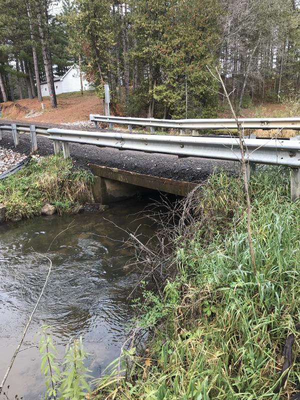
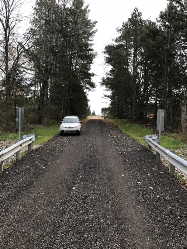
Inlet
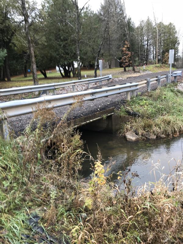
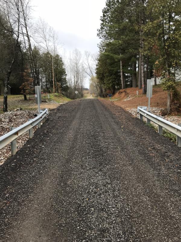
Outlet
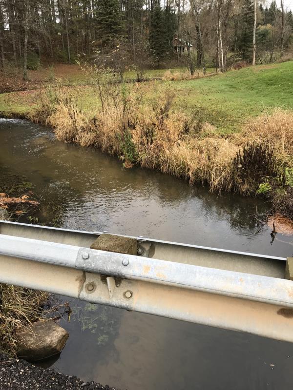
Upstream Conditions
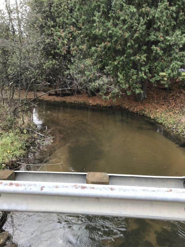
Downstream Conditions
Road Approach - Left
Road Approach - Right
Crossing Information
Type of Crossing: Bridge
Structure Shape: Open Bottom Square/Rectangle
Inlet Type: Wingwall 10-30 Degree
Outlet Type: At Stream Grade
Structure Material: Concrete
Structure Substrate: Sand
General Conditions: Good
Structure Interior: smooth
Dimensions of Structure: Length 16 ft.
, Width 12 ft.
, Height 3 ft.
Percentage Plugged:
Inlet: 0%
Outlet: 0%
In Pipe: 0%
Percentage Crushed:
Inlet: 0%
Outlet: 0%
In Pipe: 0%
Structure is NOT Perched
Structure Inlet
Water Depth: 1.6 ft.
Embedded Depth of Structure: 0 ft.
Water Velocity*: 1.2 ft./sec.
Structure Outlet
Water Depth: 1.4 ft.
Embedded Depth of Structure: 0 ft.
Water Velocity*: 0.6 ft./sec.
*Water Velocities were measured 0.5 ft. below Surface
(with Meter)
Additional Comments
Lat: 44-03.657 Long: 84-37.822
Stream Information
Stream Flow: Less than 1/2 Bankfull
Scour Pool: Length 0 ft.
, Width 0 ft.
, Depth 0 ft.
Upstream Pond: Length 0 ft.
, Width 0 ft.
, Depth 0 ft.
Riffle Information
Water Depth: 1 ft.
Bankfull Width: 20 ft.
Wetted Width: 15 ft.
Water Velocity: 0.4 ft./sec.
(Measured with Meter)
Dominant Substrate: Sand
Road Information
Gravel
County Road
Road Condition: Fair
Road Width at Culvert: 12 ft.
Location of Low Point: At Stream
Runoff Path: Roadway
Embankments
Upstream
Fill Depth: 1.3 ft.
Slope: Vertical
Downstream
Fill Depth: 1.3 ft.
Slope: Vertical
Approaches
Left Approach
Length: 210 ft.
Slope: 1% to 5%
Vegetation: Partial
LS Factor: 0.488
Erosion: 0.3388 tons/year
Right Approach
Length: 120 ft.
Slope: 1% to 5%
Vegetation: Partial
LS Factor: 0.41
Erosion: 0.1626 tons/year
Erosion Information
Total Erosion at Crossing: 0.5014 tons/year
Extent of Erosion: Severe
Notes: Ditches are doing little to stem erosion
Location of Erosion | Erosion Dimensions | Eroded Material | Material Eroded | Total Erosion | ||
facing downstream | Length | Width | Depth | Reaching Stream? | (tons/year) | |
Left Approach |
210 ft. |
12 ft. |
no |
Gravel |
||
Right Approach |
120 ft. |
12 ft. |
no |
Gravel |
||
Summary Information
Fish Passability 1
Erosion is an area of concern for this site.
Sever Erosion Road directs erosion to river. Site is subject to overflow
A future visit to this site is recommended. Erosion
�