Road Stream Crossing Site CRW_029A
Cedar River Watershed, Middle Branch Cedar River
Cranberry Lake Rd
Hamilton Twp,
Clare County
Information collected by:
Site Location
GPS Coordinates: 44.0464
, -84.634167
T19N
R3W
Sec 11
Owned by Private
Fish Passability 0.5
Structure is NOT Perched
Total Erosion: 0.0969 tons/year
Severity: Moderate
Year Inventoried: 2018
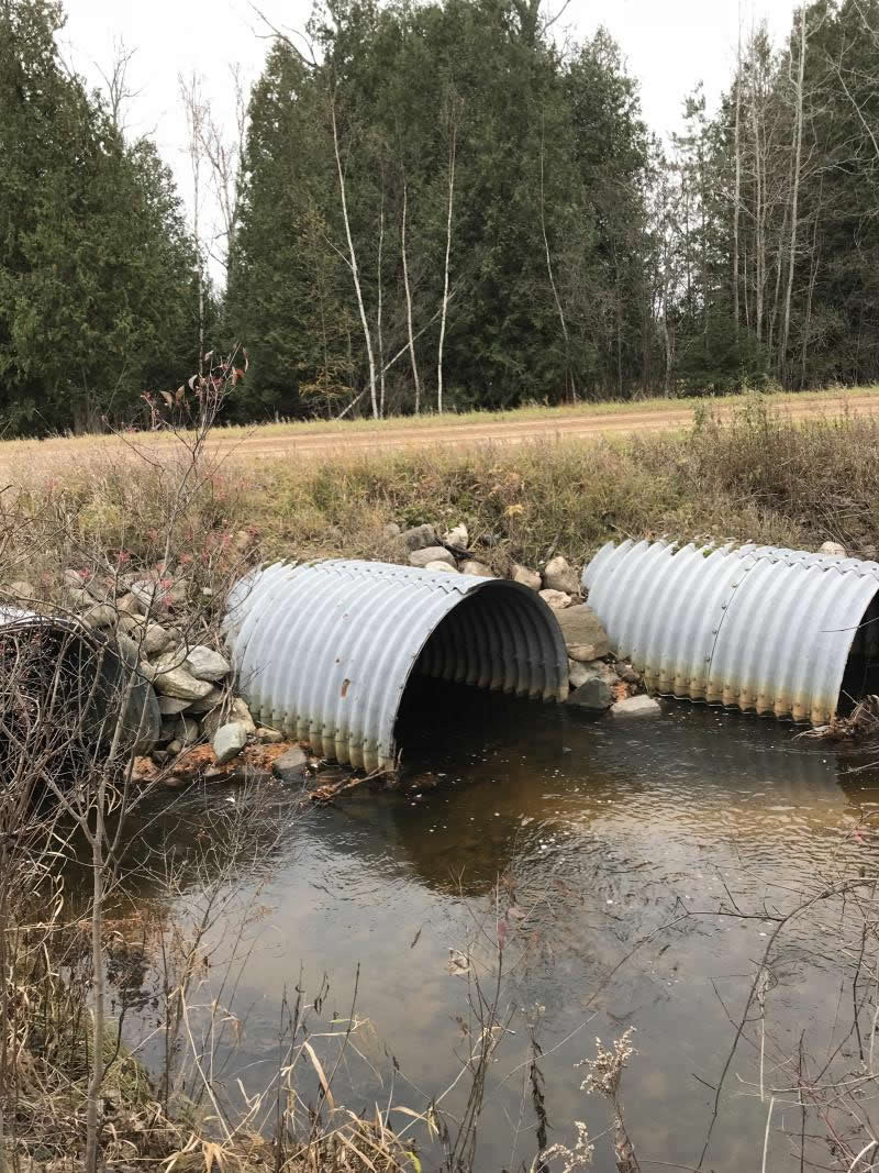
Inlet
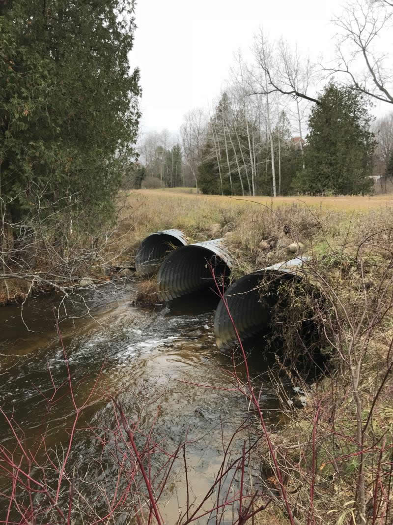
Outlet
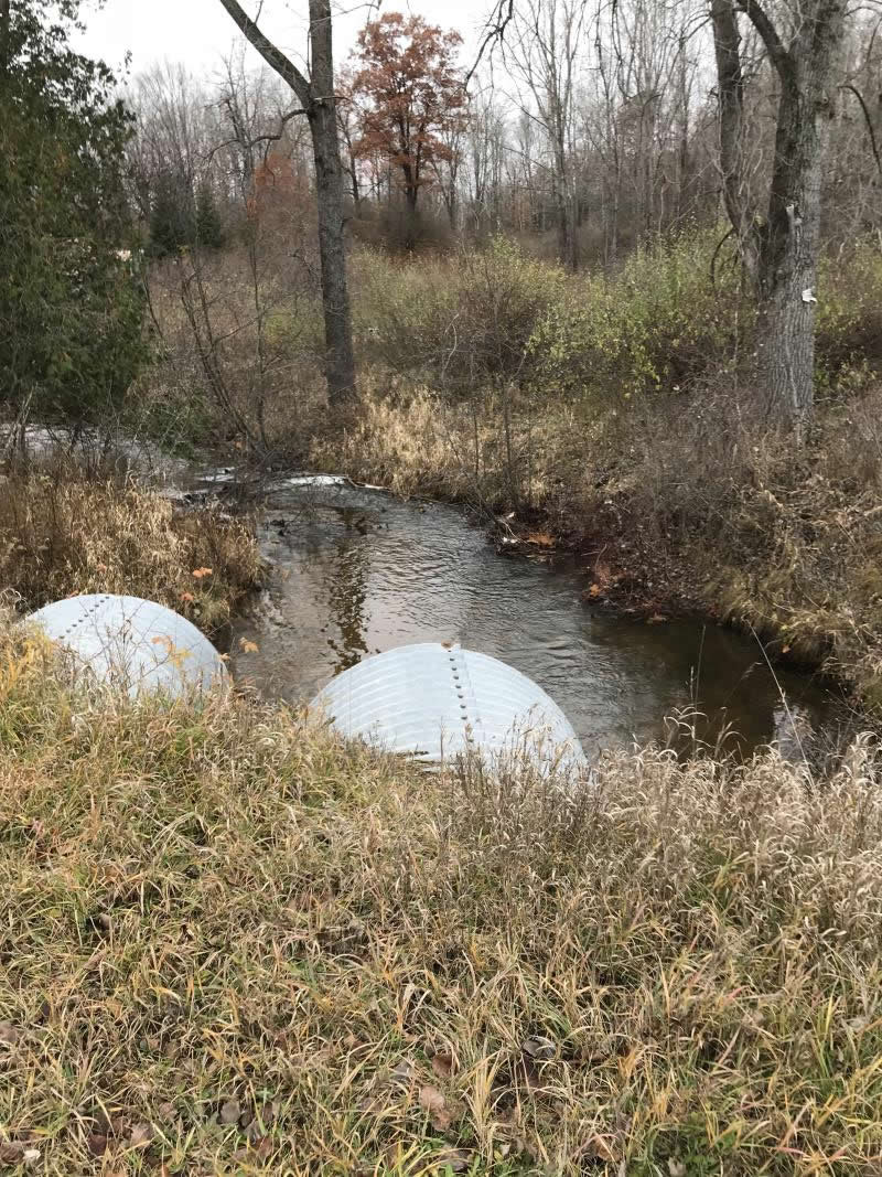
Upstream Conditions
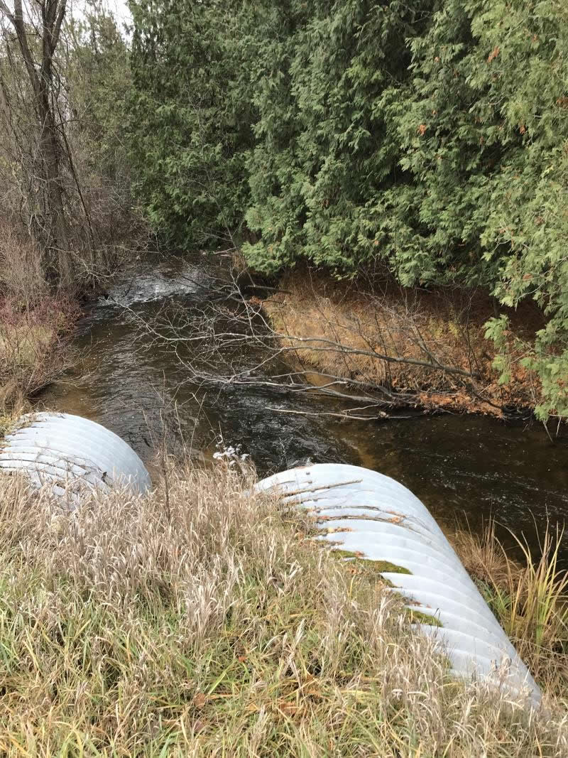
Downstream Conditions
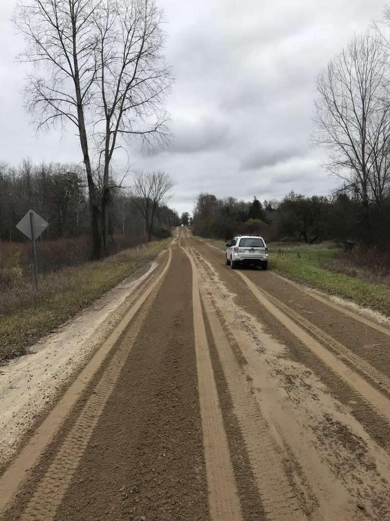
Road Approach - Left
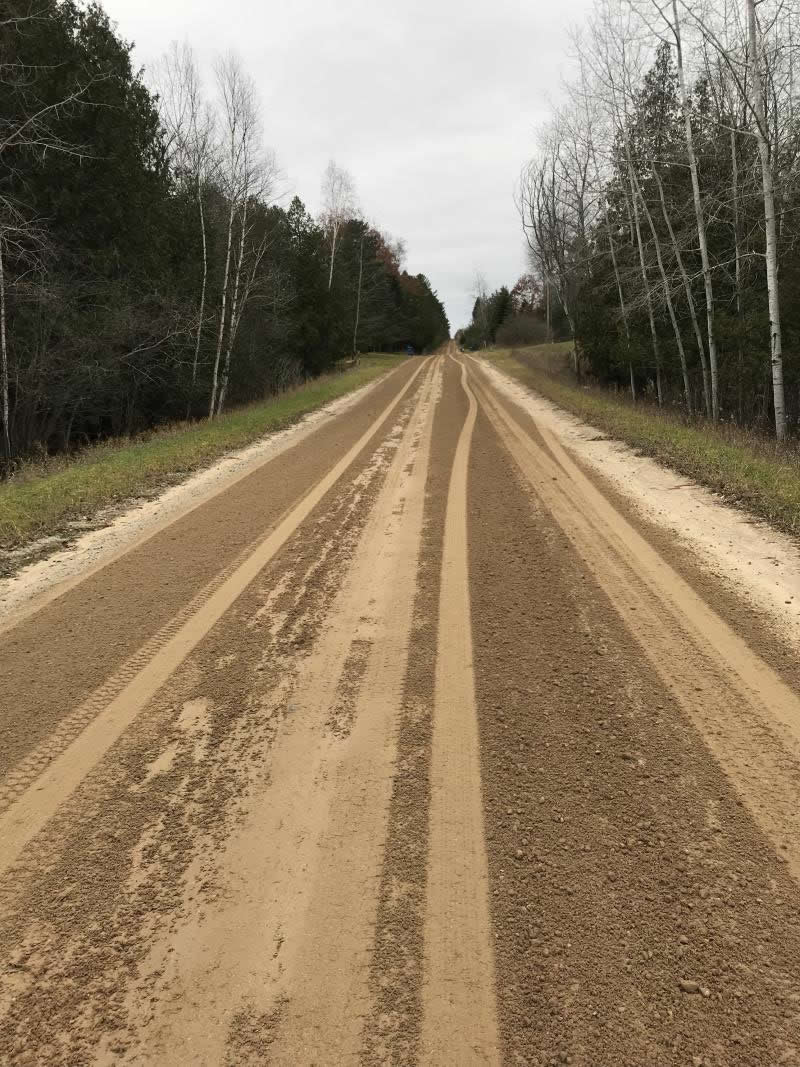
Road Approach - Right
Crossing Information
Type of Crossing: culvert(s)
Number of Structures: 3
Structure Shape: Pipe Arch
Inlet Type: Projecting
Outlet Type: At Stream Grade
Structure Material: Metal
Structure Substrate: None
General Conditions: Good
Multiple Culverts/Spans | ||||
Culvert/Span | Width | Length | Height | Material |
1 |
7 ft. |
65 ft. |
5.5 ft. |
Metal |
2 |
7 ft. |
65 ft. |
5.5 ft. |
Metal |
3 |
7 ft. |
65 ft. |
5.5 ft. |
Metal |
Structure Interior: corrugated
Dimensions of Structure: Length 65 ft.
, Width 7 ft.
, Height 5.5 ft.
Percentage Plugged:
Inlet: 0%
Outlet: 0%
In Pipe: 0%
Percentage Crushed:
Inlet: 0%
Outlet: 0%
In Pipe: 0%
Structure is NOT Perched
Structure Inlet
Water Depth: 1.2 ft.
Embedded Depth of Structure: 0 ft.
Water Velocity*: 1.2 ft./sec.
Structure Outlet
Water Depth: 1 ft.
Embedded Depth of Structure: 0 ft.
Water Velocity*: 1 ft./sec.
*Water Velocities were measured 0.5 ft. below Surface
(with Meter)
Additional Comments
Lat: 44-02.784' Long; 84-38.050' Adjacent to Henry Reimer Property
Stream Information
Stream Flow: Less than 1/2 Bankfull
Scour Pool: Length 0 ft.
, Width 0 ft.
, Depth 0 ft.
Upstream Pond: Length 0 ft.
, Width 0 ft.
, Depth 0 ft.
Riffle Information
Water Depth: 1 ft.
Bankfull Width: 24 ft.
Wetted Width: 18 ft.
Water Velocity: 1.4 ft./sec.
(Measured with Meter)
Dominant Substrate: Gravel
Road Information
Gravel
County Road
Road Condition: Good
Road Width at Culvert: 21 ft.
Location of Low Point: At Stream
Runoff Path: Ditch
Embankments
Upstream
Fill Depth: 6 ft.
Slope: More than 1:2
Downstream
Fill Depth: 5 ft.
Slope: 1:2
Approaches
Left Approach
Length: 135 ft.
Slope: Less Than 1%
Vegetation: Partial
LS Factor: 0.05
Erosion: 0.039 tons/year
Right Approach
Length: 200 ft.
Slope: Less Than 1%
Vegetation: Partial
LS Factor: 0.05
Erosion: 0.0579 tons/year
Erosion Information
Total Erosion at Crossing: 0.0969 tons/year
Extent of Erosion: Minor
Notes: Good erosion control
Summary Information
Fish Passability 0.5
�