Road Stream Crossing Site CRW_030
Cedar River Watershed, Middle Branch Cedar River
Hoover Rd
Hamilton Twp,
Clare County
Information collected by:
Site Location
GPS Coordinates: 44.043733
, -84.6267
T19N
R3W
Sec 13
Owned by Private
Fish Passability 0
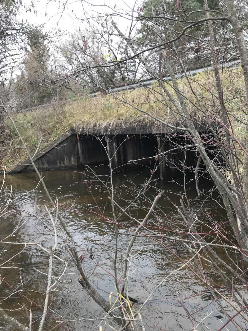
Perch Height: 0.5 ft.
Total Erosion: 0.6687 tons/year
Severity: Severe
Year Inventoried: 2018
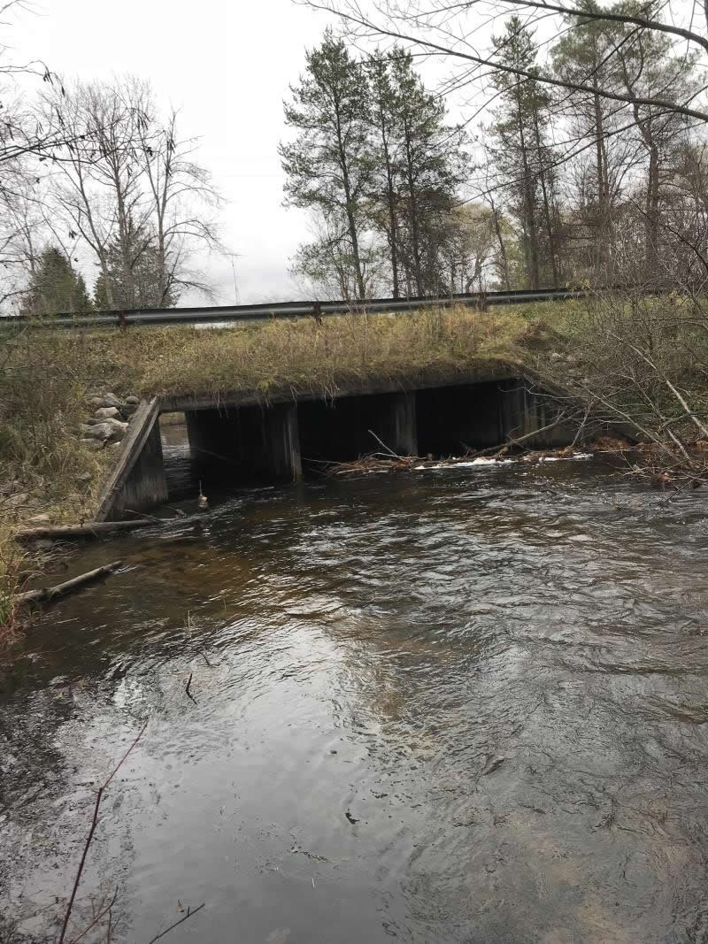
Inlet
Outlet
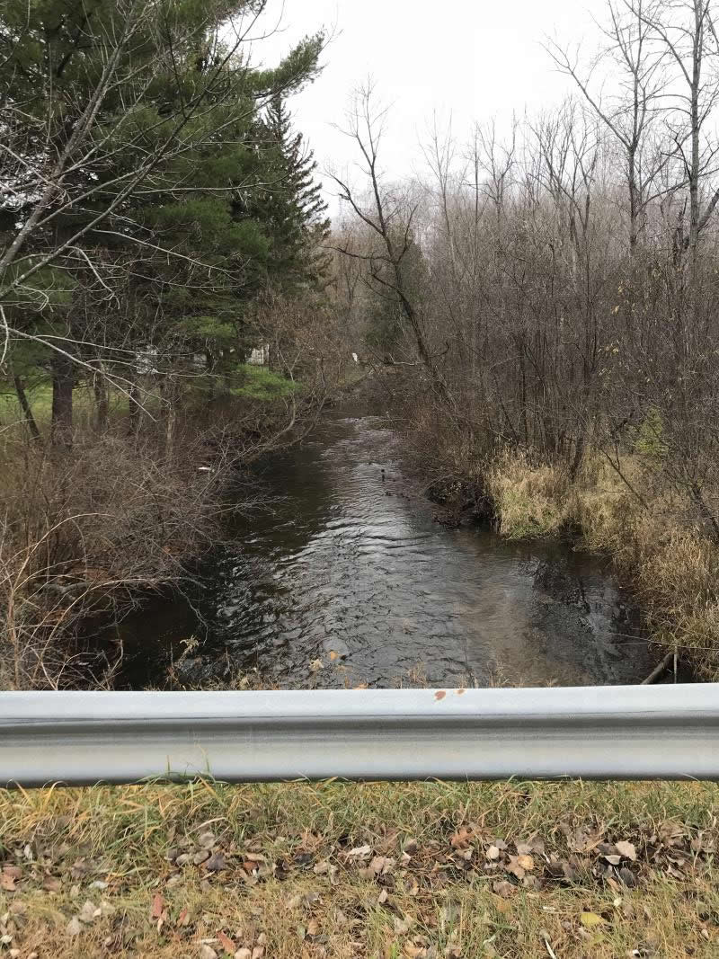
Upstream Conditions
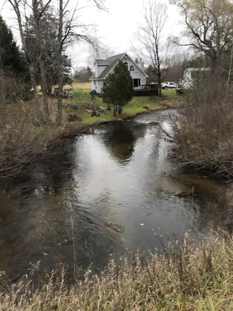
Downstream Conditions
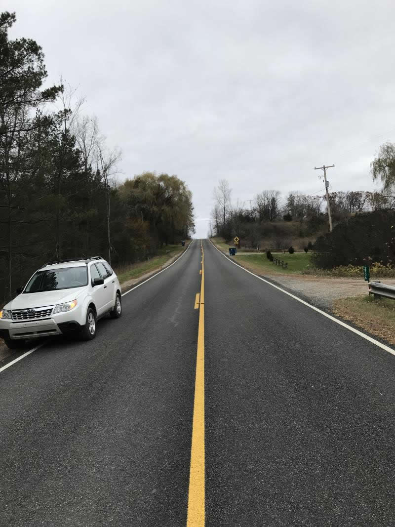
Road Approach - Left
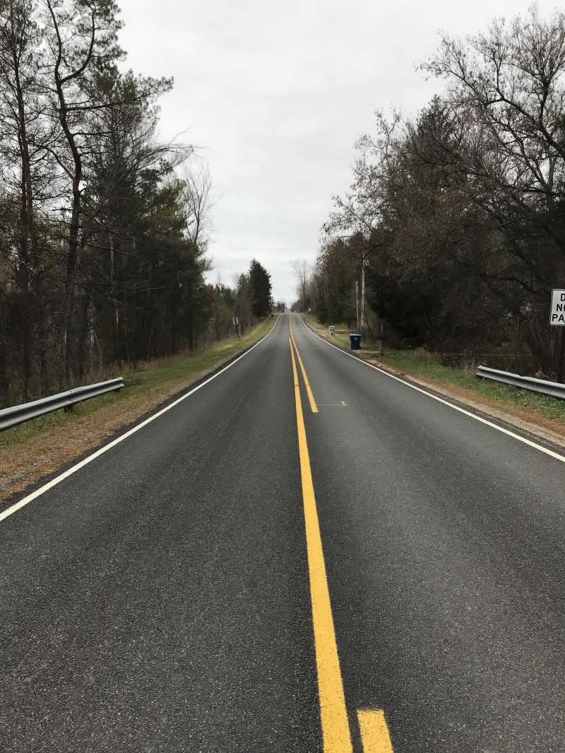
Road Approach - Right
Crossing Information
Type of Crossing: Bridge
Structure Shape: Open Bottom Square/Rectangle
Inlet Type: Wingwall 30-70 Degree
Outlet Type: Cascade over Riprap
Structure Material: Wood
Structure Substrate: Mixture
General Conditions: Good
Structure Interior: smooth
Dimensions of Structure: Length 48 ft.
, Width 24 ft.
, Height 6 ft.
Percentage Plugged:
Inlet: 51% to 75%
Outlet: 0%
In Pipe: 0%
Percentage Crushed:
Inlet: 0%
Outlet: 0%
In Pipe: 0%
Perch Height: 0.5 ft.
Structure Inlet
Water Depth: 2 ft.
Embedded Depth of Structure: 0 ft.
Water Velocity*: 2.2 ft./sec.
Structure Outlet
Water Depth: 2 ft.
Embedded Depth of Structure: 0 ft.
Water Velocity*: 1.4 ft./sec.
*Water Velocities were measured 0.5 ft. below Surface
(with Meter)
Additional Comments
Lat: 44-02.624' Long: 84-37.602'
Stream Information
Stream Flow: Less than 1/2 Bankfull
Scour Pool: Length 0 ft.
, Width 0 ft.
, Depth 0 ft.
Upstream Pond: Length 0 ft.
, Width 0 ft.
, Depth 0 ft.
Riffle Information
Water Depth: 1.8 ft.
Bankfull Width: 40 ft.
Wetted Width: 26 ft.
Water Velocity: 1.8 ft./sec.
(Measured with Meter)
Dominant Substrate: Gravel
Road Information
Paved
County Road
Road Condition: Good
Road Width at Culvert: 22 ft.
Location of Low Point: At Stream
Runoff Path: Roadway
Embankments
Upstream
Fill Depth: 6 ft.
Slope: 1:1.5
Downstream
Fill Depth: 6 ft.
Slope: 1:1.5
Approaches
Left Approach
Length: 693 ft.
Slope: 1% to 5%
Vegetation: Heavy
LS Factor: 0.534
Erosion: 0.2691 tons/year
Right Approach
Length: 900 ft.
Slope: 1% to 5%
Vegetation: Heavy
LS Factor: 0.56
Erosion: 0.3665 tons/year
Erosion Information
Total Erosion at Crossing: 0.6687 tons/year
Extent of Erosion: Minor
Notes: Some runoff at bridge, minor. There is a gully that has been filled with large rocks
Location of Erosion | Erosion Dimensions | Eroded Material | Material Eroded | Total Erosion | ||
facing downstream | Length | Width | Depth | Reaching Stream? | (tons/year) | |
Left Upstream Embankment |
10 ft. |
3 ft. |
3 ft. |
yes |
Sand |
0.033 |
Summary Information
Fish Passability 0
Fish Passage is an area of concern for this site.
No Minor erosion
Upstream one 8' inlet blocked with debris 80%, second about 50%
A future visit to this site is recommended. Remove upstream debris blockage
�