Road Stream Crossing Site CRW_033
Cedar River Watershed, Middle Branch Cedar River
Bard Rd
Sage Twp,
Gladwin County
Information collected by:
Site Location
GPS Coordinates: 44.037933
, -84.585733
T18N
R2W
Owned by Private
Fish Passability 0
Structure is NOT Perched
Total Erosion: 0.0581 tons/year
Severity: Severe
Year Inventoried: 2018
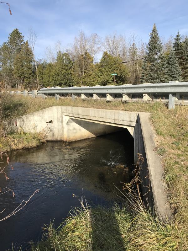
Inlet
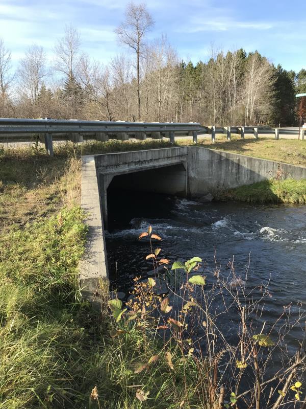
Outlet
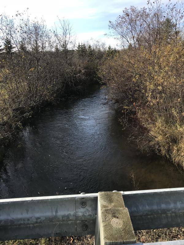
Upstream Conditions
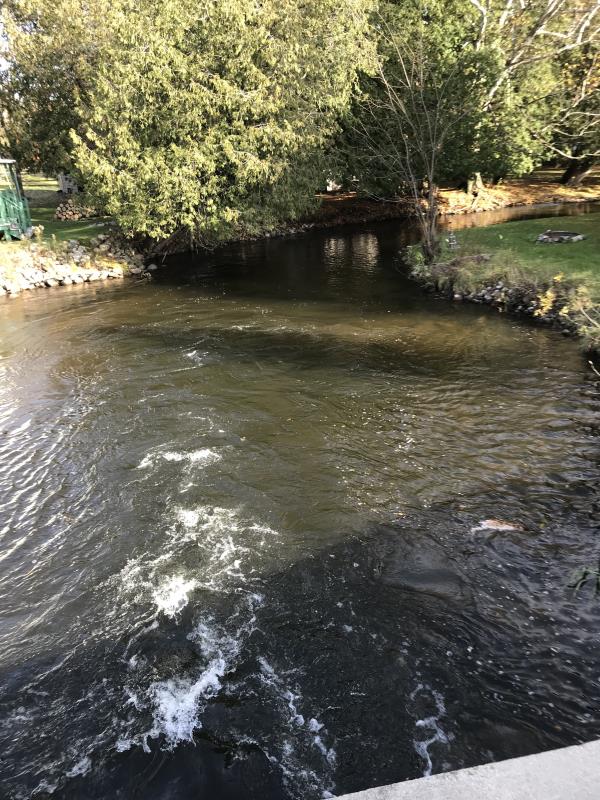
Downstream Conditions
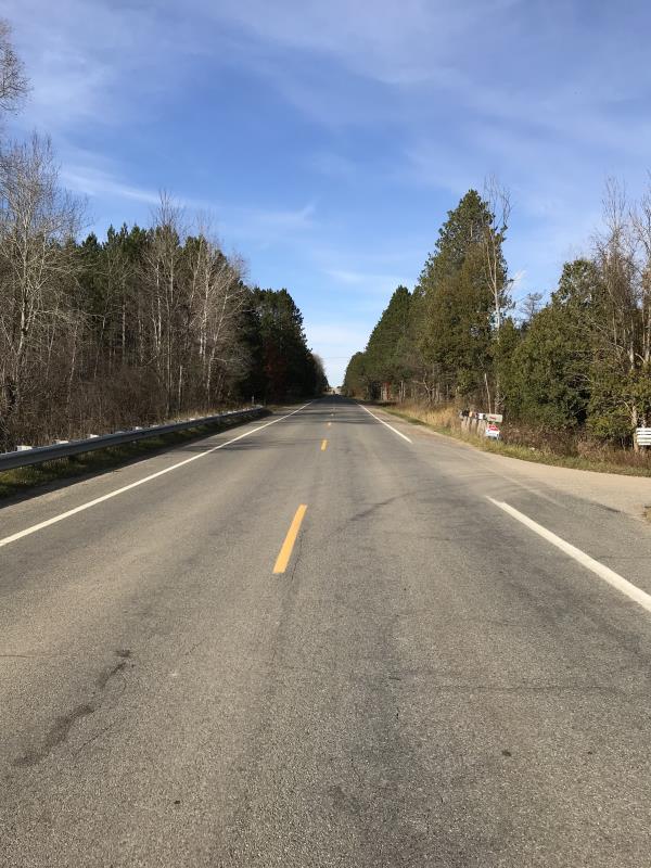
Road Approach - Left
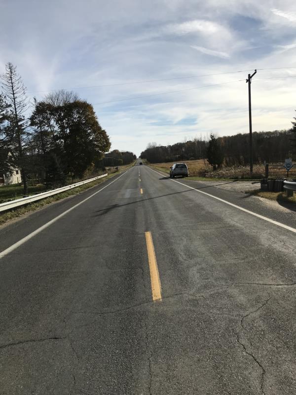
Road Approach - Right
Crossing Information
Type of Crossing: Bridge
Structure Shape: Open Bottom Square/Rectangle
Inlet Type: Wingwall 30-70 Degree
Outlet Type: Cascade over Riprap
Structure Material: Concrete
Structure Substrate: Sand
General Conditions: Good
Structure Interior: smooth
Dimensions of Structure: Length 70 ft.
, Width 15 ft.
, Height 4.3 ft.
Percentage Plugged:
Inlet: 0%
Outlet: 0%
In Pipe: 0%
Percentage Crushed:
Inlet: 0%
Outlet: 0%
In Pipe: 0%
Structure is NOT Perched
Structure Inlet
Water Depth: 3 ft.
Embedded Depth of Structure: 0 ft.
Water Velocity*: 3.1 ft./sec.
Structure Outlet
Water Depth: 2.5 ft.
Embedded Depth of Structure: 0 ft.
Water Velocity*: 5.7 ft./sec.
*Water Velocities were measured 0.5 ft. below Surface
(with Meter)
Additional Comments
Lat: 44-02.276'; Long: 84-35.144' Landowner Norm Engle
Stream Information
Stream Flow: Less than 1/2 Bankfull
Scour Pool: Length 70 ft.
, Width 60 ft.
, Depth 6 ft.
Upstream Pond: Length 0 ft.
, Width 0 ft.
, Depth 0 ft.
Riffle Information
Water Depth: 2 ft.
Bankfull Width: 20 ft.
Wetted Width: 19 ft.
Water Velocity: 1.7 ft./sec.
(Measured with Meter)
Dominant Substrate: Cobble
Road Information
Paved
County Road
Road Condition: Good
Road Width at Culvert: 36 ft.
Location of Low Point: Other
Runoff Path: Ditch
Embankments
Upstream
Fill Depth: 4.8 ft.
Slope: 1:2
Downstream
Fill Depth: 4.8 ft.
Slope: 1:2
Approaches
Left Approach
Length: 752 ft.
Slope: Less Than 1%
Vegetation: Heavy
LS Factor: 0.05
Erosion: 0.0447 tons/year
Right Approach
Length: 225 ft.
Slope: Less Than 1%
Vegetation: Partial
LS Factor: 0.05
Erosion: 0.0134 tons/year
Erosion Information
Total Erosion at Crossing: 0.0581 tons/year
Extent of Erosion: Minor
Notes: Erosion Well controled. Runoff left Downstream directed into private driveway
Summary Information
Fish Passability 0
Fish Passage is an area of concern for this site.
Landowners have placed rocks in outlet creating a cascade into a pool
A future visit to this site is recommended. Remove rocks from outlet
�