Road Stream Crossing Site CRW_034
Cedar River Watershed, Middle Branch Cedar River
Eagleston Rd
Sage Twp,
Gladwin County
Information collected by:
Site Location
GPS Coordinates: 44.016733
, -84.570567
T19N
R2W
Sec 19
Owned by Private
Fish Passability 0.5
Structure is NOT Perched
Total Erosion: 0.0476 tons/year
Severity: Moderate
Year Inventoried: 2018
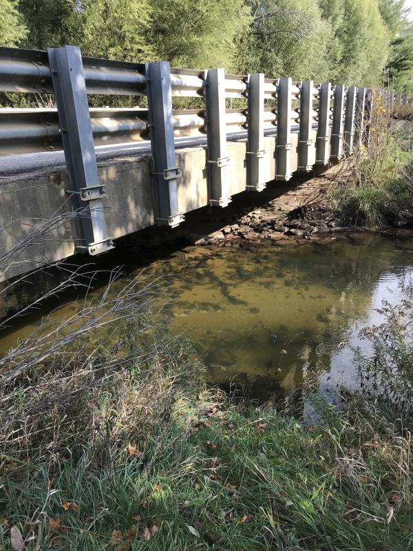
Inlet
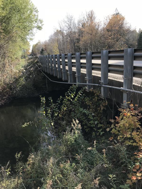
Outlet
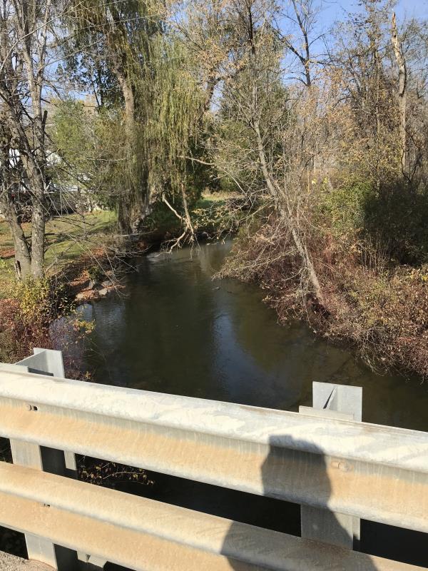
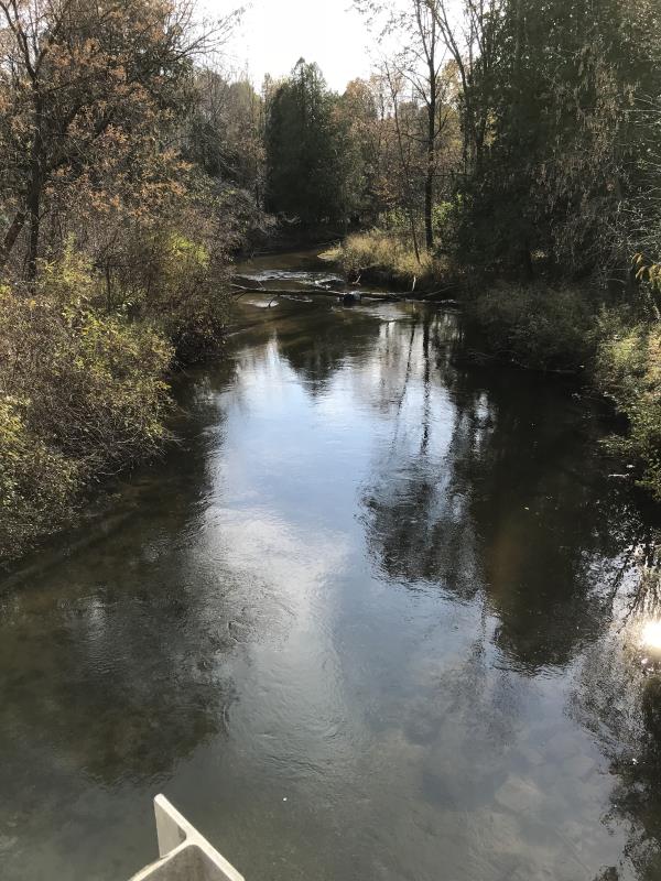
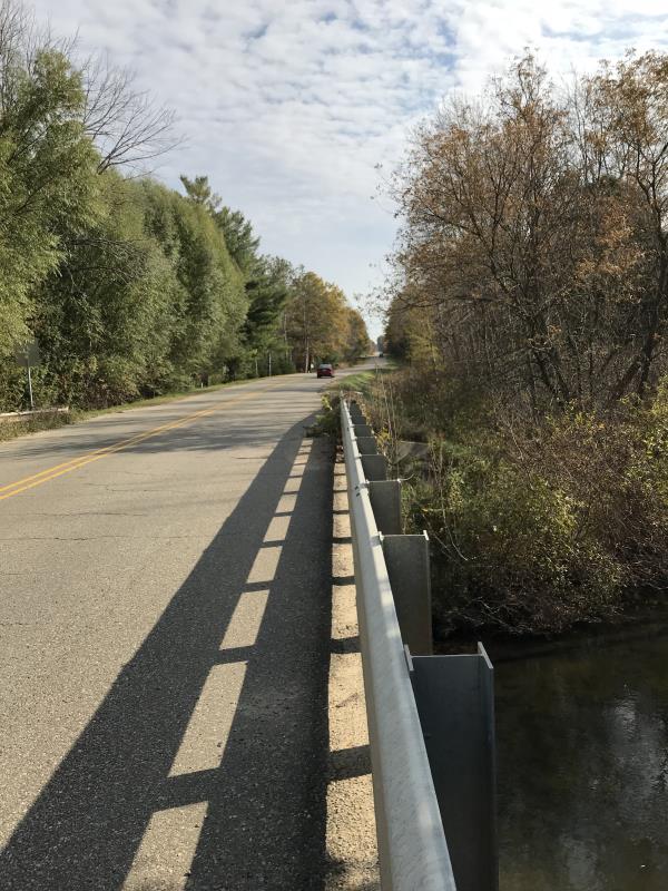
Upstream Conditions
Downstream Conditions
Road Approach - Left
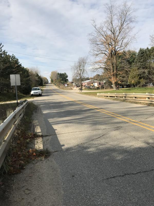
Road Approach - Right
Crossing Information
Type of Crossing: Bridge
Structure Shape: Open Bottom Square/Rectangle
Inlet Type: Wingwall 10-30 Degree
Outlet Type: At Stream Grade
Structure Material: Concrete
Structure Substrate: Gravel
General Conditions: Good
Structure Interior: smooth
Dimensions of Structure: Length 30.5 ft.
, Width 66 ft.
, Height 7.5 ft.
Percentage Plugged:
Inlet: 0%
Outlet: 0%
In Pipe: 0%
Percentage Crushed:
Inlet: 0%
Outlet: 0%
In Pipe: 0%
Structure is NOT Perched
Structure Inlet
Water Depth: 3 ft.
Embedded Depth of Structure: 0 ft.
Water Velocity*: 2 ft./sec.
Structure Outlet
Water Depth: 4 ft.
Embedded Depth of Structure: 0 ft.
Water Velocity*: 2 ft./sec.
*Water Velocities were measured 0.5 ft. below Surface
(with Meter)
Additional Comments
Lat: 44-01.004 Long: 84-34.234 Auto Salvage yard
Stream Information
Stream Flow: Less than Bankfull
Scour Pool: Length 0 ft.
, Width 0 ft.
, Depth 0 ft.
Upstream Pond: Length 0 ft.
, Width 0 ft.
, Depth 0 ft.
Riffle Information
Water Depth: 2 ft.
Road Information
Paved
County Road
Road Condition: Good
Road Width at Culvert: 30 ft.
Location of Low Point: Other
Runoff Path: Ditch
Embankments
Upstream
Fill Depth: 2.5 ft.
Slope: 1:2
Downstream
Fill Depth: 2.5 ft.
Slope: 1:2
Approaches
Left Approach
Length: 300 ft.
Slope: Less Than 1%
Vegetation: Heavy
LS Factor: 0.05
Erosion: 0.0149 tons/year
Right Approach
Length: 660 ft.
Slope: Less Than 1%
Vegetation: Heavy
LS Factor: 0.05
Erosion: 0.0327 tons/year
Erosion Information
Total Erosion at Crossing: 0.0476 tons/year
Extent of Erosion: Minor
Notes: Residences both sides of river both upstream and downstream
Summary Information
Fish Passability 0.5
�