Road Stream Crossing Site CRW_039
Cedar River Watershed, Snake Creek (Tributary to Middle Branch Cedar River)
Stockwell Rd
Hamilton Twp,
Clare County
Information collected by:
Site Location
GPS Coordinates: 44.061083
, -84.632483
T19N
R3W
Sec 2
Owned by Private
Fish Passability 1
Structure is NOT Perched
Total Erosion: 0.449 tons/year
Severity: Moderate
Year Inventoried: 2018
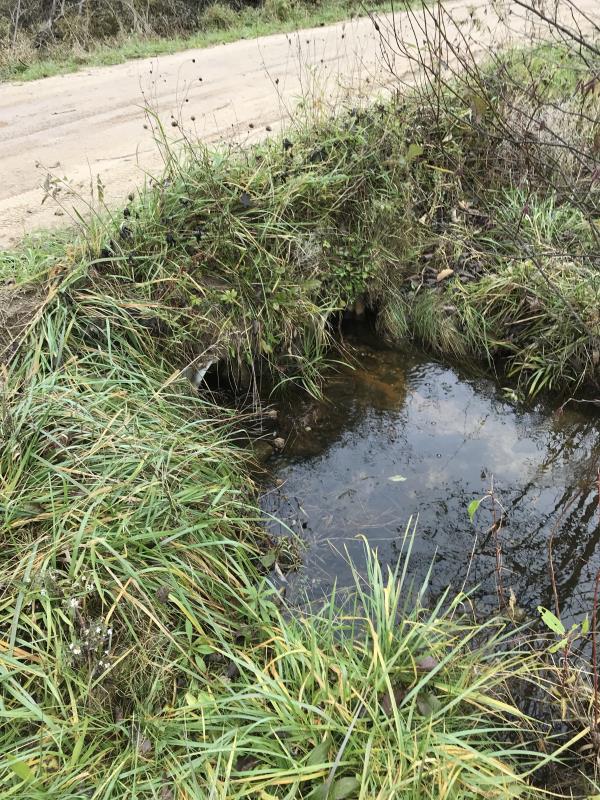
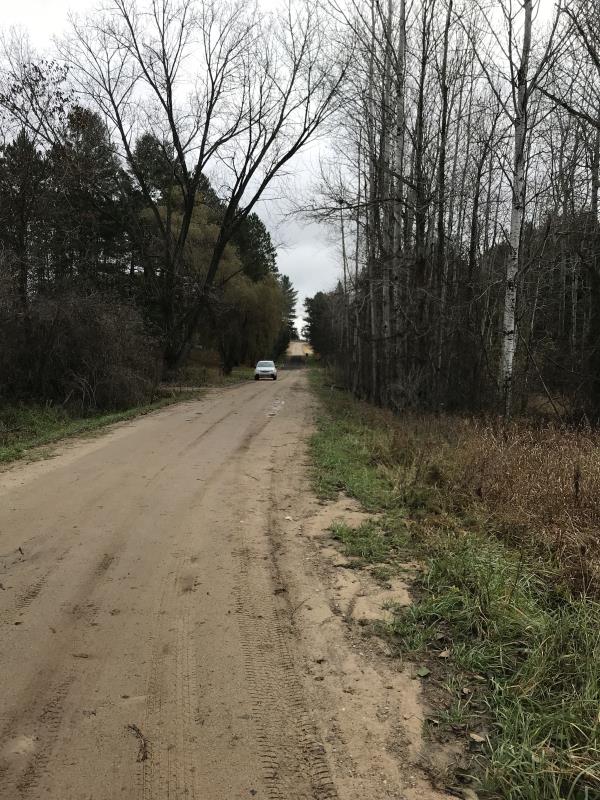
Inlet
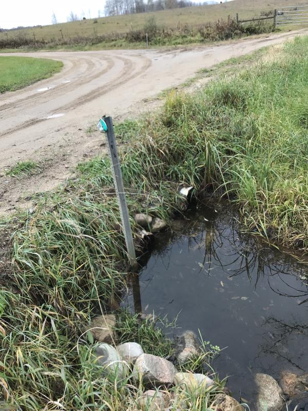
Outlet
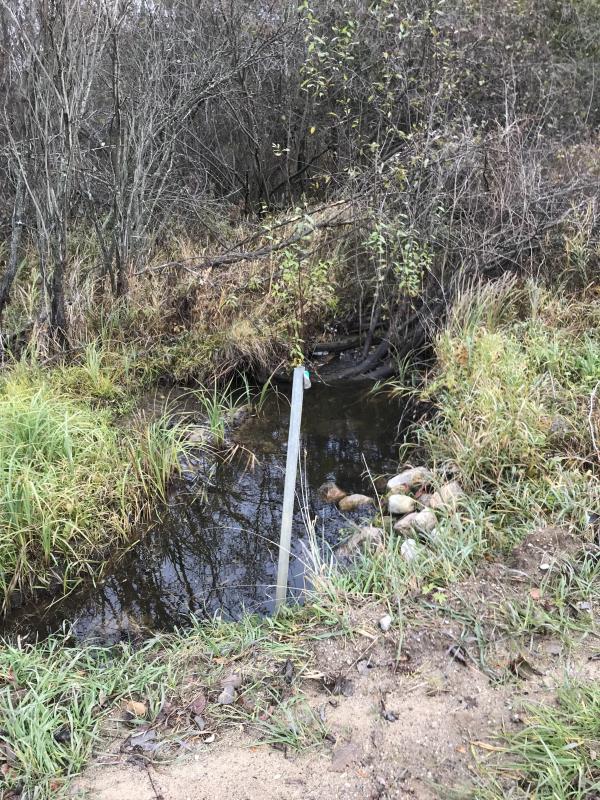
Upstream Conditions
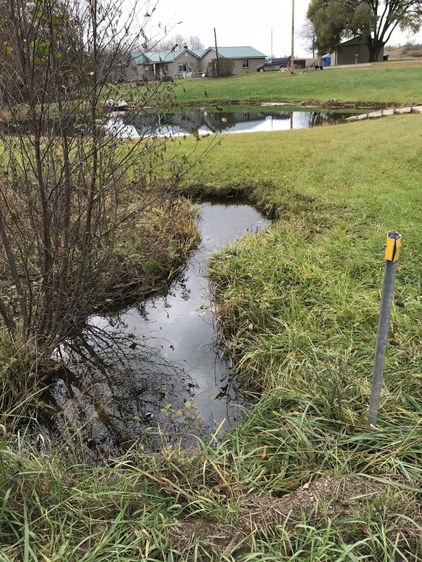
Downstream Conditions
Road Approach - Left
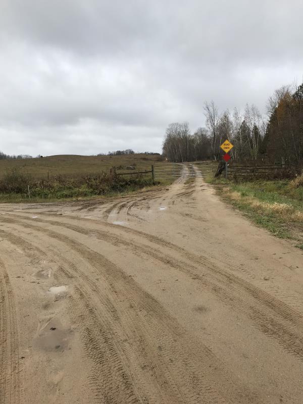
Road Approach - Right
Crossing Information
Type of Crossing: culvert(s)
Number of Structures: 2
Structure Shape: Round
Inlet Type: Projecting
Outlet Type: At Stream Grade
Structure Material: Metal
Structure Substrate: Sand
General Conditions: Good
Multiple Culverts/Spans | ||||
Culvert/Span | Width | Length | Height | Material |
1 |
1.5 ft. |
24 ft. |
1.5 ft. |
Metal |
2 |
1.5 ft. |
24 ft. |
1.5 ft. |
Metal |
Structure Interior: corrugated
Dimensions of Structure: Length 24 ft.
, Width 3 ft.
, Height 1.5 ft.
Percentage Plugged:
Inlet: 0%
Outlet: 0%
In Pipe: 1% to 25%
Percentage Crushed:
Inlet: 0%
Outlet: 0%
In Pipe: 1% to 25%
Structure is NOT Perched
Structure Inlet
Water Depth: 0.5 ft.
Embedded Depth of Structure: 0.5 ft.
Water Velocity*: 0.4 ft./sec.
Structure Outlet
Water Depth: 0.4 ft.
Embedded Depth of Structure: 0.5 ft.
Water Velocity*: 0.4 ft./sec.
*Water Velocities were measured at the Surface
(with Meter)
Additional Comments
Lat: 44-03.665 Long: 84-37.949 300 yds west of site #27
Stream Information
Stream Flow: Less than 1/2 Bankfull
Scour Pool: Length 0 ft.
, Width 0 ft.
, Depth 0 ft.
Upstream Pond: Length 0 ft.
, Width 0 ft.
, Depth 0 ft.
Riffle Information
Water Depth: 0.5 ft.
Bankfull Width: 3 ft.
Wetted Width: 2.5 ft.
Water Velocity: 0.1 ft./sec.
Road Information
Gravel
County Road
Road Condition: Good
Road Width at Culvert: 13 ft.
Location of Low Point: At Stream
Runoff Path: Roadway
Embankments
Upstream
Fill Depth: 2 ft.
Slope: Vertical
Downstream
Fill Depth: 1.5 ft.
Slope: Vertical
Approaches
Left Approach
Length: 240 ft.
Slope: 1% to 5%
Vegetation: Partial
LS Factor: 0.512
Erosion: 0.4401 tons/year
Right Approach
Length: 50 ft.
Slope: Less Than 1%
Vegetation: Partial
LS Factor: 0.05
Erosion: 0.009 tons/year
Erosion Information
Total Erosion at Crossing: 0.449 tons/year
Extent of Erosion: Severe
Notes: Erosion from road both directions. Site is subject to overflow in spring. This is a minor site
Location of Erosion | Erosion Dimensions | Eroded Material | Material Eroded | Total Erosion | ||
facing downstream | Length | Width | Depth | Reaching Stream? | (tons/year) | |
Left Downstream Ditch |
50 ft. |
2 ft. |
no |
|||
Right Downtream Ditch |
10 ft. |
3 ft. |
no |
|||
Left Upstream Ditch |
50 ft. |
2 ft. |
no |
|||
Right Upstream Ditch |
50 ft. |
2 ft. |
no |
|||
Summary Information
Fish Passability 1
Erosion is an area of concern for this site.
Site is subject to overflow, little impact on Middle Branch
A future visit to this site is recommended. Coreect Overflow issue
�