Road Stream Crossing Site CRW_043
Cedar River Watershed, West Branch Cedar River
Arnold Lake Rd
Hamilton Twp,
Clare County
Information collected by:
Site Location
GPS Coordinates: 44.0758
, -84.65675
T19N
R3W
Sec 3
Owned by Private
Fish Passability 1
Structure is NOT Perched
Total Erosion: 0.4275 tons/year
Severity: Minor
Year Inventoried: 2018
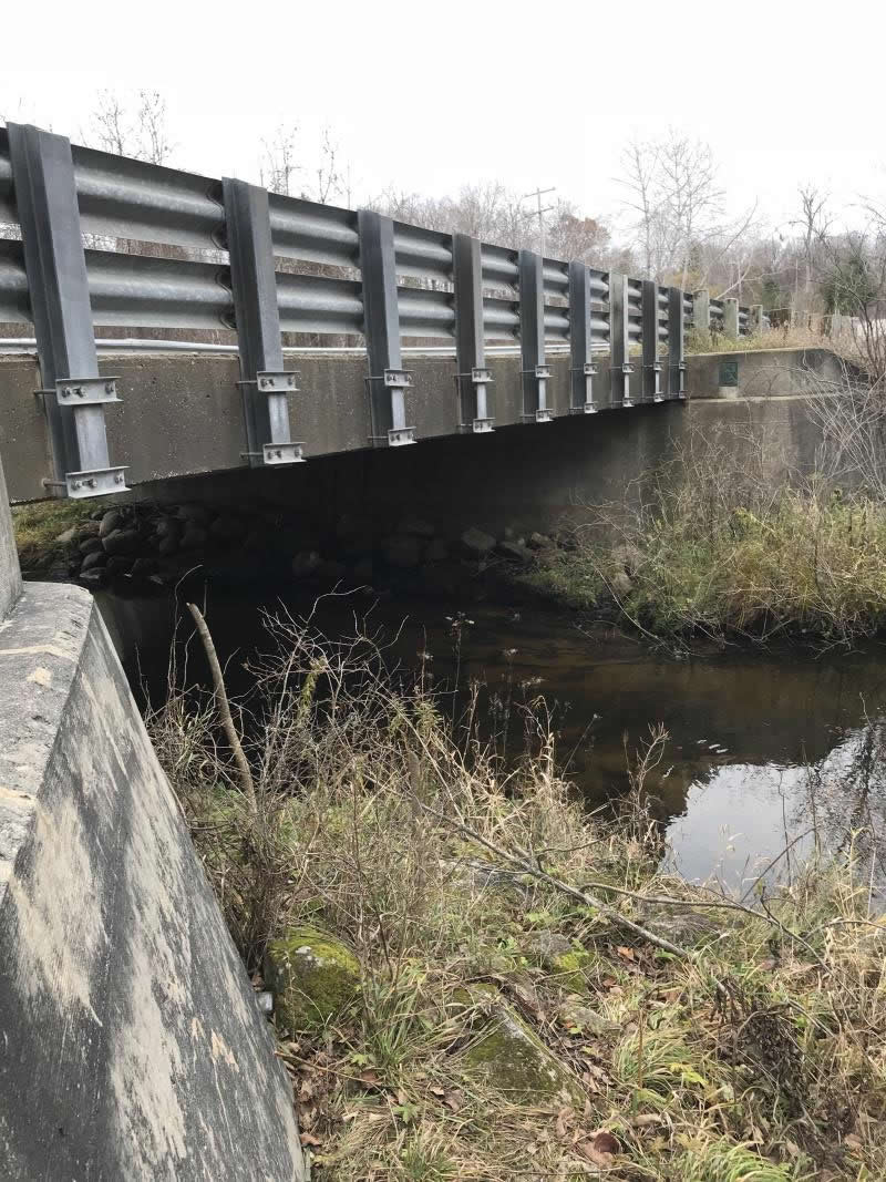
Inlet
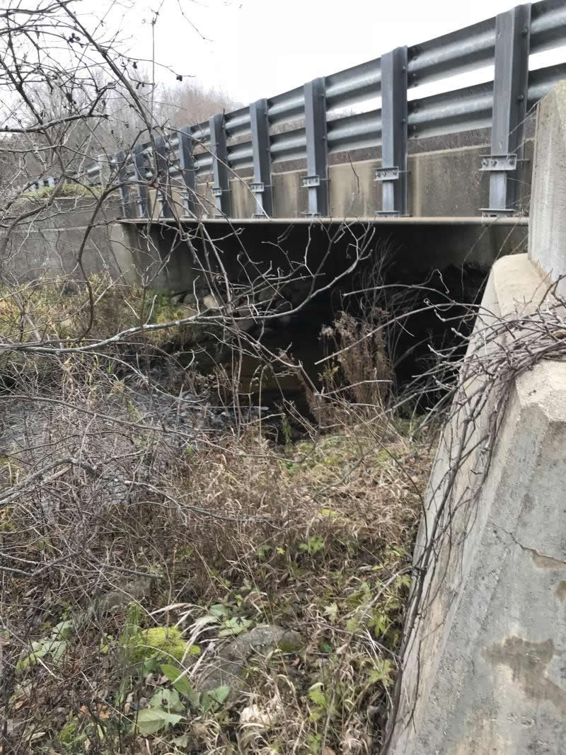
Outlet
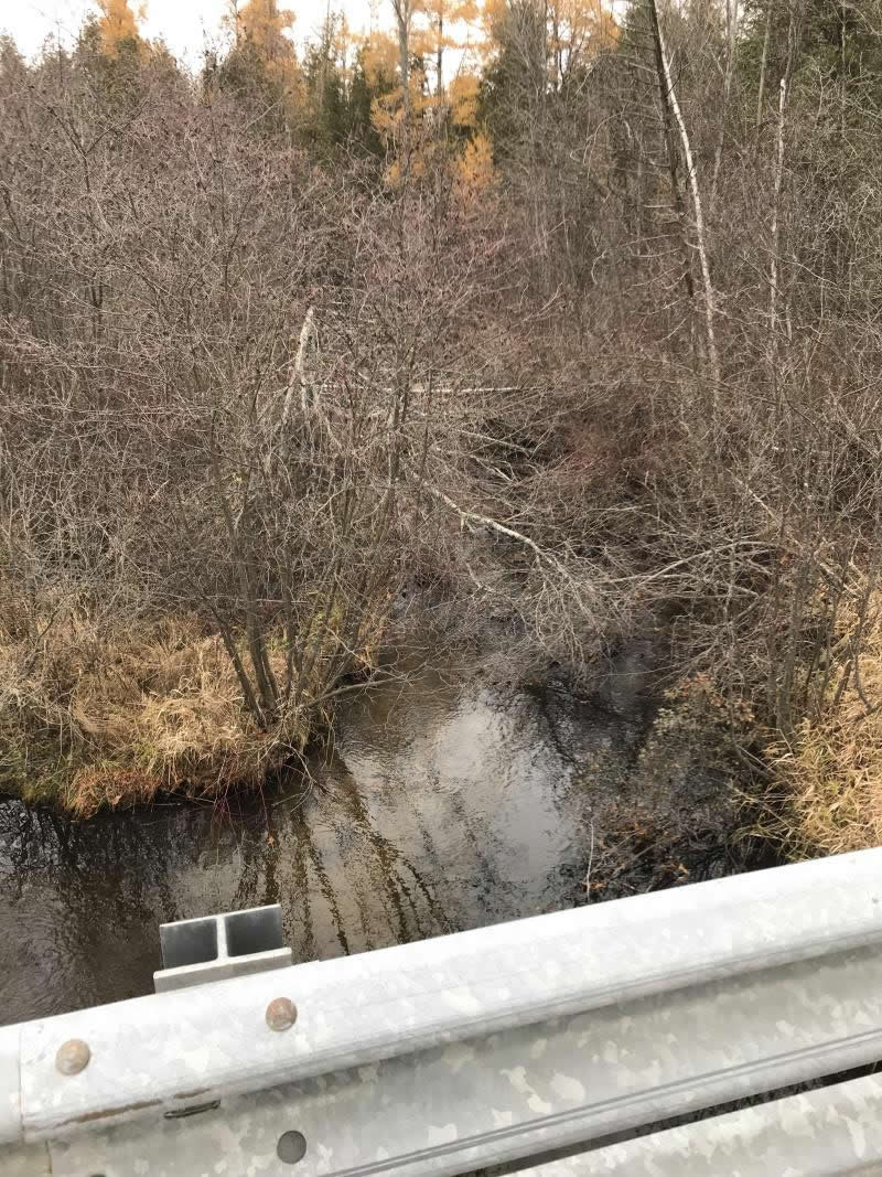
Upstream Conditions
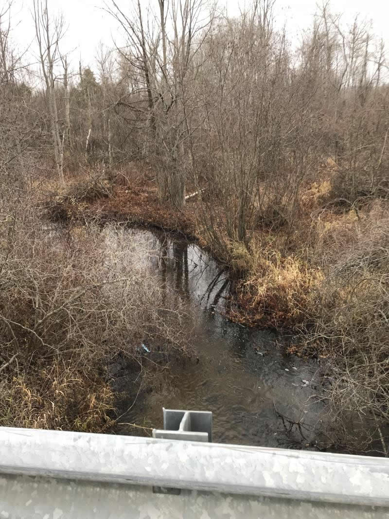
Downstream Conditions

Road Approach - Left
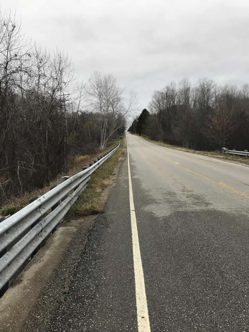
Road Approach - Right
Crossing Information
Type of Crossing: Bridge
Structure Shape: Open Bottom Square/Rectangle
Inlet Type: Wingwall 10-30 Degree
Outlet Type: Cascade over Riprap
Structure Material: Concrete
Structure Substrate: Gravel
General Conditions: Good
Structure Interior: smooth
Dimensions of Structure: Length 35 ft.
, Width 38 ft.
, Height 8 ft.
Percentage Plugged:
Inlet: 76% to 100%
Outlet: 0%
In Pipe: 0%
Percentage Crushed:
Inlet: 0%
Outlet: 0%
In Pipe: 0%
Structure is NOT Perched
Structure Inlet
Water Depth: 1.5 ft.
Embedded Depth of Structure: 0 ft.
Water Velocity*: 0.8 ft./sec.
Structure Outlet
Water Depth: 0.75 ft.
Embedded Depth of Structure: 0 ft.
Water Velocity*: 1.2 ft./sec.
Additional Comments
Lat; 44-04.548'; Long: 84-39.405'
Stream Information
Stream Flow: Less than 1/2 Bankfull
Scour Pool: Length 0 ft.
, Width 0 ft.
, Depth 0 ft.
Upstream Pond: Length 0 ft.
, Width 0 ft.
, Depth 0 ft.
Riffle Information
Water Depth: 1.5 ft.
Bankfull Width: 38 ft.
Wetted Width: 17 ft.
Water Velocity: 0.8 ft./sec.
(Measured with Meter)
Dominant Substrate: Gravel
Road Information
Paved
County Road
Road Condition: Good
Road Width at Culvert: 23 ft.
Location of Low Point: Other
Runoff Path: Ditch
Embankments
Upstream
Fill Depth: 2 ft.
Slope: Vertical
Downstream
Fill Depth: 2 ft.
Slope: Vertical
Approaches
Left Approach
Length: 600 ft.
Slope: 1% to 5%
Vegetation: Heavy
LS Factor: 0.52
Erosion: 0.2372 tons/year
Right Approach
Length: 500 ft.
Slope: 1% to 5%
Vegetation: Heavy
LS Factor: 0.5
Erosion: 0.1901 tons/year
Erosion Information
Total Erosion at Crossing: 0.4275 tons/year
Extent of Erosion: Minor
Erosion is occurring and corrective actions can be installed to address the problem.
Notes: Runoff from road creating small ditch off paved roadway
Location of Erosion | Erosion Dimensions | Eroded Material | Material Eroded | Total Erosion | ||
facing downstream | Length | Width | Depth | Reaching Stream? | (tons/year) | |
Right Approach |
2 ft. |
1 ft. |
0.1 ft. |
yes |
Sand |
0.0002 |
Summary Information
Fish Passability 1
Fish Passage is an area of concern for this site.
Rocks blocking stream. Looks like from bridge construction
A future visit to this site is recommended. Rocks blocking stream. Looks like from bridge construction
These non-native species were observerd at this site: Purple Loosestrife
�