Road Stream Crossing Site CRW_045
Cedar River Watershed, West Branch Cedar River
Athey Ave
Hamilton Twp,
Clare County
Information collected by:
Site Location
GPS Coordinates: 44.06765
, -84.6673
T19N
R3W
Sec 4
Owned by Private
Fish Passability 0.5
Structure is NOT Perched
Total Erosion: 0.3376 tons/year
Severity: Moderate
Year Inventoried: 2018
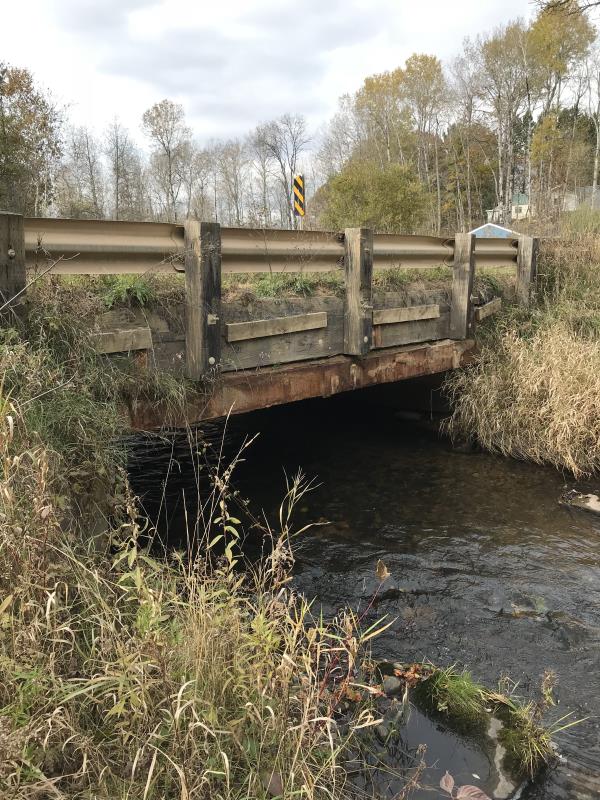
Inlet
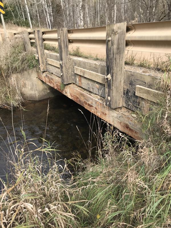
Outlet
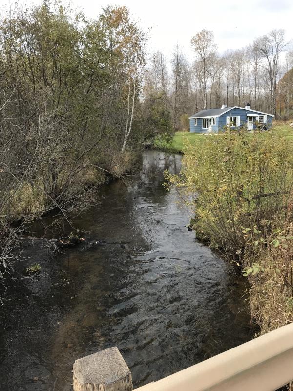
Upstream Conditions
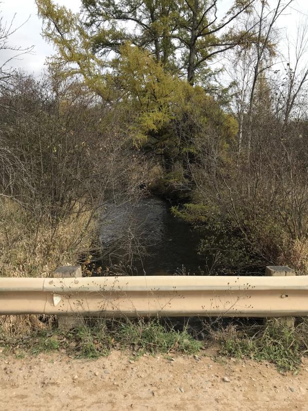
Downstream Conditions
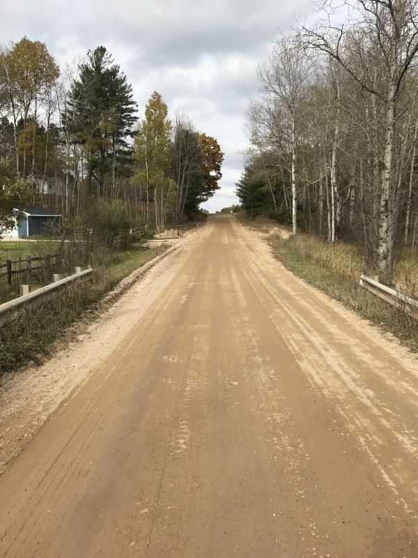
Road Approach - Left
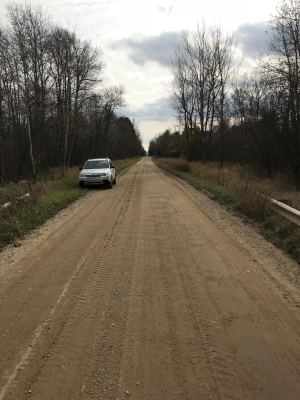
Road Approach - Right
Crossing Information
Type of Crossing: Bridge
Structure Shape: Open Bottom Square/Rectangle
Inlet Type: Wingwall 10-30 Degree
Outlet Type: At Stream Grade
Structure Material: Wood
Structure Substrate: Gravel
General Conditions: Good
Structure Interior: smooth
Dimensions of Structure: Length 70 ft.
, Width 19 ft.
, Height 3 ft.
Percentage Plugged:
Inlet: 0%
Outlet: 0%
In Pipe: 0%
Percentage Crushed:
Inlet: 0%
Outlet: 0%
In Pipe: 0%
Structure is NOT Perched
Structure Inlet
Water Depth: 0.9 ft.
Embedded Depth of Structure: 0 ft.
Water Velocity*: 2 ft./sec.
Structure Outlet
Water Depth: 0.9 ft.
Embedded Depth of Structure: 0 ft.
Water Velocity*: 1.8 ft./sec.
*Water Velocities were measured 0.5 ft. below Surface
(with Meter)
Additional Comments
Lat: 44-04.059'; Long: 84-40.038' Landowner: Morton (Long time resident, lots of knowledge)
Stream Information
Stream Flow: Less than 1/2 Bankfull
Scour Pool: Length 0 ft.
, Width 0 ft.
, Depth 0 ft.
Upstream Pond: Length 0 ft.
, Width 0 ft.
, Depth 0 ft.
Riffle Information
Water Depth: 1 ft.
Bankfull Width: 21 ft.
Wetted Width: 19 ft.
Water Velocity: 1 ft./sec.
(Measured with Meter)
Dominant Substrate: Gravel
Road Information
Gravel
County Road
Road Condition: Good
Road Width at Culvert: 19 ft.
Location of Low Point: At Stream
Runoff Path: Roadway
Embankments
Upstream
Fill Depth: 5 ft.
Slope: Vertical
Downstream
Fill Depth: 5 ft.
Slope: Vertical
Approaches
Left Approach
Length: 750 ft.
Slope: Less Than 1%
Vegetation: Heavy
LS Factor: 0.05
Erosion: 0.1963 tons/year
Right Approach
Length: 540 ft.
Slope: Less Than 1%
Vegetation: Heavy
LS Factor: 0.05
Erosion: 0.1413 tons/year
Erosion Information
Total Erosion at Crossing: 0.3376 tons/year
Extent of Erosion: Moderate
Erosion is occurring and corrective actions can be installed to address the problem.
Notes: Erosion is at stream, curbs prevent a lot of sand from entering river, but cutouts away from stream could help. Landowner reported several culverts upstream on private property placed to cross the river. Beavdr dam downstream plugs river at time causing the river to rise upo to 4'
Summary Information
Fish Passability 0.5
Erosion is an area of concern for this site.
Low spot at river, can be helped by creating cutouts away from stream
A future visit to this site is recommended. Correct erosion and investigate reported private culverts and beaver dam
These non-native species were observerd at this site: Purple Loosestrife
�