Road Stream Crossing Site CRW_046
Cedar River Watershed, West Branch Cedar River
Athey Ave
Hamilton Twp,
Clare County
Information collected by:
Site Location
GPS Coordinates: 44.053633
, -84.666983
T19N
R3W
Sec 9
Owned by Private
Fish Passability 0
Perch Height: 1.3 ft.
Total Erosion: 0.0529 tons/year
Severity: Severe
Year Inventoried: 2018
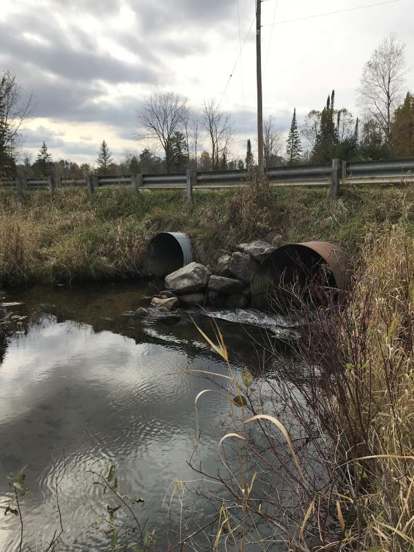
Inlet
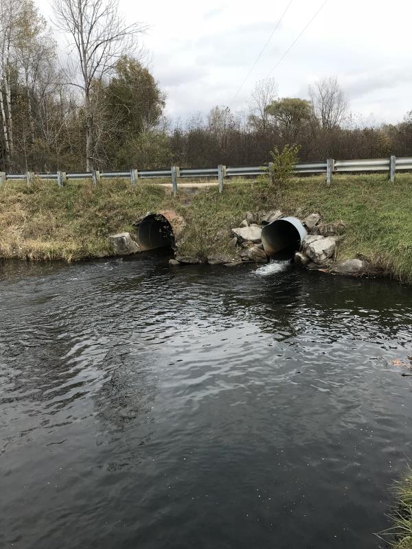
Outlet
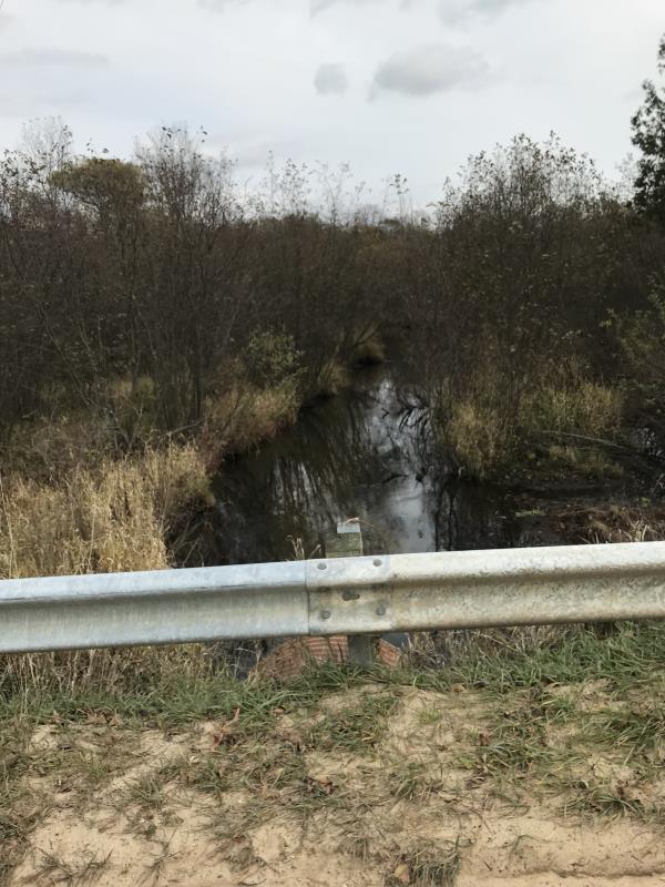
Upstream Conditions
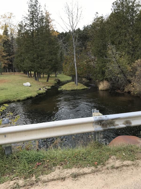
Downstream Conditions
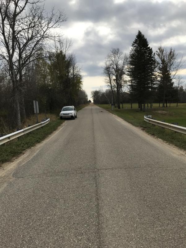
Road Approach - Left
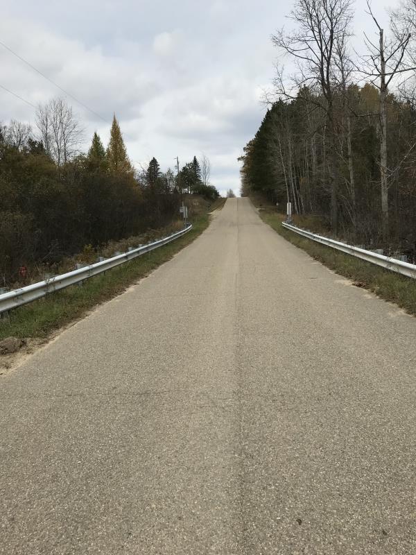
Road Approach - Right
Crossing Information
Type of Crossing: culvert(s)
Number of Structures: 2
Structure Shape: Round
Inlet Type: Projecting
Outlet Type: Cascade over Riprap
Structure Material: Metal
Structure Substrate: None
General Conditions: Good
Multiple Culverts/Spans | ||||
Culvert/Span | Width | Length | Height | Material |
1 |
4 ft. |
40 ft. |
4 ft. |
Metal |
2 |
4 ft. |
40 ft. |
4 ft. |
Metal |
Structure Interior: corrugated
Dimensions of Structure: Length 40 ft.
, Width 4 ft.
, Height 4 ft.
Percentage Plugged:
Inlet: 1% to 25%
Outlet: 0%
In Pipe: 0%
Percentage Crushed:
Inlet: 0%
Outlet: 0%
In Pipe: 0%
Perch Height: 1.3 ft.
Structure Inlet
Water Depth: 0.8 ft.
Embedded Depth of Structure: 0 ft.
Water Velocity*: 4.1 ft./sec.
Structure Outlet
Water Depth: 0.8 ft.
Embedded Depth of Structure: 0 ft.
Water Velocity*: 4.7 ft./sec.
*Water Velocities were measured 0.5 ft. below Surface
(with Meter)
Additional Comments
Lat: 44-03.218'; Long: 84-40.019'
Stream Information
Stream Flow: Less than Bankfull
Scour Pool: Length 48 ft.
, Width 54 ft.
, Depth 4 ft.
Upstream Pond: Length 40 ft.
, Width 33 ft.
, Depth 2 ft.
Riffle Information
Water Depth: 1.5 ft.
Bankfull Width: 15 ft.
Wetted Width: 13 ft.
Water Velocity: 1.2 ft./sec.
(Measured with Meter)
Dominant Substrate: Gravel
Road Information
Paved
County Road
Road Condition: Good
Road Width at Culvert: 20 ft.
Location of Low Point: At Stream
Runoff Path: Roadway
Embankments
Upstream
Fill Depth: 3 ft.
Slope: 1:1.5
Downstream
Fill Depth: 3 ft.
Slope: 1:1.5
Approaches
Left Approach
Length: 1000 ft.
Slope: Less Than 1%
Vegetation: Heavy
LS Factor: 0.05
Erosion: 0.0331 tons/year
Right Approach
Length: 600 ft.
Slope: Less Than 1%
Vegetation: Heavy
LS Factor: 0.05
Erosion: 0.0198 tons/year
Erosion Information
Total Erosion at Crossing: 0.0529 tons/year
Extent of Erosion: Moderate
Erosion is occurring and corrective actions can be installed to address the problem.
Notes: Survey was after a heavy rain, sand had accumulated at stream 4'x20'x2" deep, cutouts to ditch before stream could help reduce sand from entering river
Summary Information
Fish Passability 0
Erosion is an area of concern for this site.
Fix sand erosion to river, easy fix
Fish Passage
A future visit to this site is recommended. Fix sand erosion to river, easy fix
Fish Passage
�